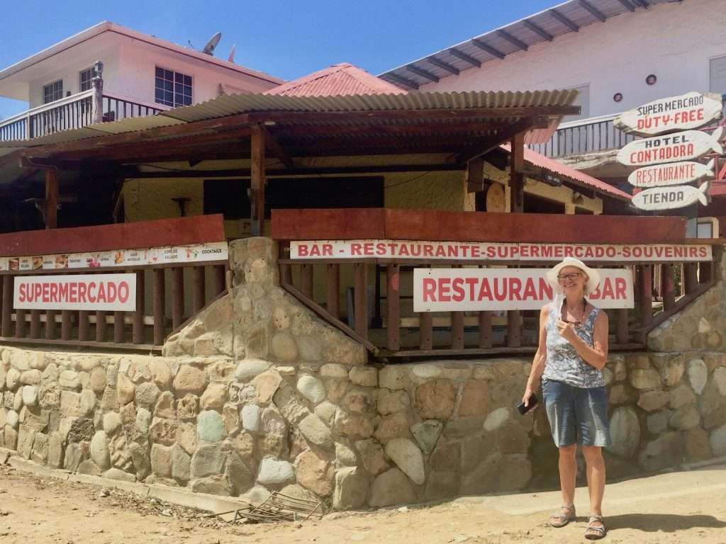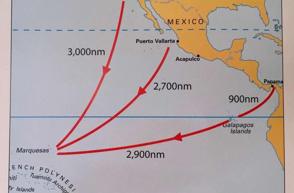
Pacific Crossing: Las Perlas to Marquesas Islands.
Note: Click on any image to enlarge.
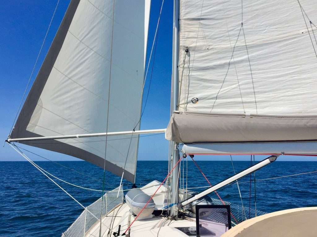
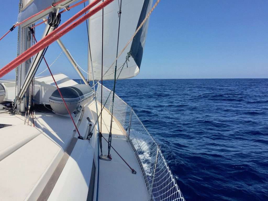
We set sail from Isla de Rey at 9:00 on Saturday the 13th March 2021. Just offshore, we had a farewell from a huge pod of dolphins, swimming with us for an hour. It was a clear sunny day with a 10kn N-W wind and flat seas, allowing us to pole out the jib, covering 165 nm in the next 24 hours.
By midday we reached the main shipping lanes to the Panama canal, staying just outside the northbound lane. We passed 23 ships by midnight, when the shipping lanes turned west up to the USA and south to Ecuador and Chile.
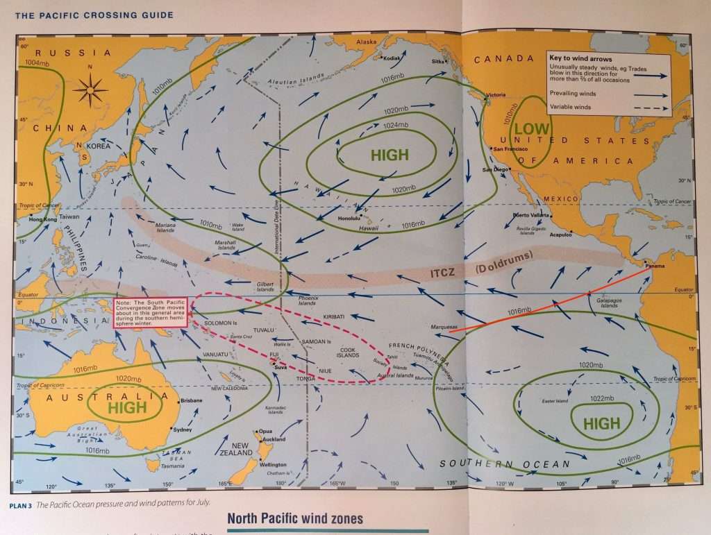
The next day was the polar opposite when a huge sea built up, possibly due to a counter current coming up the West coast of South America, fighting with the strong NE wind. By 10:00 we were down to two reefs in the main and a furled jib. But by 19:00 the evening, the wind died completely, forcing us to motor for seven hours, before a SE wind slowly picked up. Bob McDavitt, our new weather router in Auckland NZ, amended our waypoint, which was to pass the Galapagos Islands to the South, to a new waypoint north of the Galapagos Islands. This allowed us to keep sailing in this contrary wind.
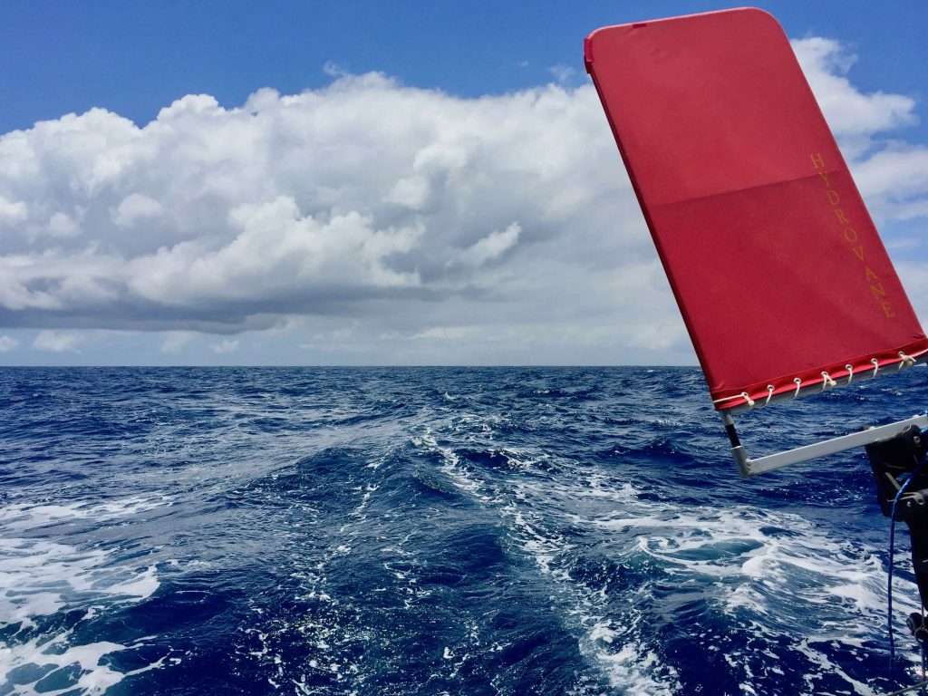
Day 3 started with flat seas and a light SE wind, which allowed Annie to squeeze into the tight rear lazarette locker to tighten the lower mounting bracket bolts on the Hydrovane – the bracket showed signs of lateral movement. Following the Hydrovane upper bracket drama between the Canary Islands and the Cape Verde Islands, we were keen to fix this, as soon as the movement was spotted during my early morning watch.
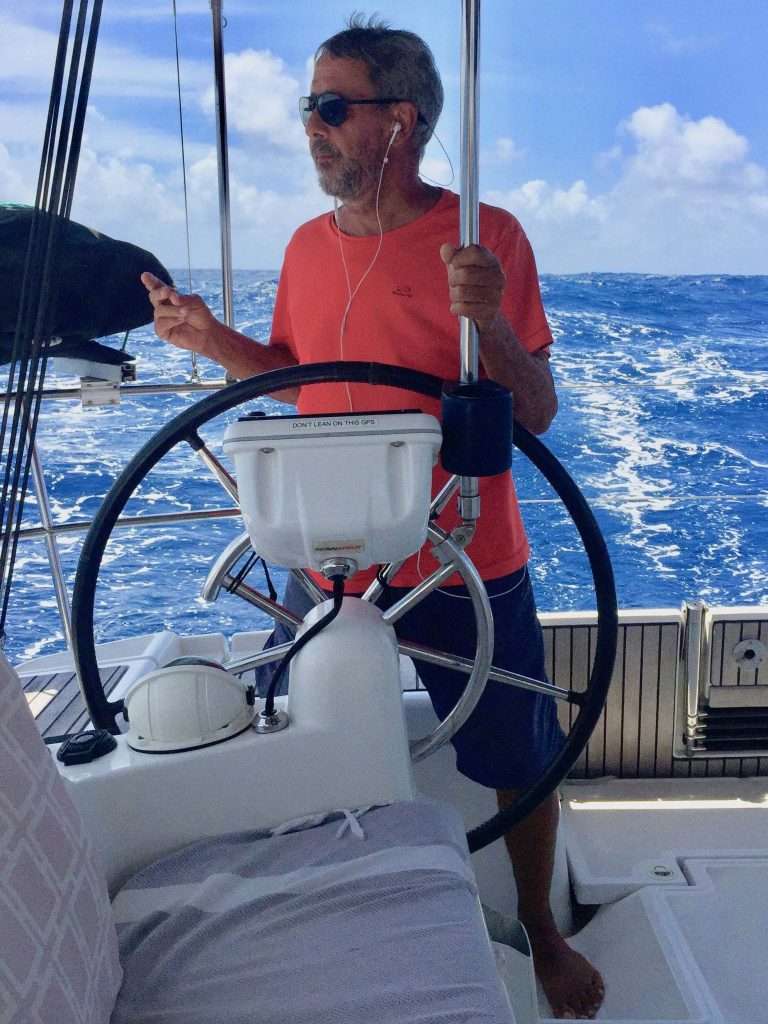
We decided on six hour watches: Annie 6 am – 12 pm, Dirk 12 pm – 6 pm, Annie 6 pm – 12 pm and Dirk midnight – 6 am. By the third day we had settled into this routine and were able to sleep at night when not on watch. I liked the late night watch as I enjoyed the spectacular sunrises we often had. The day watches were less structured, as it was difficult to sleep and there was always something to do, or to read.
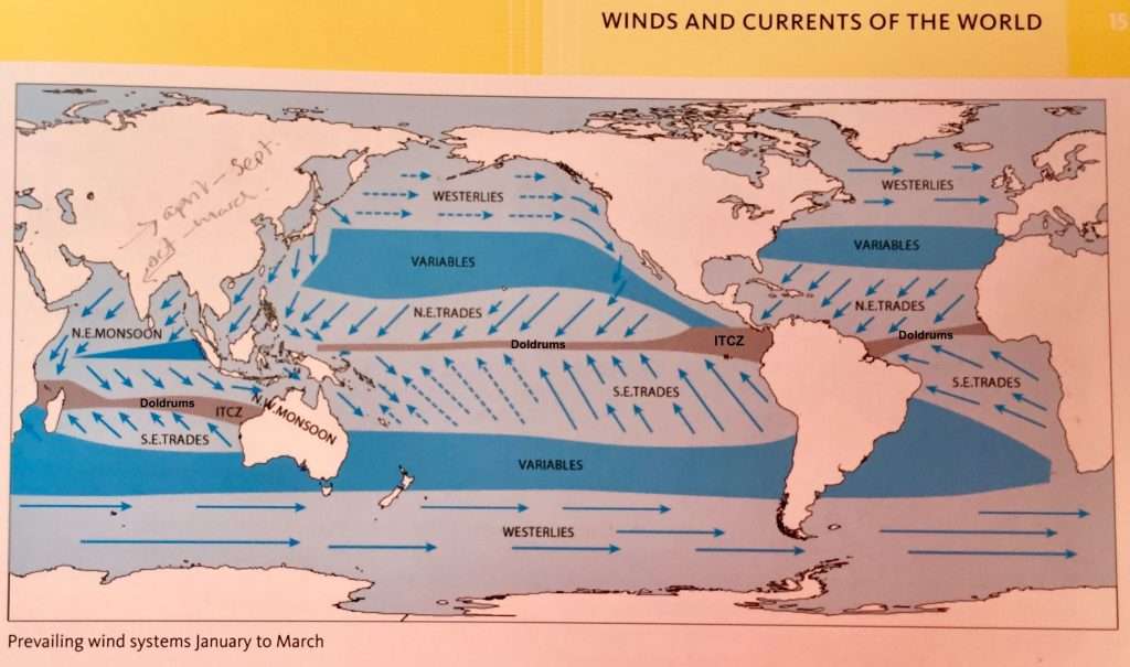
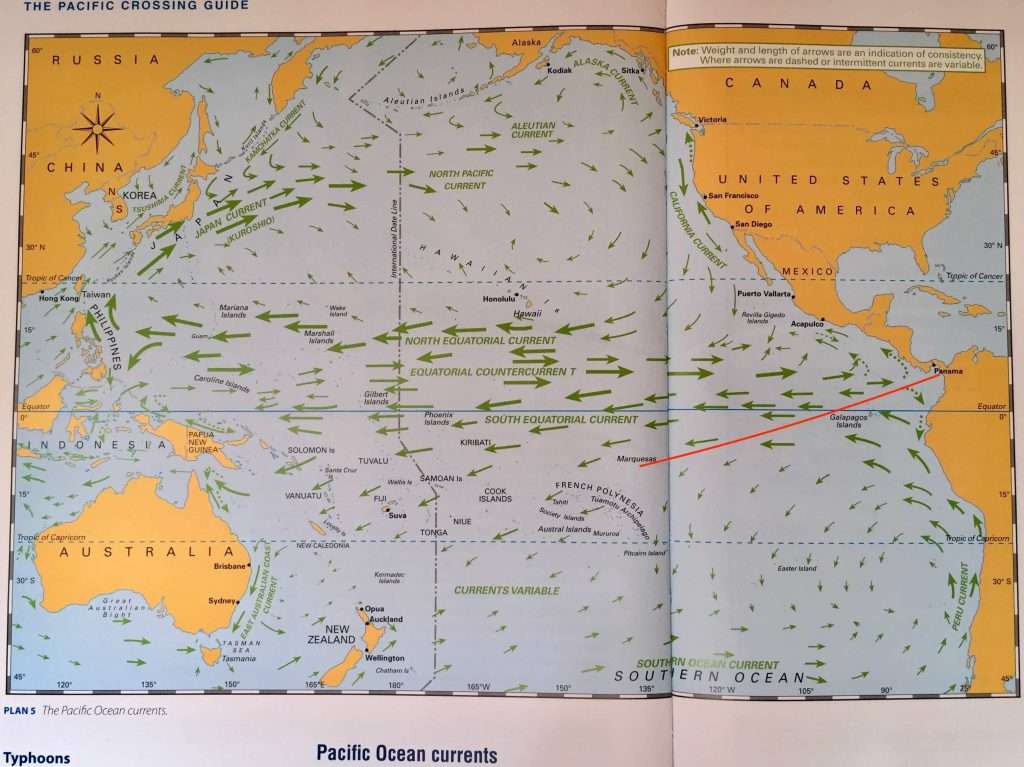
From days 3 to 6, the wind was variable from the SE (we often motored), but with a good 2.5 to 3 kn current running with us. We were looking forward to get to the equator to enjoy the benefits of the stronger west flowing equatorial current and the stronger prevailing SE winds at that latitude.
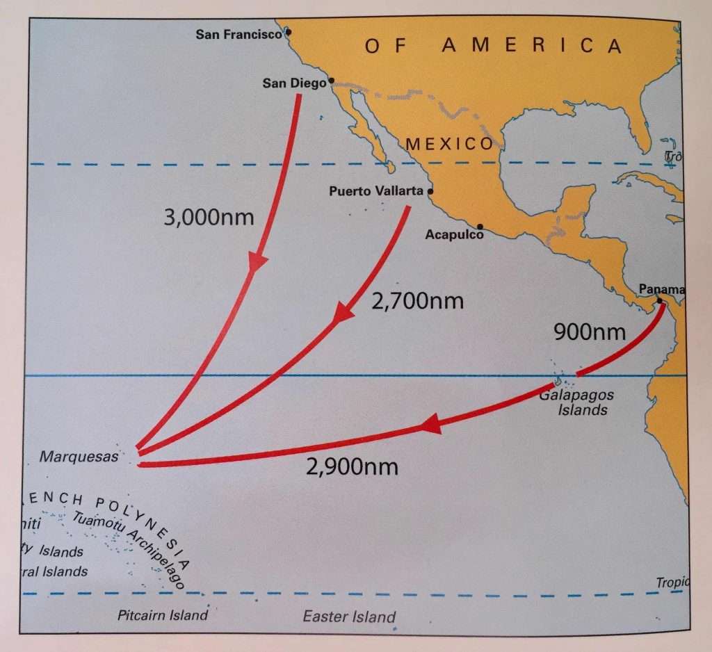
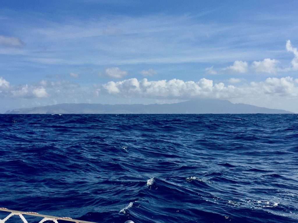
On day 5 we reset our course to a new waypoint 3, at 2 deg south and about 700 nm away, which Bob had texted us, suggesting better wind south of the equator. We passed the Galapagos Islands to the North on day 6, having sailed 915 nm, since leaving the Las Perlas Islands.
We crossed the equator going south on Day 7, the 20 th March 2021. The first time since crossing the equator going north, between Sumatra and Borneo on the 17 th October 2017, three and a half years ago – how the time flies! We had a a party on Esprit that evening, anchored off Kentar Island, in the company of Jon and Sue on Ocelot from the USA, Mick and Brenda from Australia on Grand Cru and Colin and Thant Zhin from the UK on Burmese Breeze – all of us having sailed north across the equator that day.
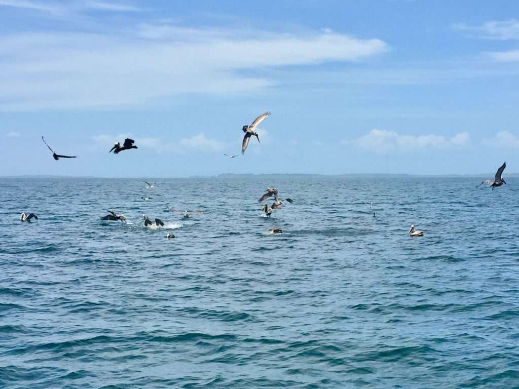
This crossing was a more sedate affair, being just the two of us, enjoying a few glasses of cold white wine from Chile. Our only company were the sea birds, out here in the middle of nowhere. We even had a tired Blue Boobie chick with red feet, hitching a ride overnight on the anchor at the bow. We also had the occasional pod of dolphins and four big Orcas swimming with us. The water was clear and blue, with the temperature around 28 deg C.
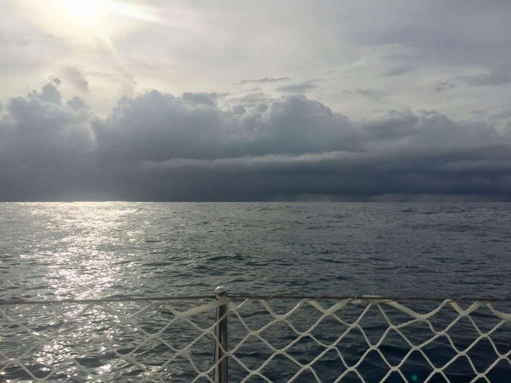
Close to waypoint 4 on day 8 and motoring about two degrees south of the equator, Bob advised that the SE winds will be stronger at four deg, south of the Equator and to aim for 100 deg W. This was still 200 nm away, so we headed south and ran into quite a heavy rain storm (from the NW!). Showing how unpredictable weather systems can be. It gave the boat a good wash.
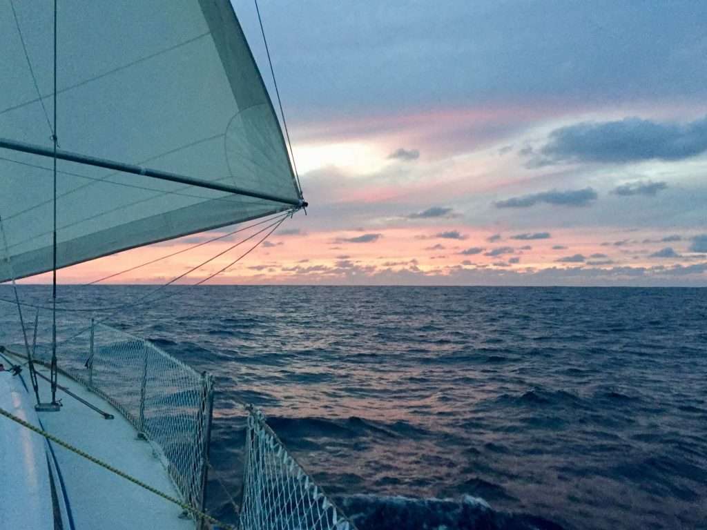
On Day 9, we were able to set a course to Nuku-Hiva in the Marquesas group of islands, still 2,642 nm away. We were now in the SE trade winds and settled into the Pacific Ocean rhythm for the rest of the trip. The Pacific lived up to its name as a passive ocean, with sometimes lumpy, or flattish seas, occasional showers, constant 15-20 knot south easterly trade winds and a westerly flowing ocean current of around 3 knots. Good sailing conditions!
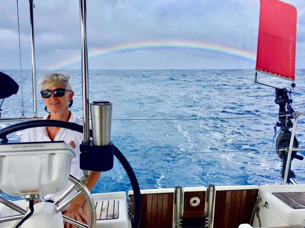
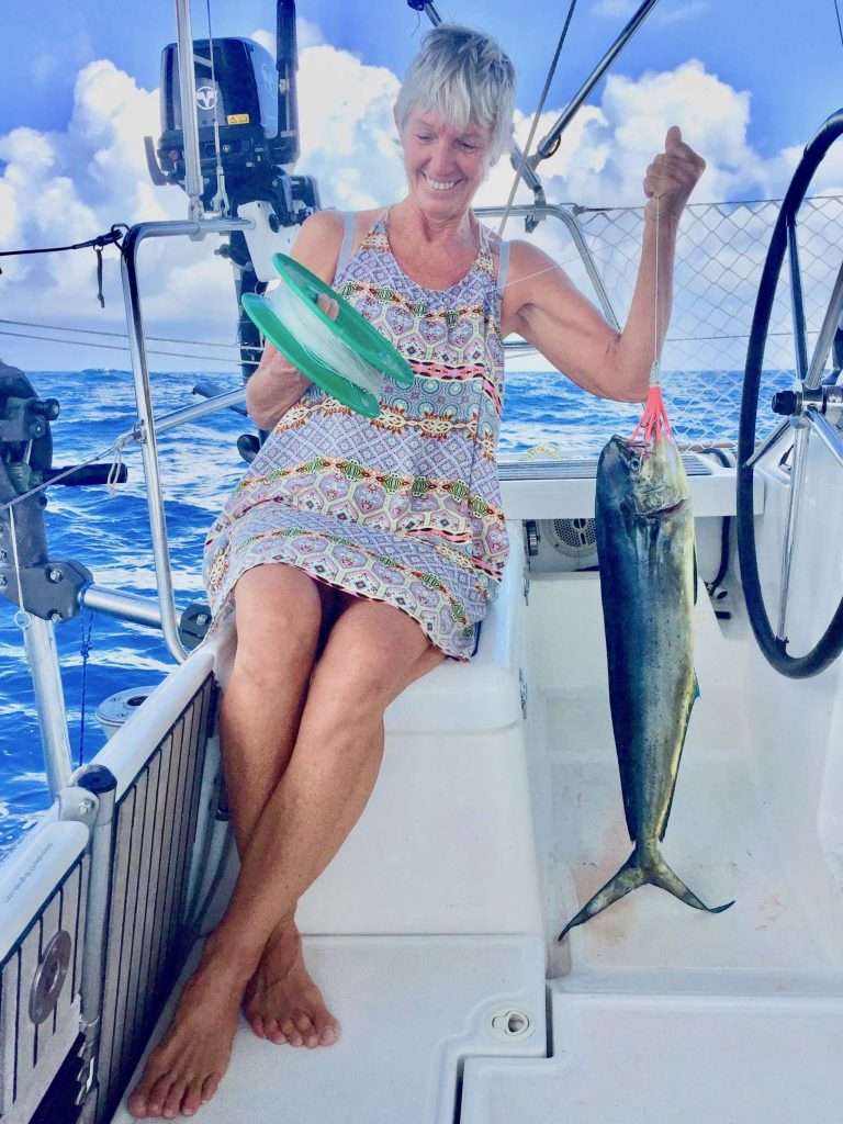
On Day 13 we reached the halfway mark in this 3,800 nm plus (7,038 km) Pacific crossing, with 1900 nm to go to Nuku-Hiva. We were rewarded with a huge Mahi Mahi that Annie caught, a beautiful rainbow preceding a storm and a serious rain storm during the night. Note: Annie’s fishing prowess didn’t include the stranded, stinking flying fish, we had to chuck overboard daily.
We were making more easting than southing, but after crossing 5 deg south, we encountered continuous 2-3 m swells and heavy clouds, which invariably dumped rain on us at night. The rain and gusts were a nuisance at night, as it always resulted in reefing the main and shaking out the reefs at daybreak. Also tiring, was the constant rolling of the boat due to the big swells. I consoled myself that this is a form of exercise, improving my core strength.
On day 19, the 1st April we were running out of fresh water. It was expected, as we use about 25 litres/day and knew we would have to run the desalinator during the crossing. The sea however was enormous which meant we could not risk putting the Honda generator on deck or drop the sea water hose over the stern, as the boat speed would have it sucking air on the water surface.
MetBob responded to our request for guidance and advised we should divert to 8 deg south, to get out of the convergence zone and into flatter water. We sailed south for 14 hours overnight, not making much westing. On day 20 at 9 am we dropped the sails, set the autopilot to take us dead downwind and jury rigged the sea water intake hose to the paddle board’s 2.5 m paddle.
The paddle we lashed low down on the Hydrovane shaft to get the inlet to maximum depth, as the stern was occasionally lifting clear out of the water, due to the following swells. You don’t want air sucked into a desalinator! Two hours later, the aft water tank was full and we set sail knowing we had sufficient water for the next eight days – quite a relief.
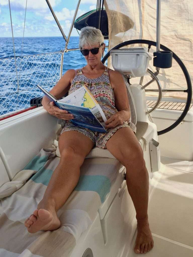
We managed to read a lot, listen to music and talk about our future plans, once back in Australia. We look forward to catching up with our daughters and our friends, sell the house and downsize to something smaller. Buy a car and new bikes and then start planning for the Beyond the Great Barrier Reef Rally through the Coral Sea, in 2022. We may also attend the Shag Island Rendezvous in Queensland again.
Our original ETA in the Marquesas was Wednesday the 7th April, but light winds over the last four days of our crossing, put paid to that. So here we are:
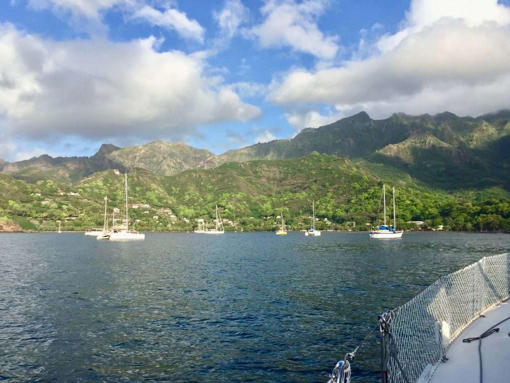
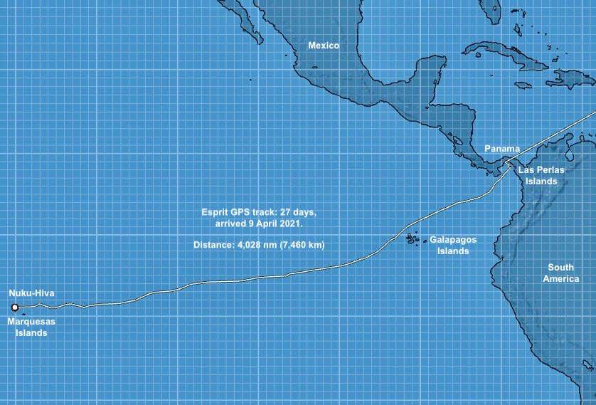
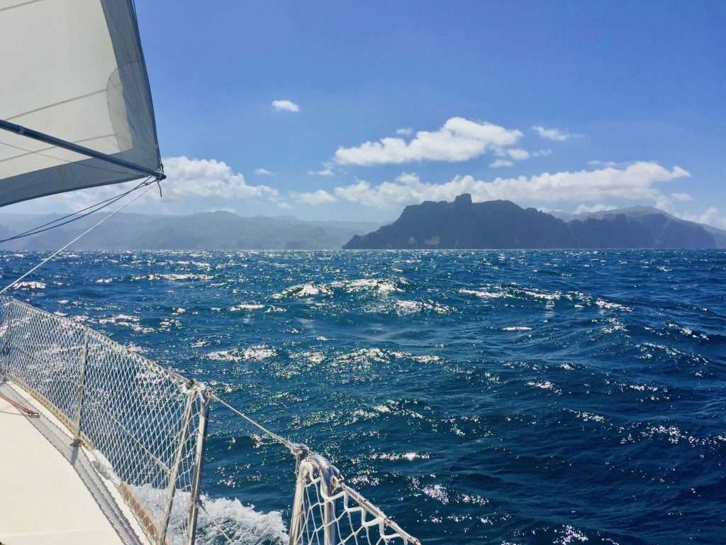
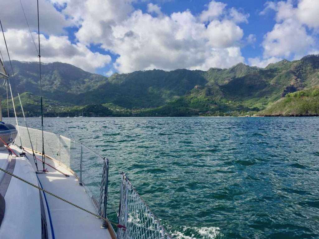
We have arrived at Nuku-Hiva on Friday 9th April 2021, Day 27 – a day short of four weeks. We have covered 4,028 nm (7,460 km) from the Las Perlas Islands in Panama. The 1982 South Atlantic Race from Cape Town to Uruguay on a Farr 38, remain our longest crossing at 28 days, with a greater distance sailed.
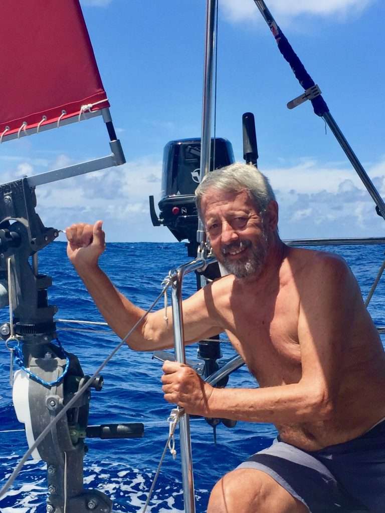
Harry the Hydrovane has steered us for the entire crossing, bar two hours, when we had to run the water desalinator to fill a water tank. Harry is a good crew member – never complains and doesn’t eat or drink.
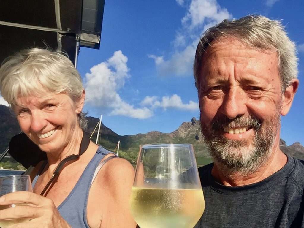
Now we are going to relax and will report again in due course. Cheers!