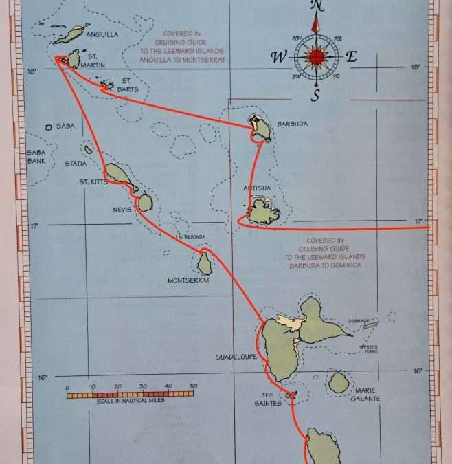
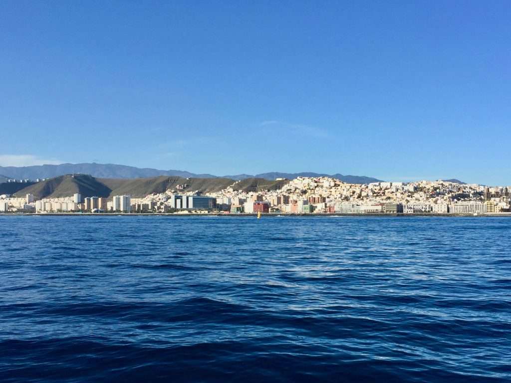
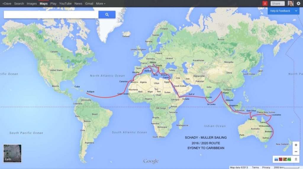
Guadeloupe is composed of two islands in the shape of a butterfly, separated by a narrow river/waterway. The western island is called Basse-Terre. The route along the West coast of Basse-Terre is the beaten track for cruising sailors. A fluency in French is extremely helpful, although not absolutely necessary. The culture is very different from the English speaking islands to the North and south and much more laid back. Guadeloupe is part of France and the currency is the Euro.
Deshaies town from our anchorage.
Our first stop was in the North west of the island at Deshaies (pronounced Deh Heh) on Wednesday the 12th February, where we tied up to the free mooring buoys for yachts. The town is a quaint and laid back fisherman’s village with a number of nice restaurants. Checking in on a computer at the police station was a breeze and took 10 minutes.
Deshaies scenes: The church.
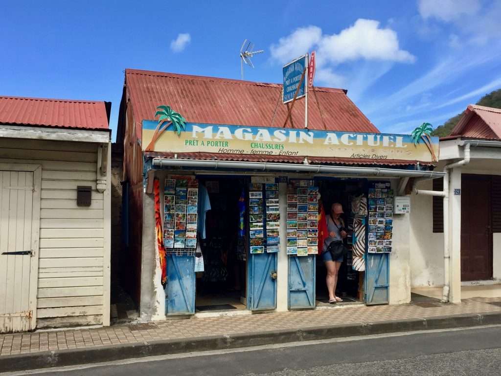
A small shop.
The graffiti is almost acceptable.
People lining up for the music festivities.
A few km above Deshaies is the Deshaies Botanical Gardens. We walked up, about an hour uphill and about 40 minutes down. The gardens are extensive and well worth the visit, despite the EU15 entry fee per person.
The botanical gardens entry.
The huge koi pond.
Colourful parrots.
Look at the birdie.
My flower in her element.
Flamingo’s.
Usually, I look like a rhapsody in old anchor ropes – today it’s old roots.
Beautiful orchids.
View down to our anchorage.
Guadeloupe has a bus service that covers the entire island and is inexpensive. We used this to explore the island and visit a shopping centre at Destrellan, where Annie had some retail therapy. We met quite a number of sailors in the anchorage with similar itineraries as our own, which resulted in numerous sundowners for “planning”. We will no doubt see them along the way to Panama. We enjoyed the town, people and lush green environment so much, we ended up staying for a week.
Waiting for the bus to Destrellan – while the chickens cross the street.
A friendly baby pelican on the dock.
Our next anchorage was only 9 nm south at Malendure, behind Pigeon Island, in the Cousteau Marine Park, where there were excellent snorkelling and diving opportunities. An added surprise was that about 40 metres from the dinghy anchorage, we found an excellent laundromat and a further 50 m on, a Carrefour supermarket. Lugging our shopping in backpacks and trolleys, usually requires at least a half an hour trek.
View from our mooring buoy at Pointe Coquelet, Terre de Haut.
After two nights at Malendure we had a relaxed 23 nm sail to the Iles des Saintes (the Saints Islands), where we picked up a mooring buoy at Pointe Coquelet on the island of Terre de Haut. These buoys weren’t free, as this a very popular destination for cruisers. We thought Guadeloupe was fantastic, but these islands are exceptional. There is this “joie de vivre” quality that adds to the beauty of the place – impromptu parades with drummers and musicians dancing down the narrow streets, with the tourists joining in.
The rhythm section.
The dancers having a break.
Cute little miss.
Trainee drummers.
Lovely teenagers.
Kid’s heaven.
The fruit salad group.
Our first day was a challenge for me, as Annie insisted on climbing up to Fort Napoleon above the town – serious cardiovascular stuff, approaching a heart attack. The next day was more relaxed, exploring the town on the level, stopping for coffees and croissants.
My drill master at Fort Napoleon.
View down to town from the fort.
On the Sunday, we had bright sunny conditions, which galvanised us into action to do some canvas waterproofing work. After almost four years of wear and tear, the spray dodger, bimini and infill panel leaks like sieves into the cockpit and on to us, when it rains. I had read an article about mixing a cartridge of silicone sealant with a litre of white spirits, to make a good waterproofing mixture for canvas work. It takes a while to dissolve the silicone in the spirits, to get a paint consistency, then you brush it on to saturate the canvas. The white spirits takes about 15 minutes to evaporate, leaving the silicone in the fabric and voila! Hopefully waterproof. I will report back after the first rain!
The following day – view from the town mountain across to Ilet a Cabrit.
View down to Terre de Haut.
One of the colourful characters of Terre de Haut.
A Creole house.
A Creole restaurant.
The waterfront.
Terre de Haut church.
Street food.
We second that!
In the meantime we explored the island and adjoining islands which were only a dinghy ride away, snorkelling and climbing up to Fort Josephine and the Sugar Loaf. We had a good rain downpour four days later and the waterproofing of the canvas worked a treat – we’ll see how long it lasts.
Annie paddle boarded to the small island of Ilet a Cabrit to visit Fort Josephine.
Fort Josephine.
View down from the fort.
Paddling past Pain de Sucre.
We ended up spending 10 days in Terre de Haut before enjoying a brisk 21 nm sail to Portsmouth on the North west coast of Dominica. Quite a nice anchorage with good phone/internet reception. Our next anchorage was at Sibouli, a mile south of Roseau the capital, on the South west corner of Dominica. English is the official language of Dominica, but Dominican Creole, based on French, is widely spoken.
Portsmouth anchorage.
A beautiful four master anchored off Portsmouth.
Dominica is especially vulnerable to hurricanes as the island is located in what is referred to as the hurricane region. More recently, in 1979, Hurricane David, in 2007, Hurricane Dean, in 2015, Tropical Storm Erika and in 2017 Hurricane Maria struck the island, the latter causing losses of approximately US$ 930 million or 226% of Dominica’s GDP. The island is very green and is a coffee producer, but has very few beaches and hence, little tourism.
Sibouli anchorage, Dominica.
Back in Australia, our daughter Karen, recently returned from Cuba and South America, informed us that she has bought herself a house in the historic old part of Newcastle, where she works at the John Hunter Hospital. Newcastle is about two hours north of Sydney. Welcome to the world of mortgages my girl!
Sold.
We had a good 33 nm sail south to Martinique and anchored at Saint Pierre on the 4th March, in the north west of the island. This French island has a lot to see and we will make that the subject of our next post. Until then, cheers!
We arrived in Antigua on Saturday the 11th January 2020. This was the weather the day before our landfall:
Another squall approaching, as we get close to Jolly Harbour, Antigua.
And this was the weather the day after our landfall:
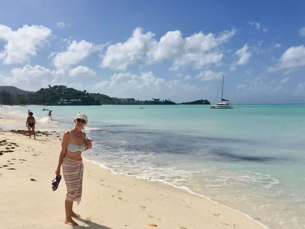
On the beach at Jolly Harbour.
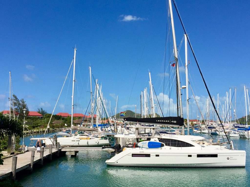
Tied up in the Jolly Harbour marina next to the Leopard “New Beginnings” from Cape Town.
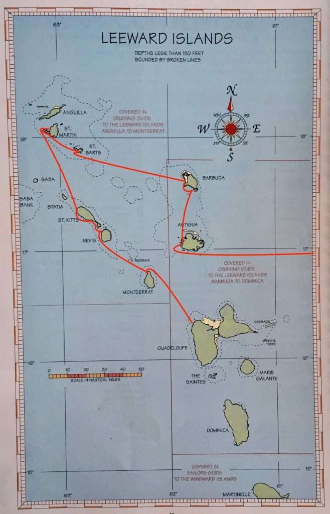
The Leeward islands.
Antigua and Barbuda is a state in the West Indies consisting of the two main islands of Antigua and Barbuda and a number of smaller islands including the uninhabited Redonda Island. Barbuda is approximately 30 nm north of Antigua The majority of the English speaking population of 95,000 live on Antigua.
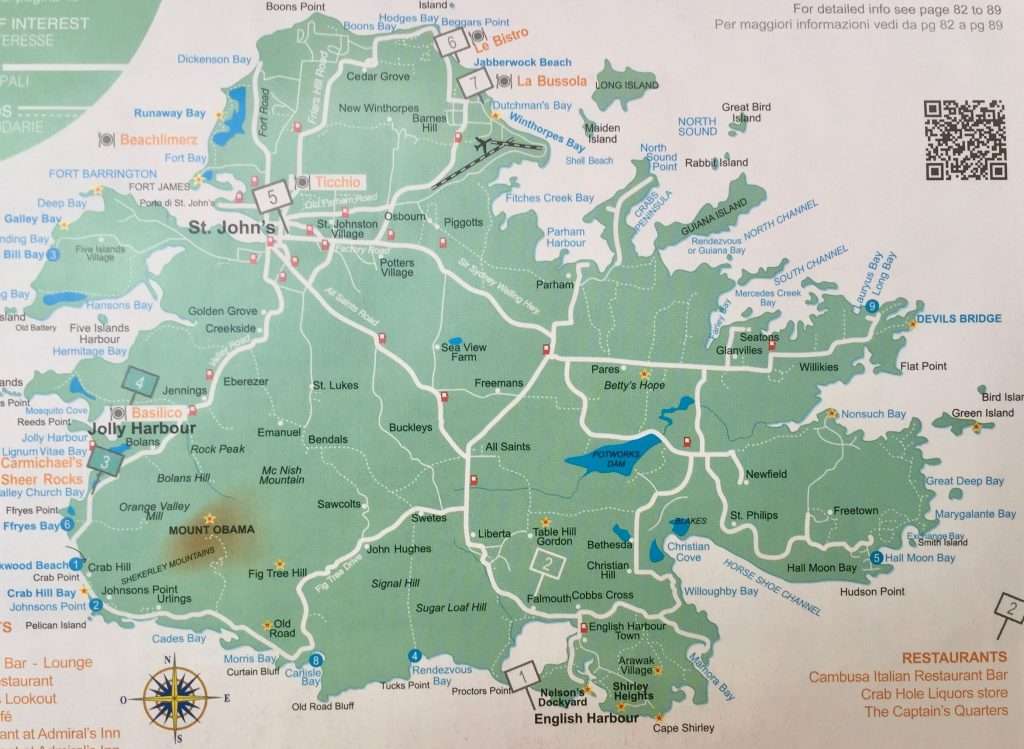
Map of Antigua.
Hurricane Irma – the most powerful Atlantic hurricane in recorded history – ploughed over the top of Antigua and Barbuda in early September 2017. The Category 5 storm had sustained wind speeds of at least 300 km/h and gusts over 325 km/h. Barbuda was virtually destroyed and the entire population was evacuated, however, most of the residents have now returned and the island is slowly rebuilding. The Islands are renowned for magnificent white sandy beaches coral reefs and the colonies of Frigate birds which are slowly returning to the island of Barbuda
Now, to quote from A Cruising Guide to the Lesser Antilles Vol. II. The Leeward Islands:
“Antigua is a very special place for cruising yachtsmen. While each island in the Caribbean has something special, Antigua is a right of passage for cruising boats. When you come to Antigua on a cruising boat and clear in, it is like walking through a dream. The island is full of inlets that have sheltered bays and wonderful beaches. It was Admiral Nelson’s base and the home of a variety of pirates”. I wouldn’t be waxing that lyrical, but I should add, the famous Antigua Week Regatta in April, when sailors from around the world arrive, to compete in various classes, from classic wooden boats to the latest designs.
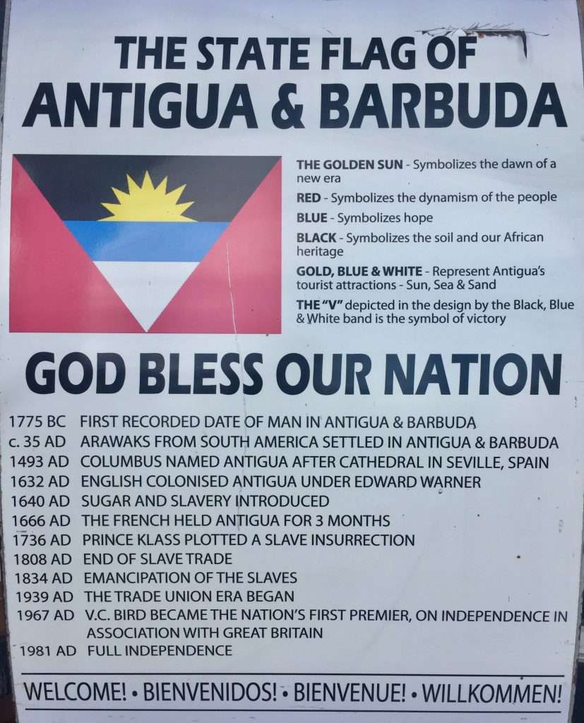
A concise history of Antigua and Barbuda.
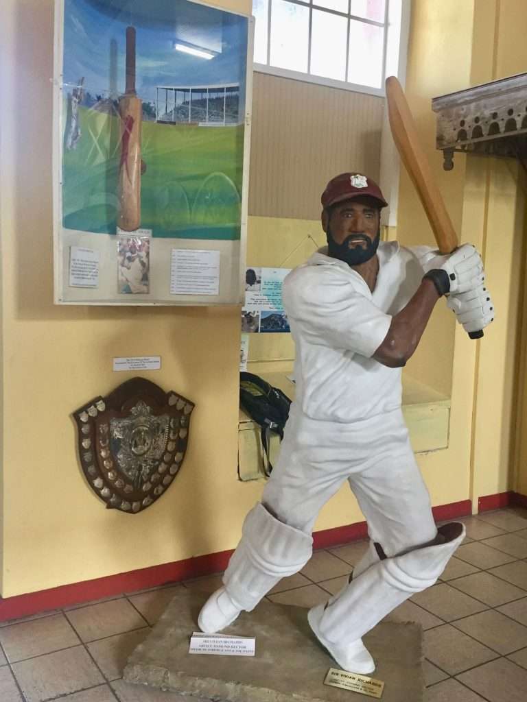
For us it was like heaven, purely to be on land again, in a beautiful harbour and an island of very friendly people, mostly descendants of the West African slave trade, brought here to work on the sugar plantations. There are churches of every denomination, every kilometre along the roads, but from discussions with the taxi bus drivers, cricket is the real religion. Their national hero is Sir Vivian Richards, but they can also recite Bradman and Tendulkar’s batting averages with authority.
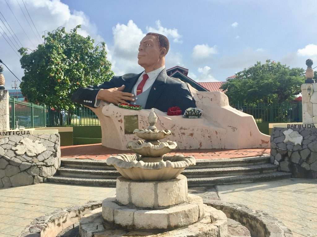
Viv Richards celebrated at the entrance to the museum.
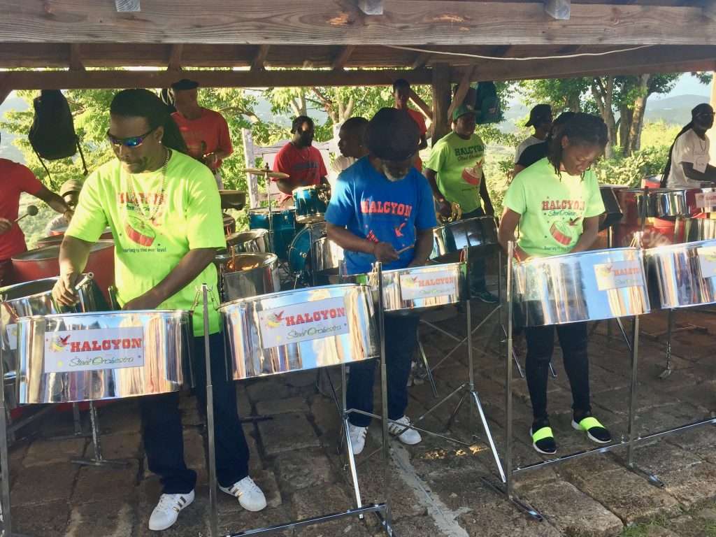
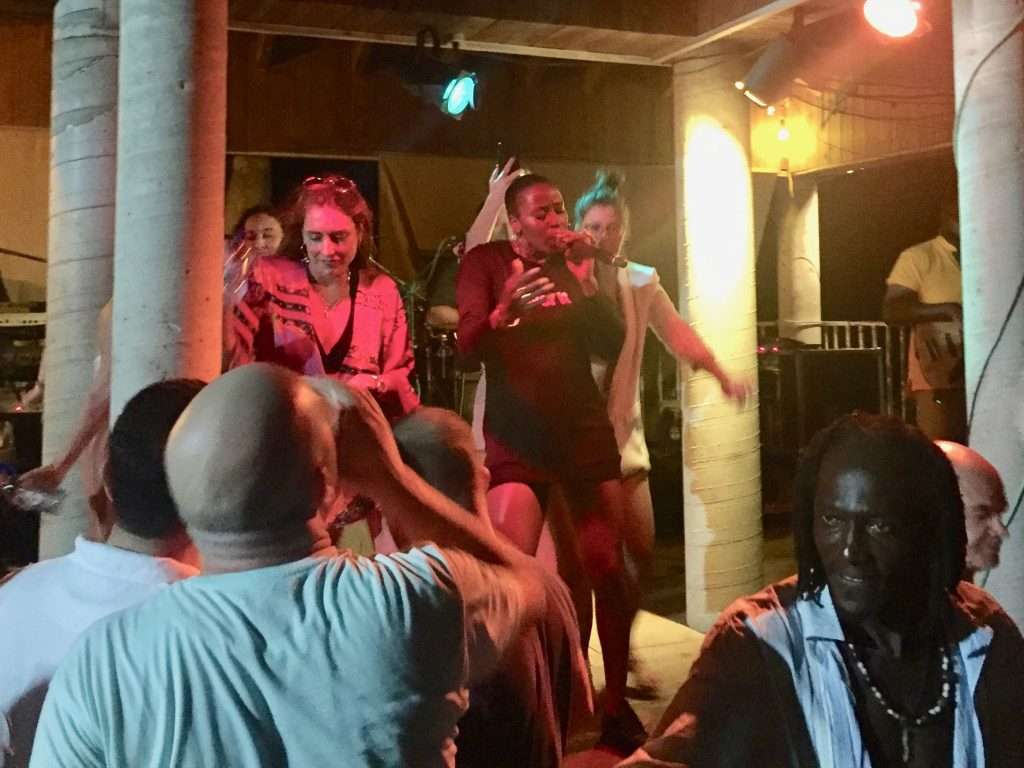
Having caught up with sleep on Saturday and Sunday, we were invited to go to the Sunday night “Jump Up” steel band and reggae night at Shirley Heights restaurant. This turned into quite a party with cheap “Dark and Stormy” rum cocktails and beers, with BBQ ribs, spicy chicken and salads. The steel band was amazing with about 40 members working hard at their craft, followed by a reggae band, fronted by a dynamic female vocalist. Leon, our taxi driver got us safely back to Jolly Harbour.
The steel drum band.
The ladies on stage, dancing with the reggae vocalist.
On the Monday we caught a bus into St John’s to explore the town and buy Digicel SIM cards and have lunch at Hemingway’s restaurant. The bus driver on the way back to Jolly Harbour, had aspirations to follow in Michael Schumacher’s footsteps.
The premier’s statue in St John’s.
This nondescript church in St John’s was pumping out gospel music at full blast.
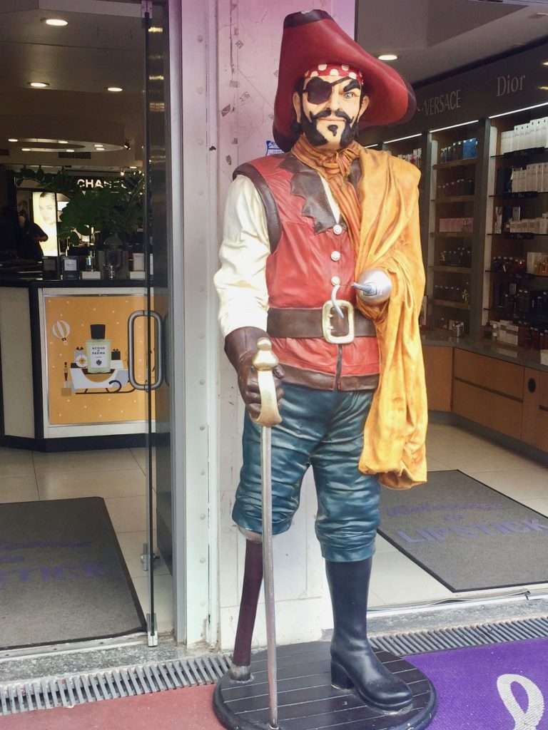
This pirate has suffered a few setbacks.
The evening turned into quite a p1ssup atthe Crow’s Nest restaurant with Jack, Jan, Robbie and Bev from the US. The following day a bus took us to English Harbour and Nelson’s Dockyard –a World Heritage Site, beautifully maintained.
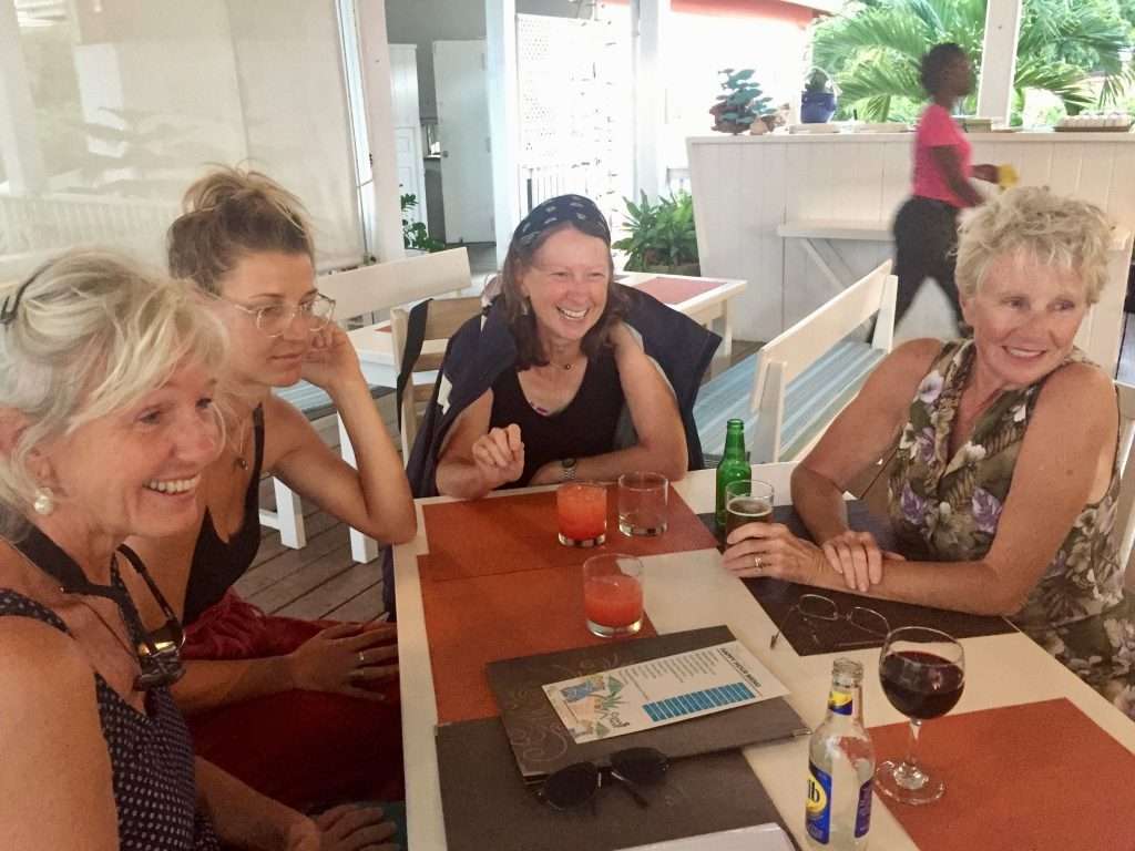
Annie, Michelle, Jan and Bev at sundowners.
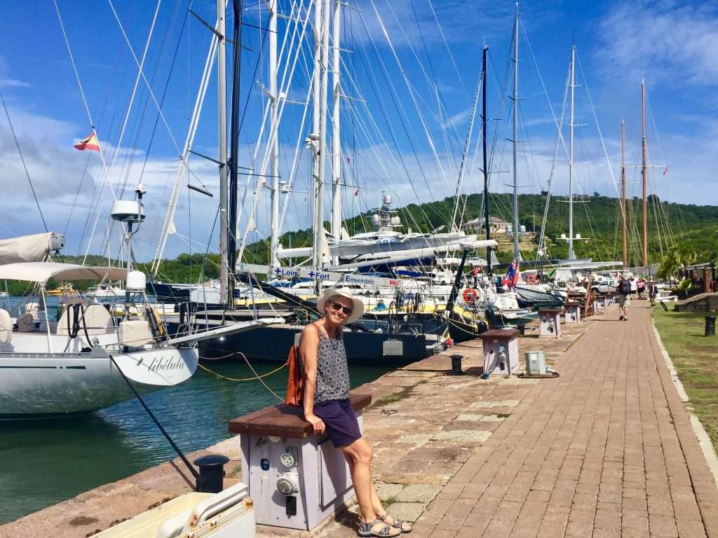
Annie at Nelson’s Dockyard.
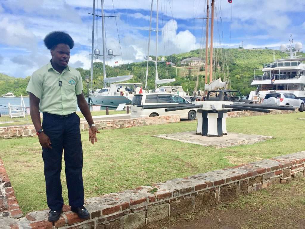
Our guide – the locals have the most creative hairstyles.
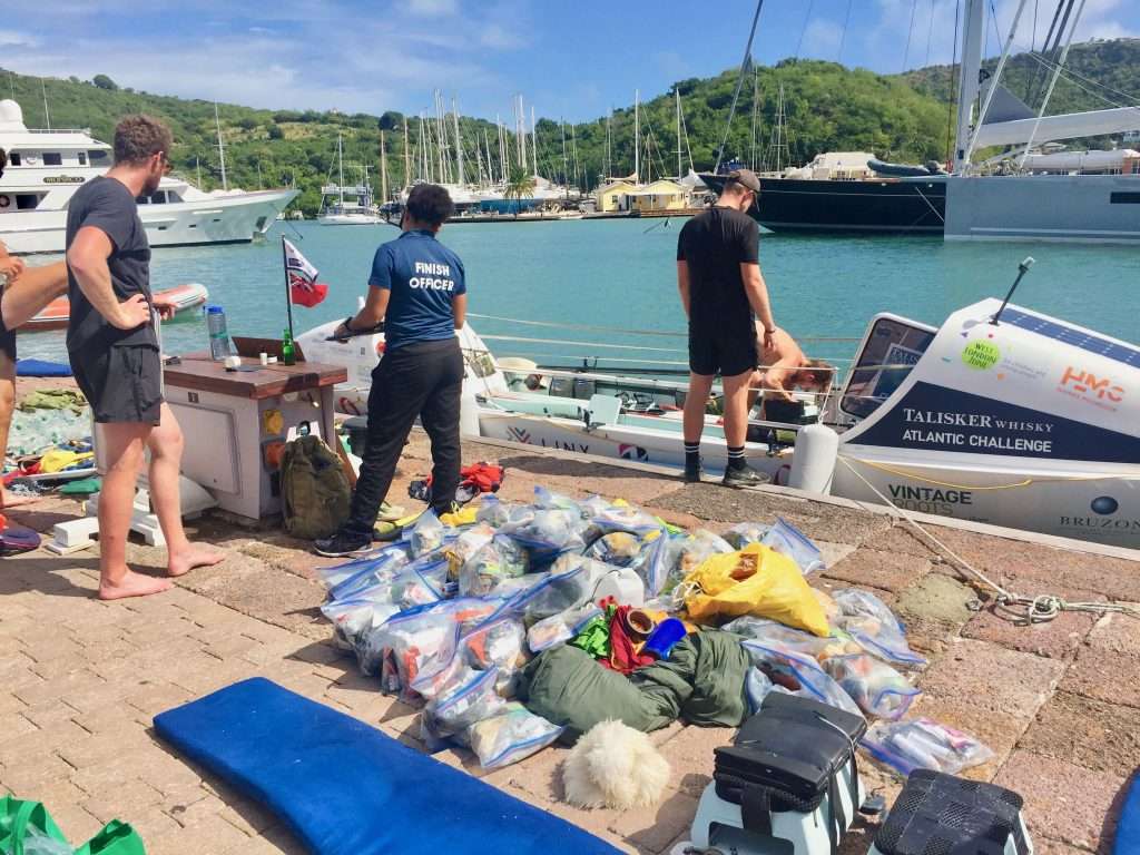
These 4 UK rowers had just arrived at Nelson’s Dockyard after their 3,000 nm row from the Canaries.
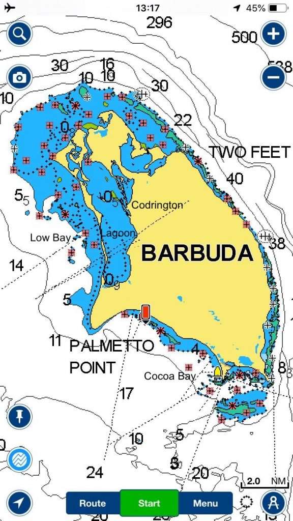
On the 16th, after five days in Antigua we sailed 32 nm to Barbuda, north of Antigua, where we anchored in Cocoa Bay with its beautiful white sandy beaches. The following day it was a nine mile hop to Low Bay where hurricane Irma had washed away about 700 metres of the sand spit between the ocean and Codrington lagoon, giving access to the island’s only village, Codrington. We crossed the lagoon to spend some money in town and stimulate their economy, which suffers from a lack of tourists.
Barbuda map.
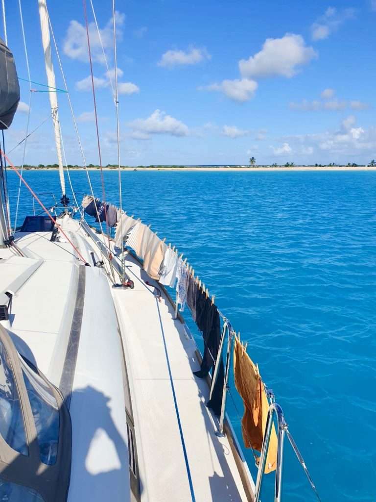
Michelle’s laundry day at Cocoa Bay.
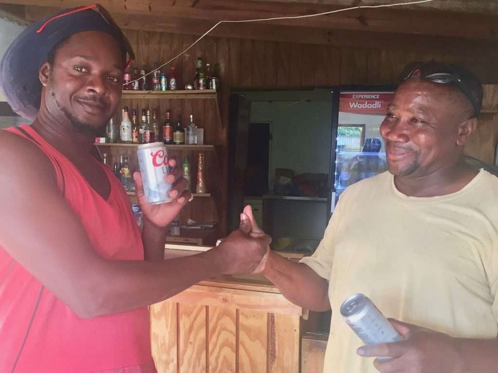
Most of the 2,000 odd population has returned to the island since the hurricane, but the re-building process is slow. We met Neil, a lobster fisherman at the harbour, who said they were disappointed with efforts of the central government in Antigua. He offered to take us to the pub, some distance from the harbour, to meet some locals, in exchange for a beer. One beer led to a few more.
Neil the lobster fisherman and a Rasta friend at the pub.
The following day, Saturday the 18th January at 07:30, we set sail for St Bart’s, 61 nm to the North west, where we anchored at 4:30 pm in the channel off Gustavia. Gustavia, the capital, was named after King Gustav of Sweden. The island’s actual name is St Barthelemy. Sweden sold St. Barts to the French in 1878. The Island can best be described as a Jewel of France, whose strong but invisible police presence discourages so much as a criminal thought.
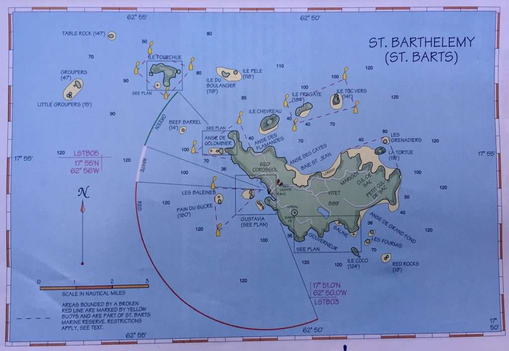
St Bart’s map.
There is no question that this is one of the most upscale islands in the Caribbean. Infrastructure, zoning requirements for development, marketing and so many other factors, keep this place as neat and well run as any you will ever visit. It is a scene right out of a movie. While the island is clearly French with an overtone of rich, there is a very strong sense of its Swedish origin. If you look carefully you will see traces, for example all the streets have Swedish and French names.
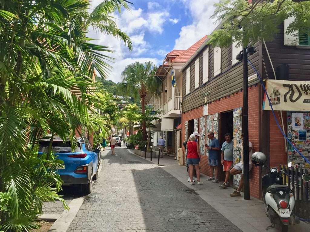
St Bart’s street.
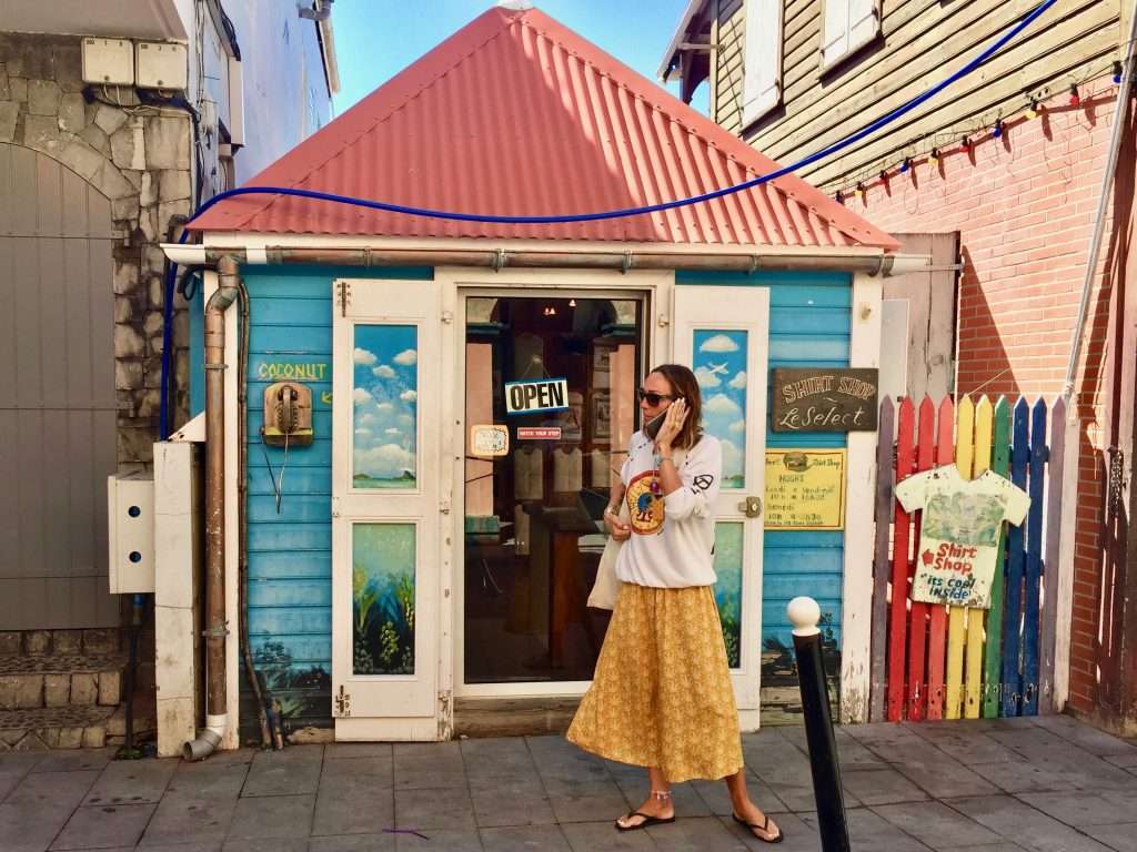
Quaint little shop.
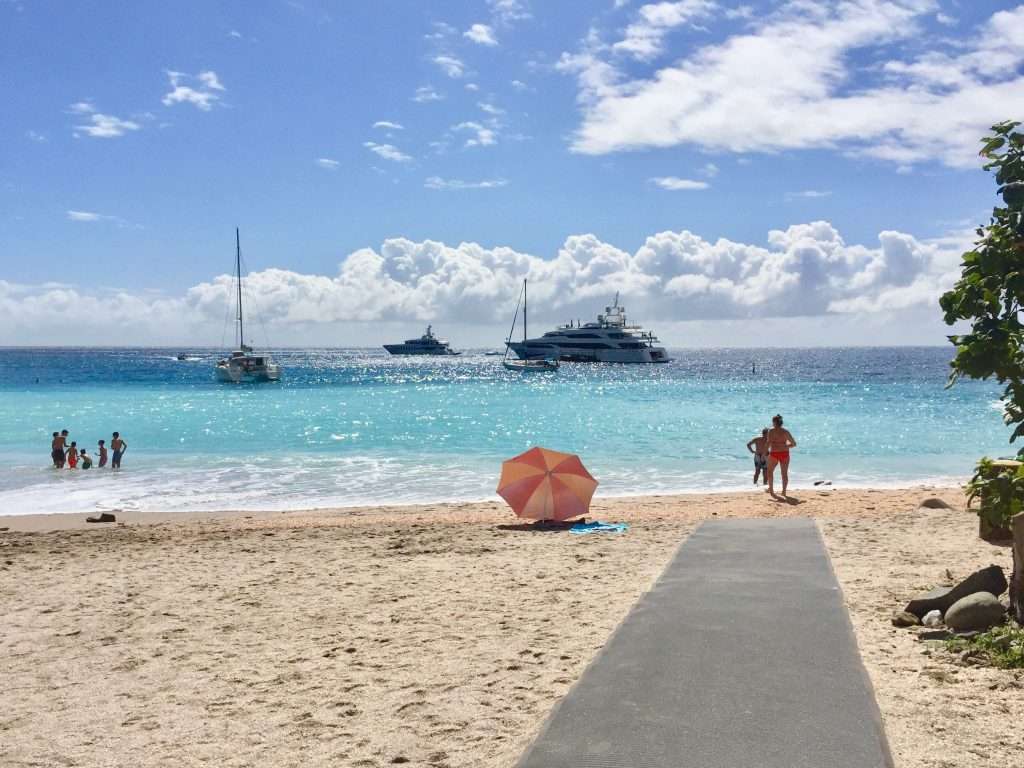
Shell Beach, St Bart’s.
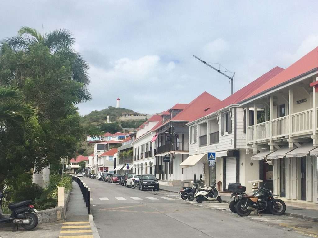
St Bart’s main street.
After three days of exploring Gustavia and its surrounds, during which Michelle hiked around the island, we motored to the Bay of Colombier north west of Gustavia, to pick up a mooring in the marine reserve. This afforded us the opportunity to hike the trail along the North coast to the Bay of St Jean. This trail has an amazing variety of cacti growing along the way, with tortoises ambling unperturbed on the path – much like the huge turtles swimming in Colombier Bay.
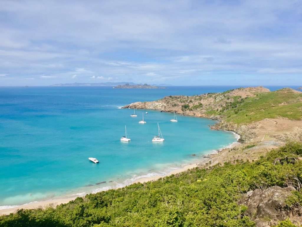
Colombier Bay – Esprit on the right. St Martin on the horizon.
The coastal walk to St Jean.
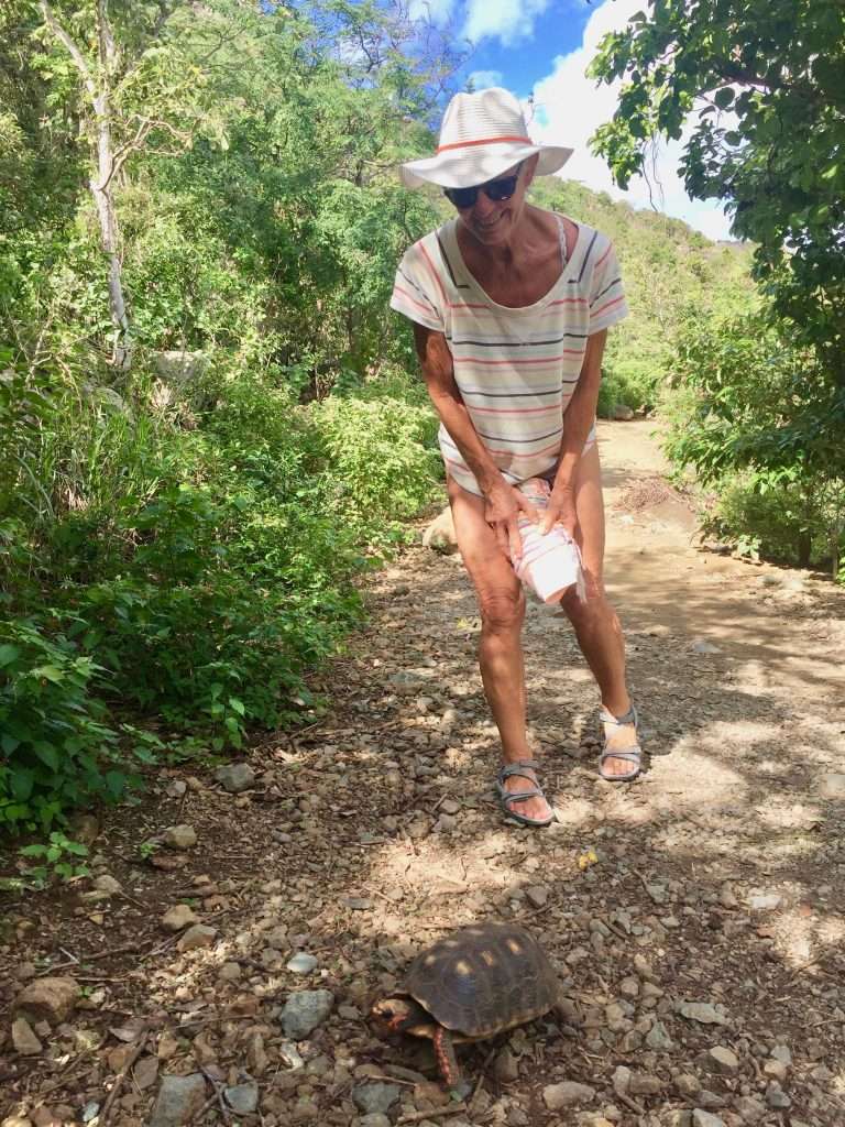
Annie and a tortoise.
St Jean.
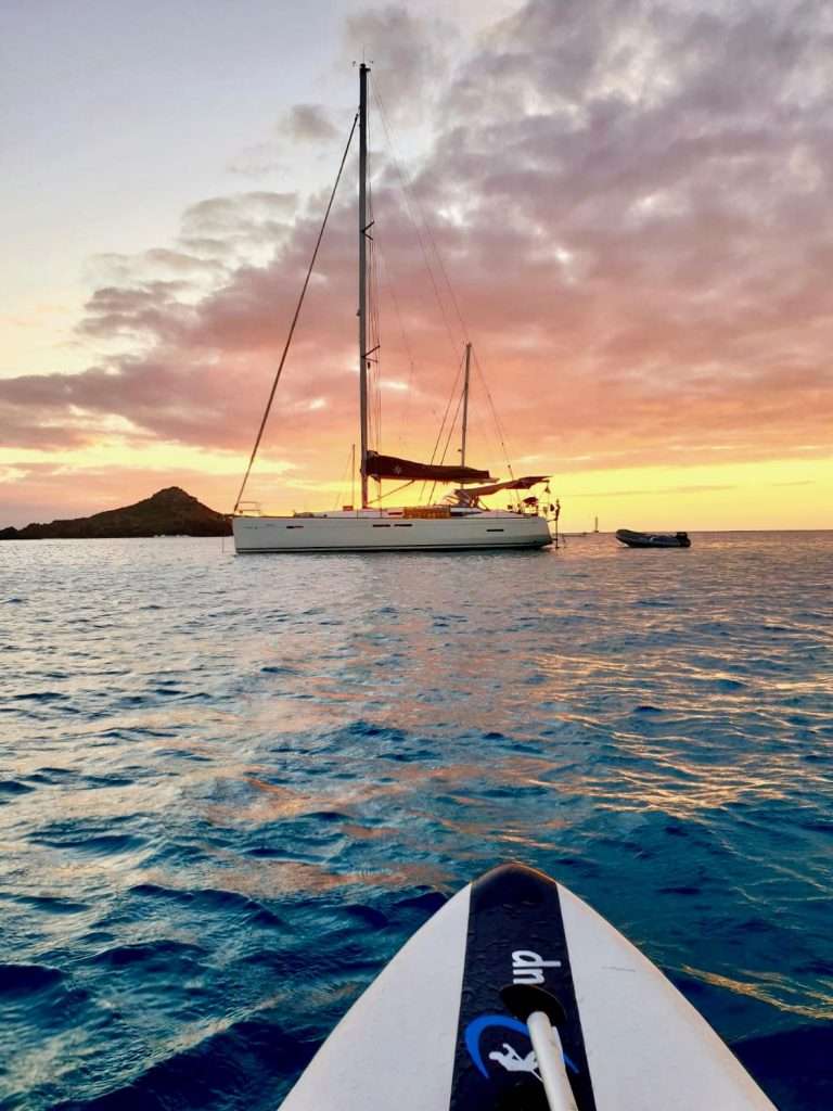
Esprit at sunset at Colombier from Michelle’s SUP.
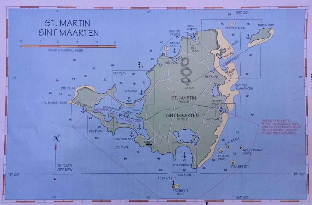
A relaxed, but short sail of 15 nm on the 23rd January brought us to the island of St Martin/Sint Maarten. The island is divided across the middle. The northern part is French, the southern part Dutch. There is a story, unsupported by historical fact, that the French and Dutch were so civilised that, rather than fight over the island, they had a Frenchman armed with a bottle of wine walk down from the North and a Dutchman equipped with a flask of gin, walk up from the South. Where they met became the boundary, and the French ended with a bit more, because the gin was stronger than the wine!
St Maarten/ Martin.
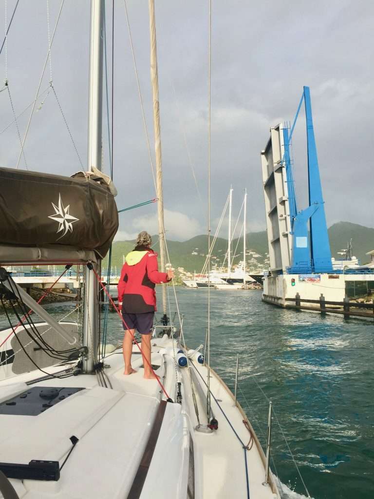
You can freely pass from one part to the other without having to worry about passport control – the whole island is one duty free shopping area. We anchored in Simpson Bay on the Dutch side and dinghied in to pay for a seven day anchorage in the sheltered lagoon, as well as going through the drawbridge giving access to the lagoon. Every type ofmarine service is available in Simpson Bay lagoon and we took the opportunity to stock up with fuel and oil filters, oil and other parts. I also taught Michelle how to do the oil change and filter replacements to earn her keep for the future.
Entering the lagoon.
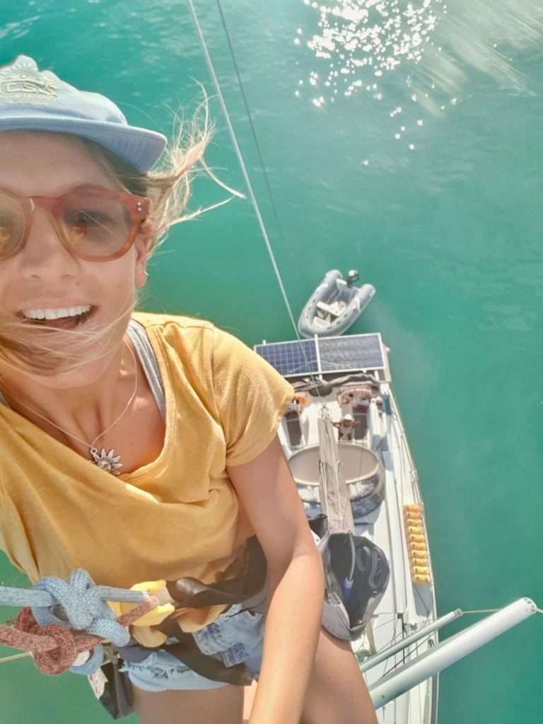
Michelle doing maintenance work on the mast.
Our neighbour on the lagoon.
Annie supporting the informal sector.
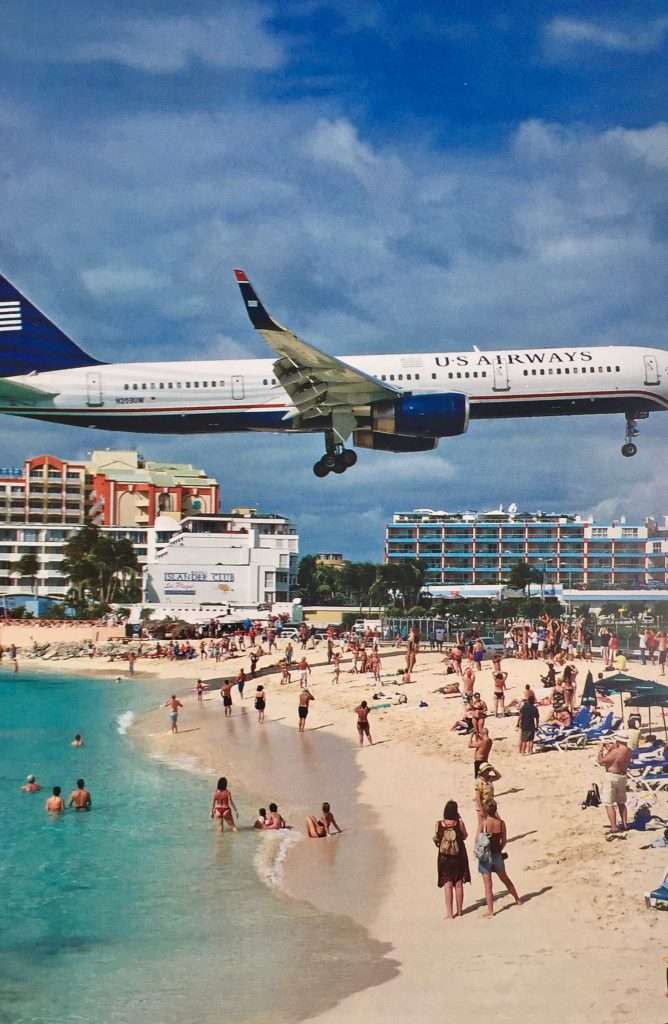
Michelle had to catch a flight from the Princess Juliana airport, located on the spit between the lagoon and the sea. This airport provides a lot of entertainment for tourists, with planes coming in to land and a nuisance for yachts in the lagoon, with planes barely missing their masts on take off. See video below:
A close up.
We took a bus trip to Phillipsburg the capital on the Dutch side, for a walk about and a lunch that was most enjoyable.
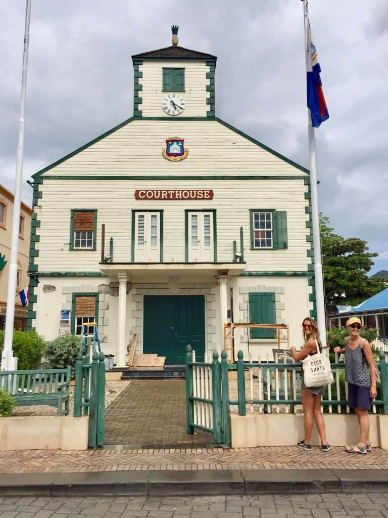
Phillipsburg courthouse.
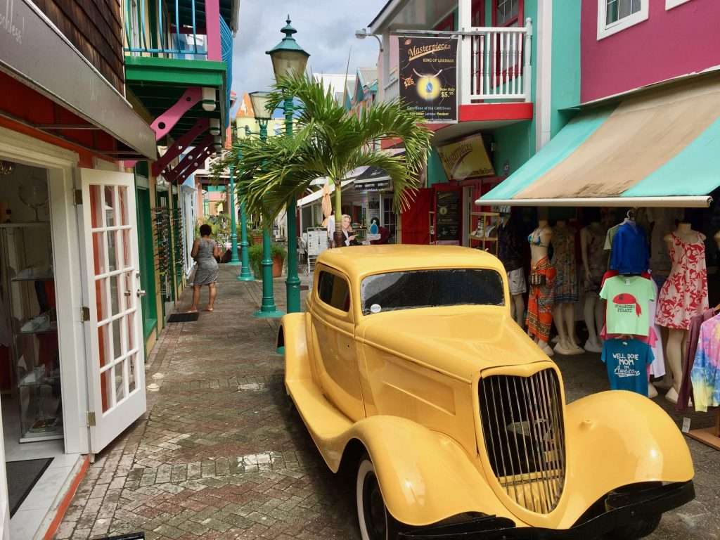
Phillipsburg street.
Our lunch venue.
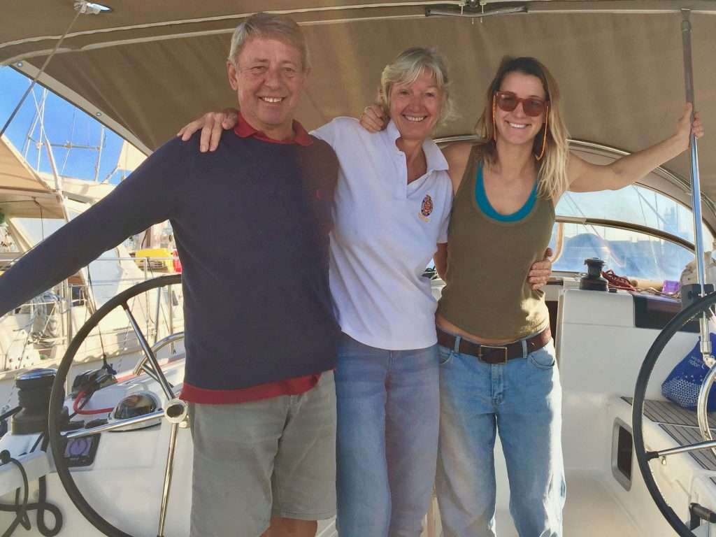
We had a farewell dinner for Michelle at Lagoonies before her departure on the 28th January. She was flying back to Sydney via Fort Lauderdale and LA, to start her new job with the UN in Papua New Guinea, after orientation and training in Melbourne. She had been positioning herself for this posting for the last six months. We wish her well and are grateful for her crewing with us on the Atlantic crossing.
Dinner at Lagoonies.
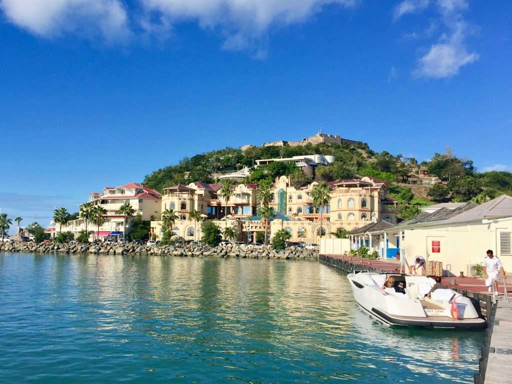
After leaving the lagoon on the 30th, we sailed north to Marigot Bay on the French side. This is a beautiful anchorage, sheltered, with clear water.
Beautiful beaches.
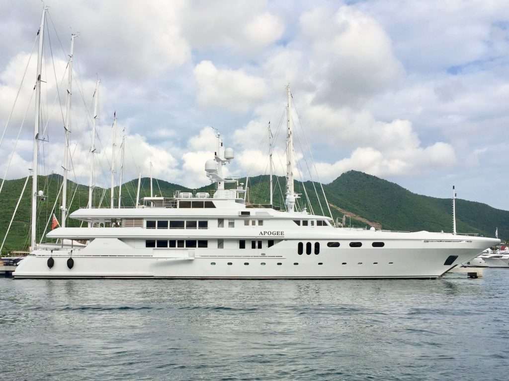
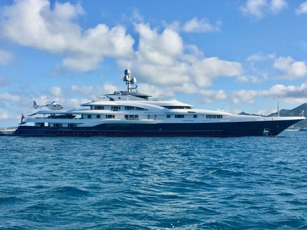
We saw some big motor yachts on the French Riviera, but they pale against some of the monster cruising boats of the Americans in these waters.
Too big to get into St Maarten’s lagoon.
I may not be as big, but look at my helicopter. (My boss has to get there fast and then take it slow)
Marigot harbour.
We explored the French side and met some other yachties at anchor before deciding to head south to St Kitts and Nevis on the 4th of February.
Jan and Jane from Canada having us for drinks on their Jeanneau SO469.
We decided to give Anguila to the north a miss, because like most yachties, we find the cruising tax of USD 100/day a bit much. Our other idea of sailing to the British Virgin Islands to the north west, was also dropped, after numerous warnings from other cruisers that the BVI’s were charter boat central, with all its hazards. The plan is to work our way slowly south to Trinidad.
The winds in the Mediterranean can be either very little or too much, but here in the Caribbean, the easterly trade wind blows constantly at this time of the year. A pleasant 16 – 18 knot easterly, allowed us a leisurely 52 nm sail at an average SOG of 6 knots to the North west corner of St Kitts (contraction from St Cristopher), to anchor off Sandy Point town. We passed Saba Island and St Eustatius (contraction is Statia), as these islands are steep to, with limited anchorages.
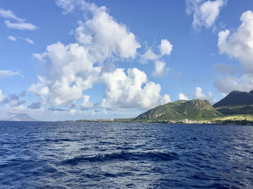
North west corner of St Kitts – St Eustatius on the horizon.
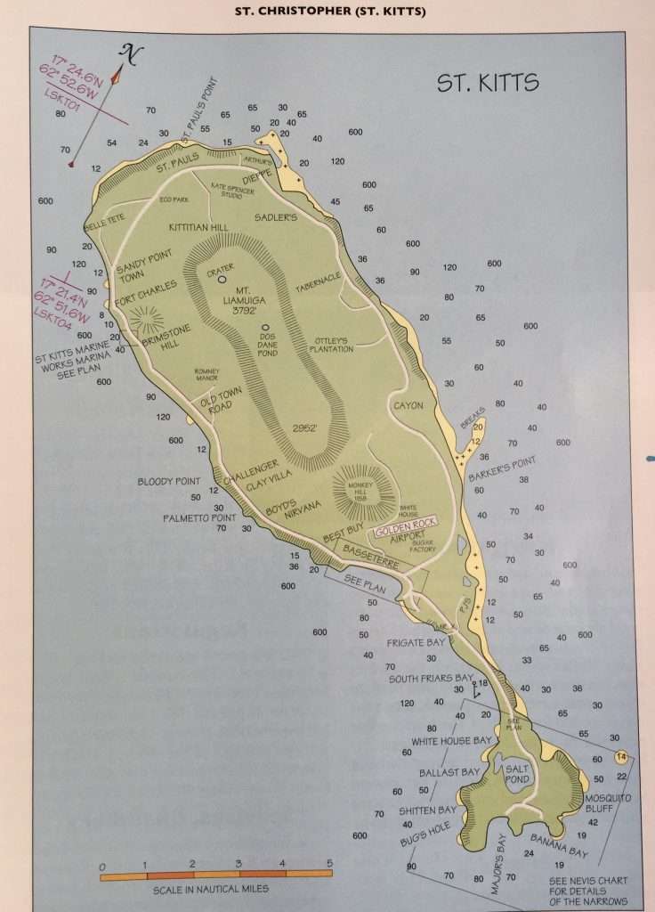
St Kitts map.
St. Kitts and Nevis are part of the same two-island country. Largely ex sugar plantation islands, they reached their peak at the height of the sugar trade, an enormously profitable commerce that at the time, was central to the economy of the British Empire. Basseterre is the capital of St. Kitts. The small sister island of St. Kitts, Nevis, resembles her larger sister in most ways. The capital, Charlestown, is located on the lee side of the island at Gallows Bay.
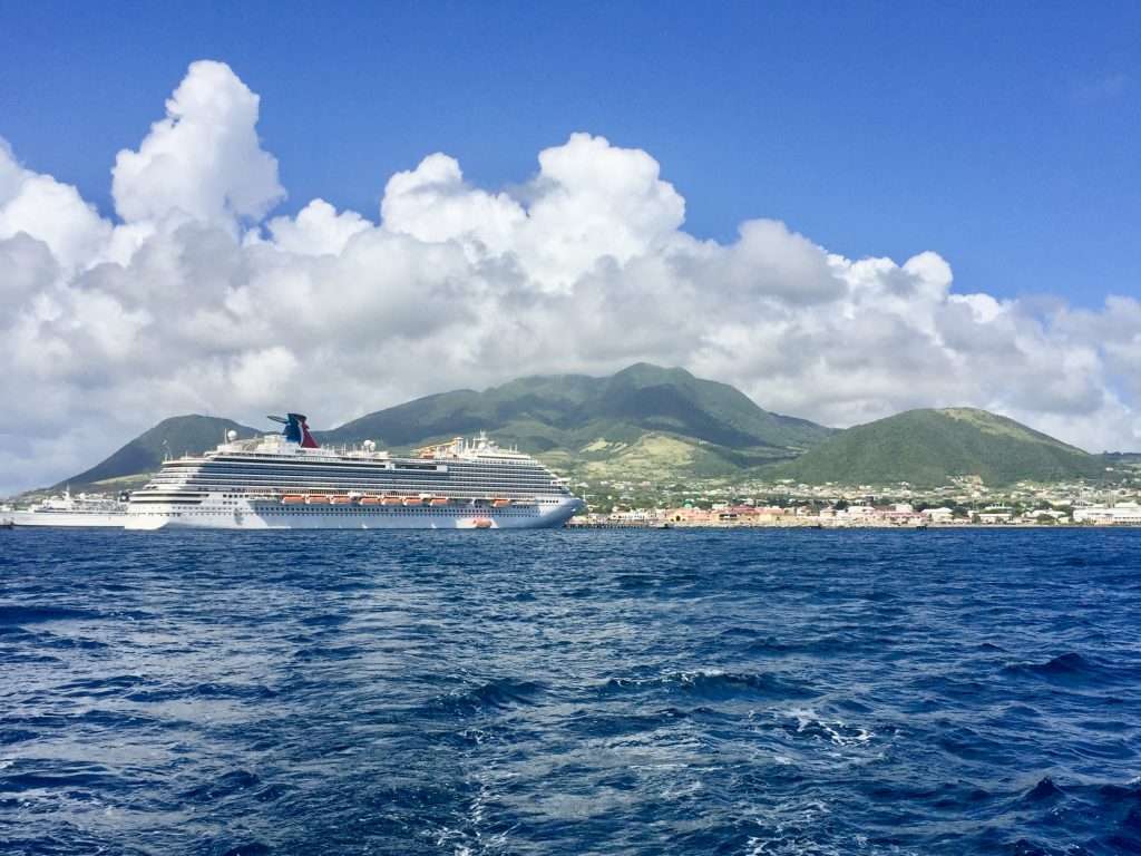
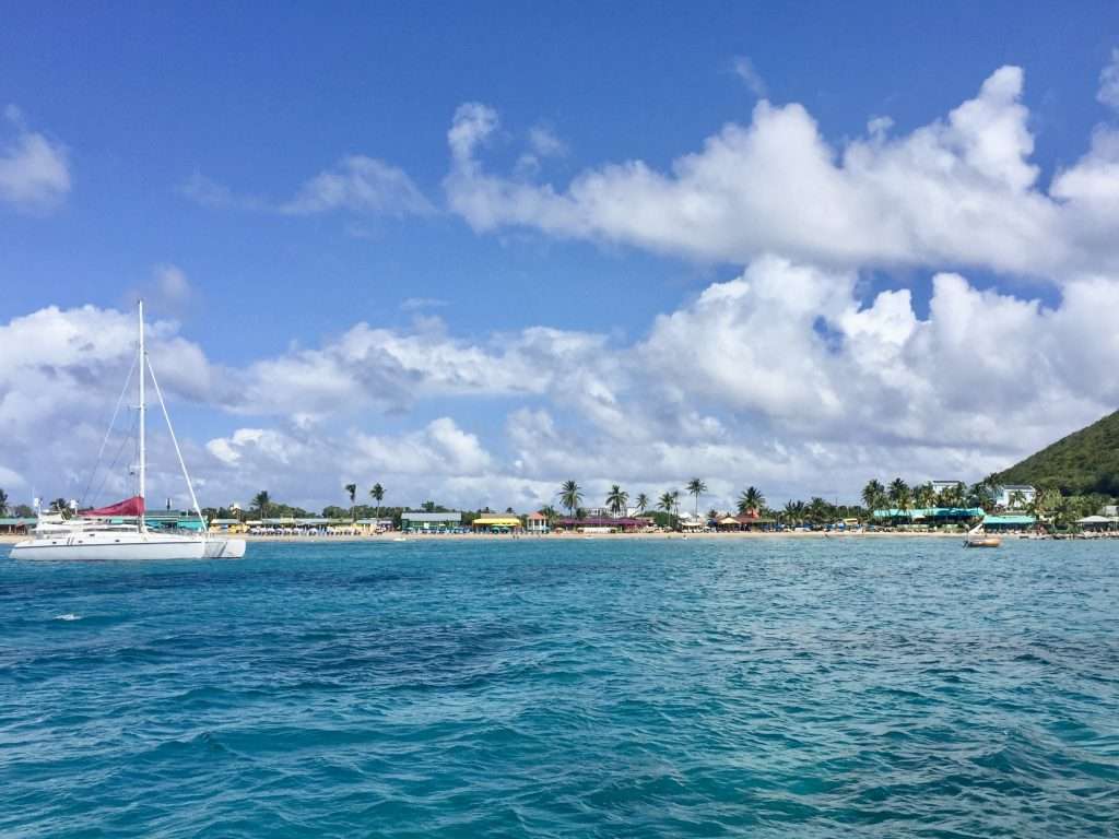
After a sleepless night due to the swell at anchor, we sailed to Basseterre the next morning and anchored in the bay next to some cruise ships for a cup of coffee. The town looked a bit busy with cruise liner passengers, so after an hour we continued south, to anchor in Frigate Bay – quite pretty with crystal clear water. Overnight the wind picked up to 25 knots, gusting 35. Looking at the weather forecast the following morning, we realised the strong gusts were going to be around until Monday.
Cruise liners in Basseterre.
Frigate Bay.
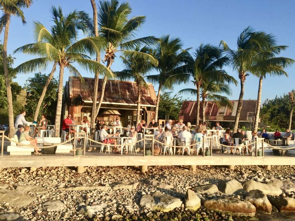
So, we motored south to the sheltered White House Bay anchorage, to chill out for a few days and do some walks in beautiful green hilly surrounds. Annie made sure we got our exercise, close to the point of me collapsing. Our first evening was spent at the old salt works on the beach, now named Salt Plage, taking in the sunset and enjoying a lovely meal and wine.
The deck at Salt Plage restaurant.
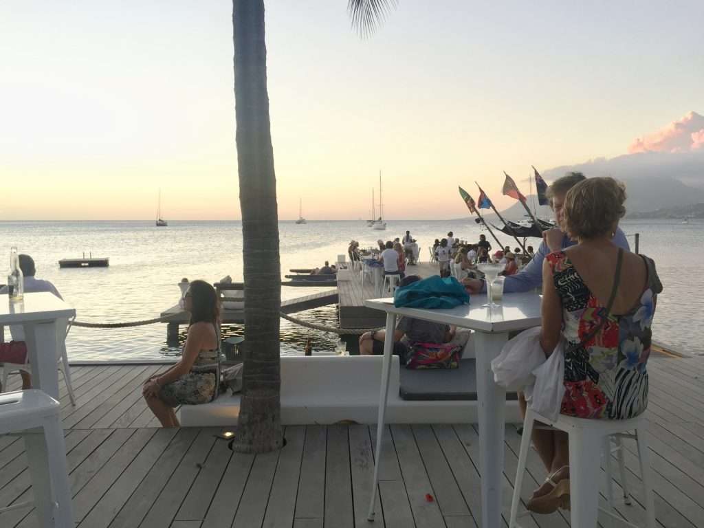
Sunset – looking out to Esprit from our perch.
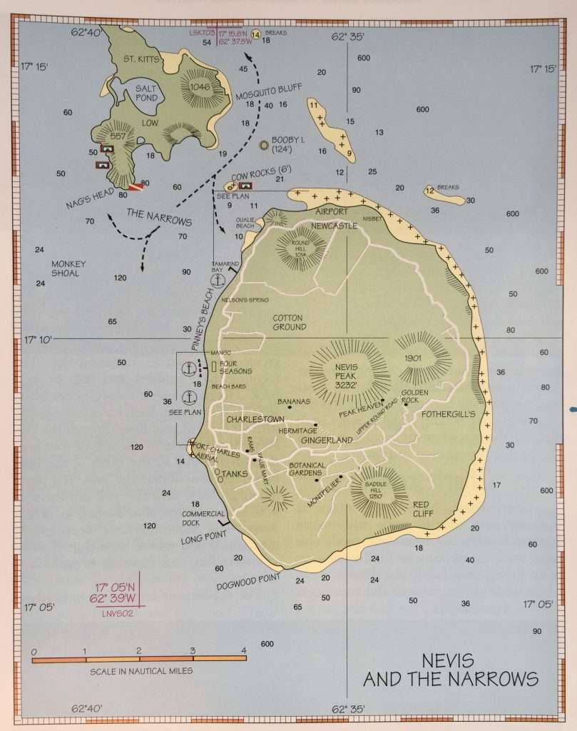
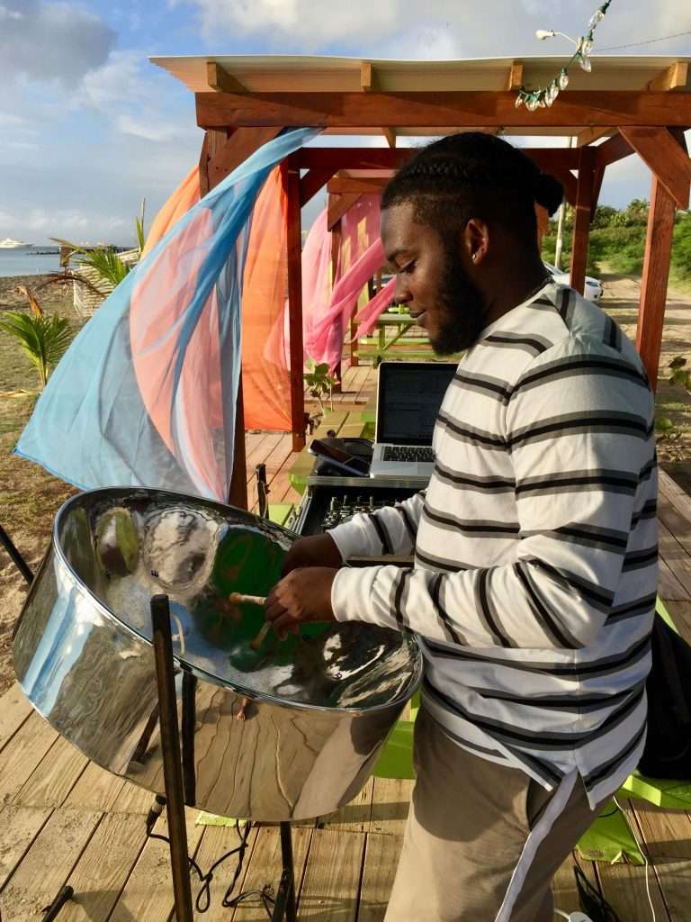
Two days later we sailed the short crossing to Nevis to anchor at beautiful Pinney’s Beach where after a walk, we ended up at a beach bar with a lively crowd of sailors enjoying drinks while listening to a talented steel drum player.
Nevis Map.
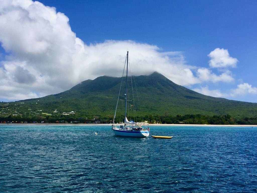
Pinney’s Beach with Nevis peak in the background covered in clouds.
Talented youngster.
Jack, the diminutive, friendly and hilarious barlady.
Happy patrons.
The next day at 10 am, we set of for Montserrat, 33 nm to the south. The wind picked up to a 25 knot south easterly, so we ended up west of Montserrat, having to motor back to Little Bay for 2 hours and adding 5 miles to the distance. Montserrat’s first European settlers were Irish Catholics fleeing persecution in the 17 th century. It is weird that Montserrat, a British colony, celebrates St. Patrick’s Day as a public holiday, not just for a day, but for a week.
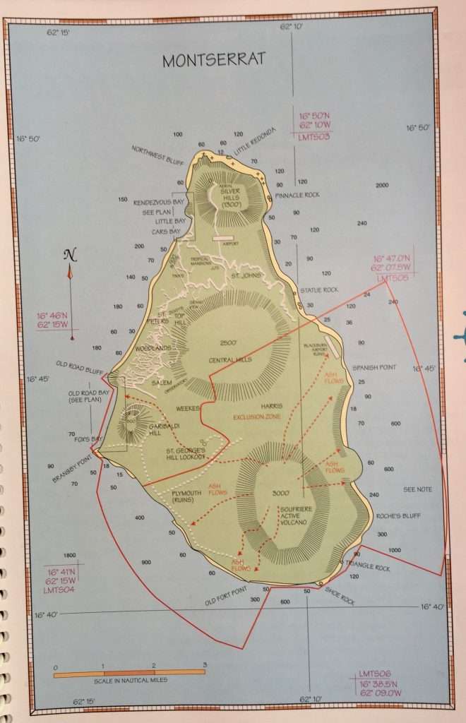
Montserrat map – volcanic exclusion marked in red.
In 1995, the population was around 11,000 people, when the Soufriere Hills volcano first erupted. Major eruptions in 1997 led to the evacuation and eventual destruction of the capital, Plymouth. There followed an exodus of people. Then in 2010, the biggest ever eruption occurred and Soufriere is still smoking to this day. It is not easy living with a volcano and as a result the population has shrunk to 2,500 people and tourism has taken a huge hit.
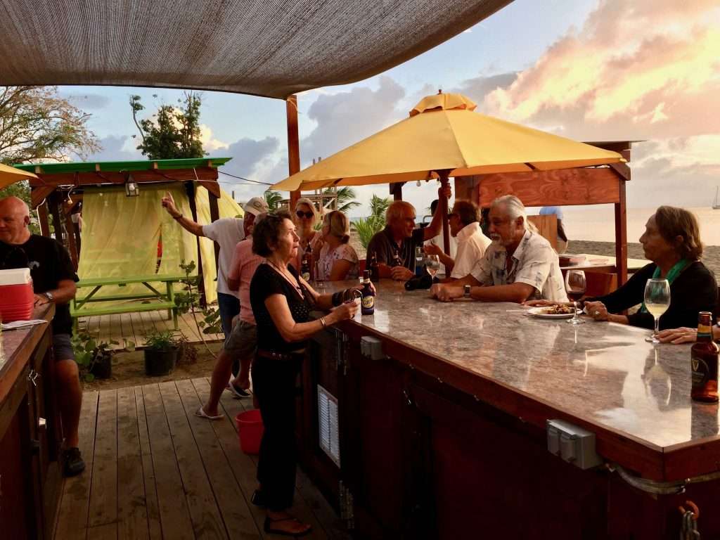
One of the very few well maintained bars in Little Bay.
Montserrat is therefore bypassed by many cruising sailors. The general consensus is that it is not worth the time to make a stop given that more than half the island is off limits due to the volcano. In addition, Montserrat does not have any really protected deep bays that can serve as good anchorages. We spent two days here, but was disappointed in the state of disrepair of the island.
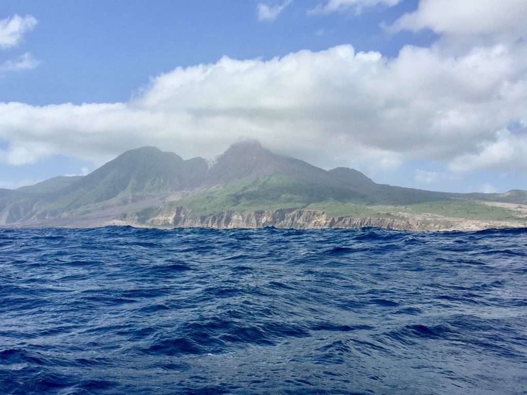
Sailing past the volcano – note the lava streams and the active white steam vent at the top left of Soufriere.
We had a robust and fast 40 nm sail from Montserrat to Guadeloupe, where we anchored on the north west side of the island in the bay at Deshaies, in a howling 30 knot southeaster. The wind persisted for the next 24 hours forcing us to stay on board, relax and read. Guadeloupe is a large island relative to the size of the other islands in the Lesser Antilles chain.
It is a French Island in the shape of a butterfly. It has a lovely vibe, on which we will report in our next post. Until then, cheers!
Peter and Anne Babbidge seeing us off. (Peter and I were born at the Booth Memorial in Cape Town!)
Esprit’s crew ready to leave.
We cast off from the marina in Las Palmas on the 18th December with the prospect of little wind for the first 24 hours, but hopefully a calmer sea than the swells that had been rolling in from the north-west for the previous two days. There was some wind, which allowed us to motor sail for the first 24 hours, covering 140 nm. The next day was frustrating as we motored on, with hardly any wind – the only highlight being the numerous dolphins occasionally swimming next to the boat.
Bye bye Las Palmas.
Before departure, we invited some friends intending to sail across the Atlantic at roughly the same time, to set up a communicating network via Iridium satellite email and SMS. This enabled us to exchange our daily positions, wind and sea state and to be able to assist one another in case of problems. The group, apart from us, included Robbie and Bev from the USA on Mersoleil, Sam and Nicole from Australia on Beaver, Jonny and Tina from New Zealand on Paikea and Peter and Anne from the UK on Sacre Bleu.
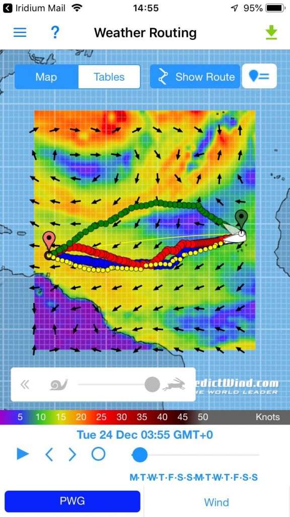
A low forming ahead of us – the Predictwind modelling suggests passing to the south by the 24th.
On day 3 the easterly picked up and we were able to sail for 48 hours, before we had to start the motor to power through the confused 3-4 m sea. By day 5 we were still motor sailing through confused seas and were thinking of gybing to sail west, as we were down at latitude 21 deg north. The trade winds are supposed to get going by 20 deg north. The GRIB files downloaded that morning, by satellite from Predictwind, however, indicated a low pressure cell forming on our planned route, which could see us becalmed for 3 days. I also noticed a continuous squeaking sound coming from the stern.
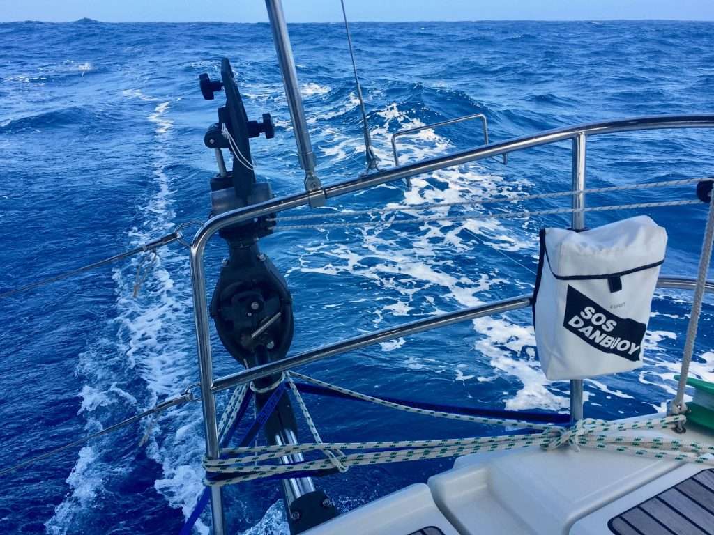
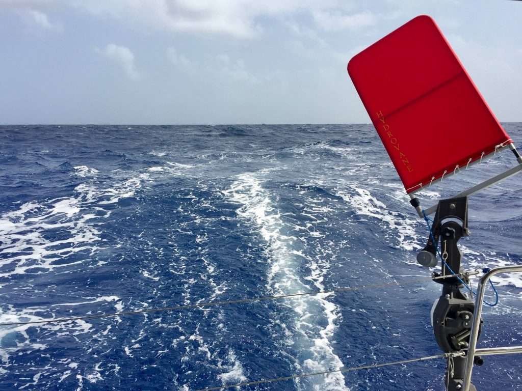
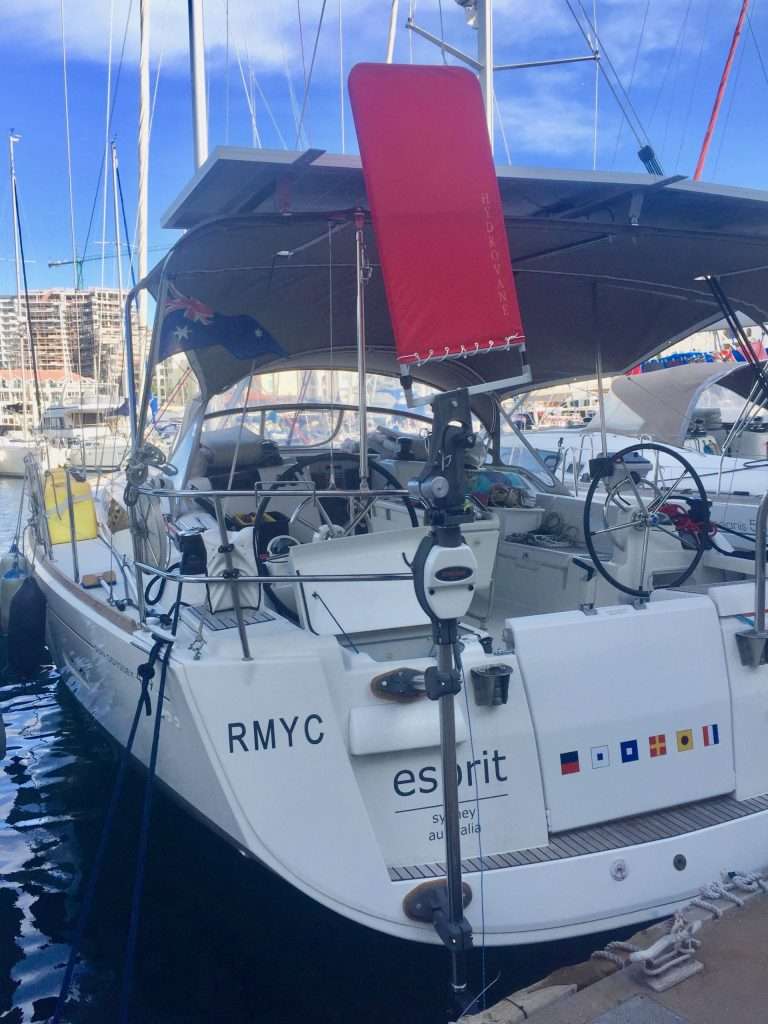
The Hydrovane lashed to the pushpit.
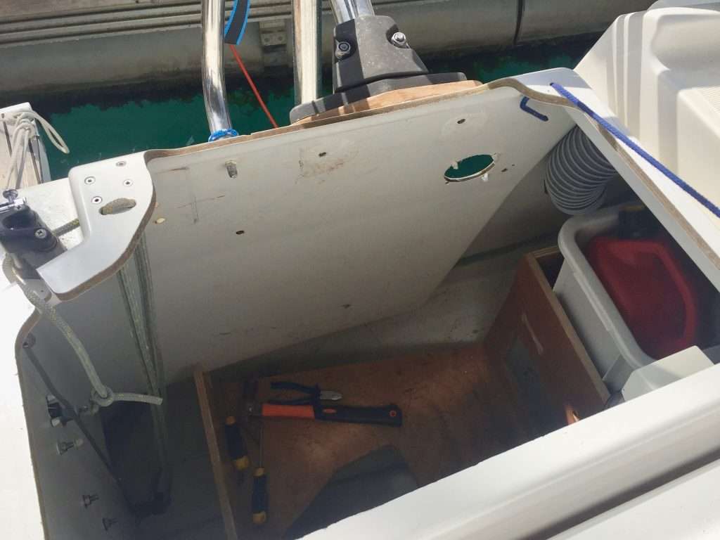
This turned out to be the fibreglass gelcoat cracking around the top strut fixing of the Hydrovane! Closer inspection revealed bending of the stern panel, so I quickly lashed the Hydrovane back to the s/s pushpit before it decided to part ways with the boat. That focussed our minds on getting to Mindelo on Sao Vicente island in the Cape Verde Islands, 265 nm to the South, to source bigger backing plates, or to reinforce the stern panel with timber or fibreglass from inside the rear locker.
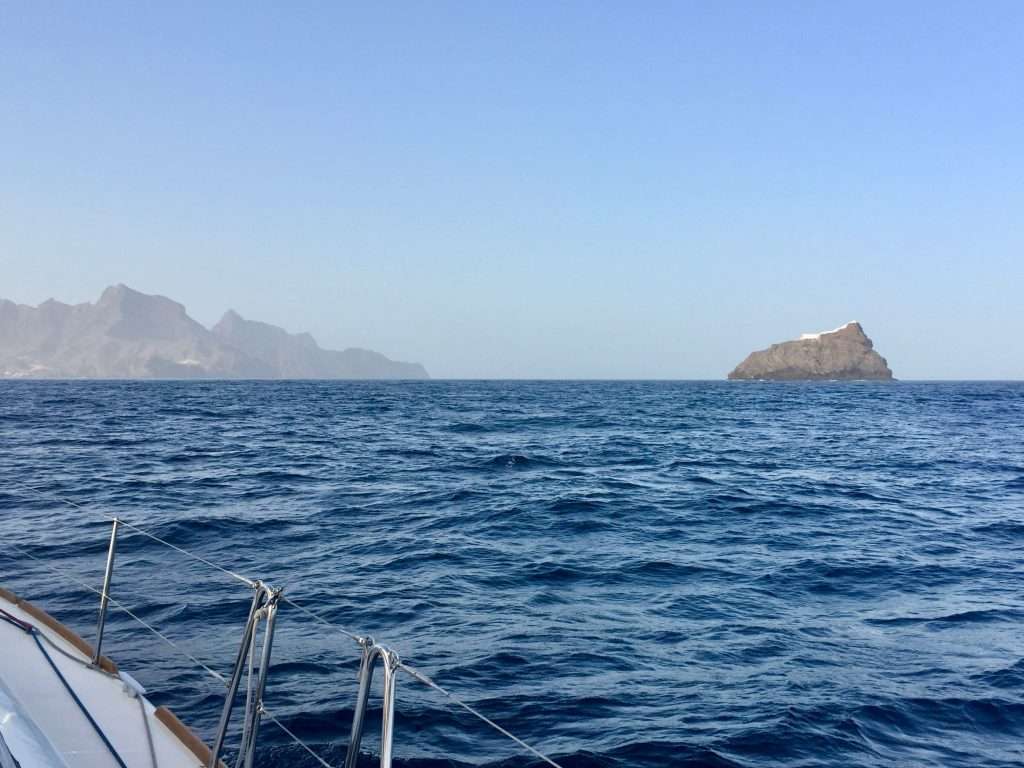
Approaching Mindelo harbour.
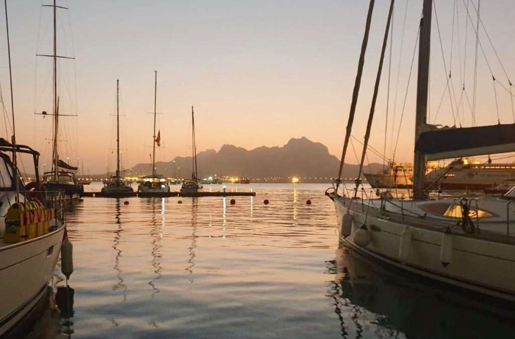
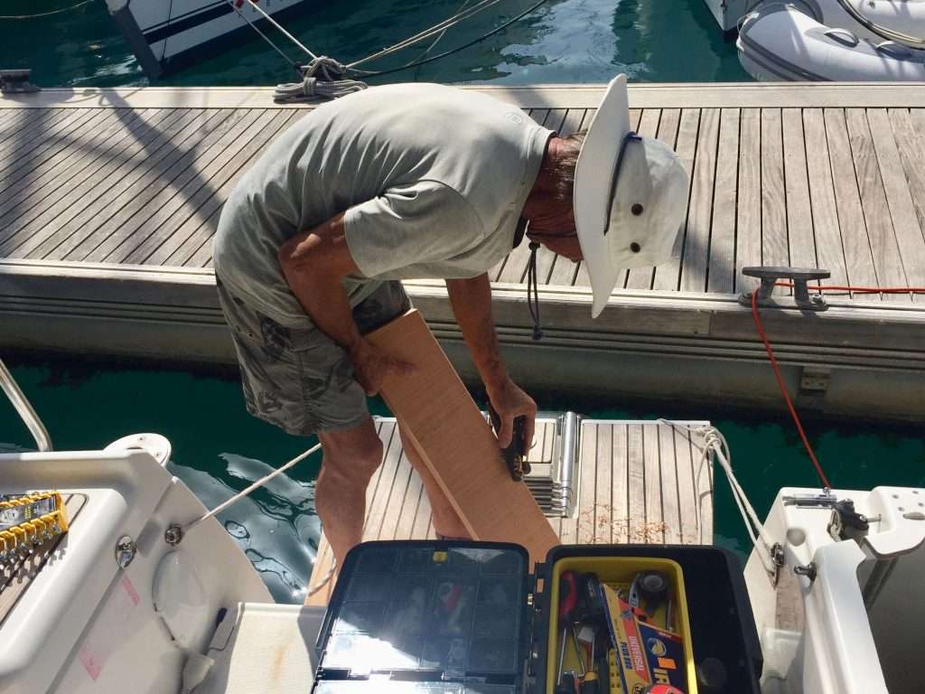
Arriving at Mindelo marina around 09:00 on the 24thDecember, we tied up opposite Paikea, who had arrived late the previous afternoon. We checked in with the marina and then walked to the customs and immigration police offices to complete the formalities. Jonny kindly offered to help with the required reinforcing of Esprit’s stern panel, so we bought threaded s/s rod, nuts and washers, before catching a cab to a timber yard outside town. Jonny, a carpenter and builder in his working days, selected a dense madeira plank of 150 x 50 x 3,000 – that’s 6 x 2 inches x nearly 10 feet (no cutting at this yard – take it or leave it). We got a lift on a ute, back to the marina for $3.
My helpful Kiwi friend – Jonny Patrick.
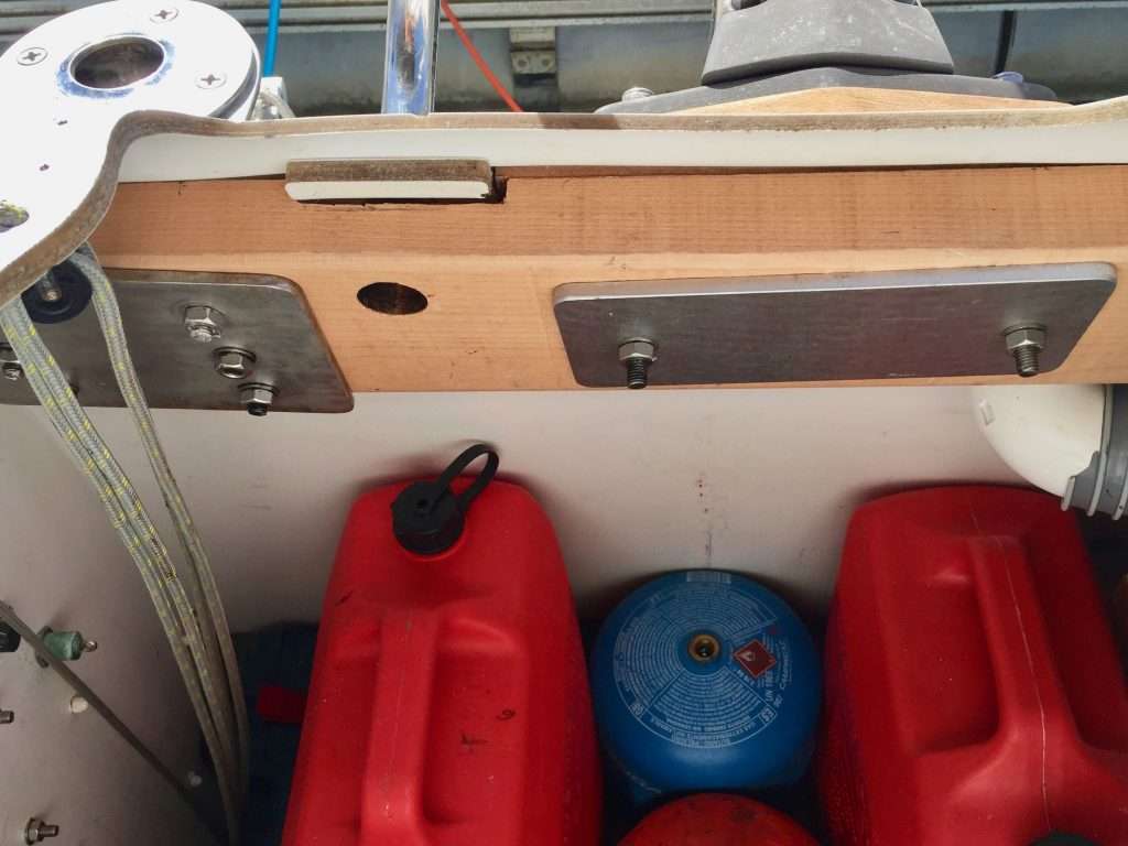
I was planning to do the reinforcing work after Christmas and rather ease into the Season’s festivities, but Jonny said: “Let’s do it – there is no time like the present”. So, under his guidance, we tackled the work and finished the job by 7pm. Wonderful to be the offsider to a guy that is so practical. I think the Hydrovane will now last the distance back to Australia – you can judge for yourself from the photos. I now have a lot of spare timber on board!
The transom panel stripped of all plates and fixings
Jonny shaping the new backing beam.
The reinforcing completed.
Christmas Day was very relaxed, starting with a champagne breakfast at 10:00, tidying up the boat and having a Nanna nap before a fish BBQ dinner on Esprit. The 26th December was a recovery day, with small jobs, topping up supplies and then, after Sacre Bleu arrived at 4pm, another extended sundowner evening.
Christmas morning champers – Jonny, Annie, Tina and Dirk.
Mindelo marina’s social hub, the floating bar.
We enjoyed the beer and the company here.
Could this structure be a bit over the top? An American boat in the marina.
After three days, on Friday the 27th, we checked out with Customs and Immigration, filled up the diesel tank and at 2pm set off for the remaining 2,250 nm Atlantic crossing. Soon, we had the easterlies on the rear quarter and were using Harry the Hydrovane to do the steering.
Our last day at the marina in Mindelo.
Harry the Hydrovane at sunrise.
On day 9 at sea from Las Palmas, Annie caught a medium sized yellow fin tuna for dinner and the following morning, another huge tuna, which we released, as it was too big for us to store in the freezer.
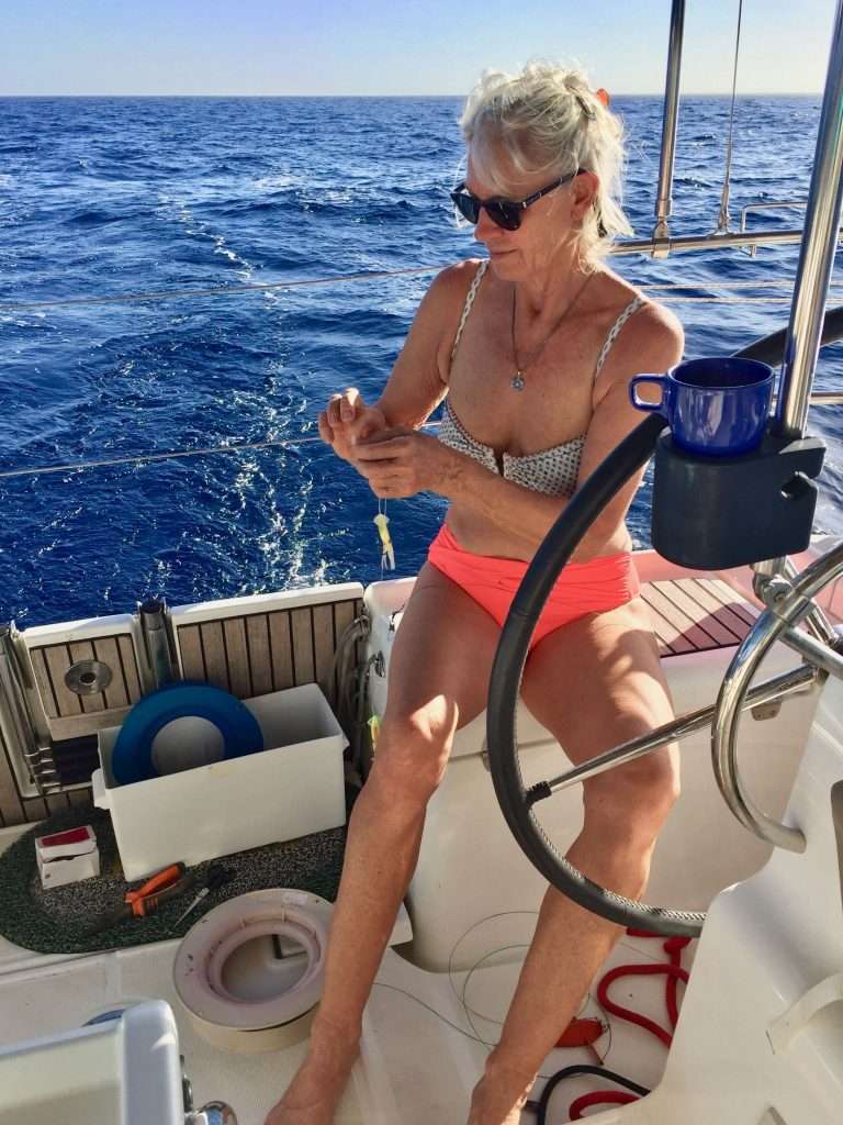
Annie selecting her fishing lures.
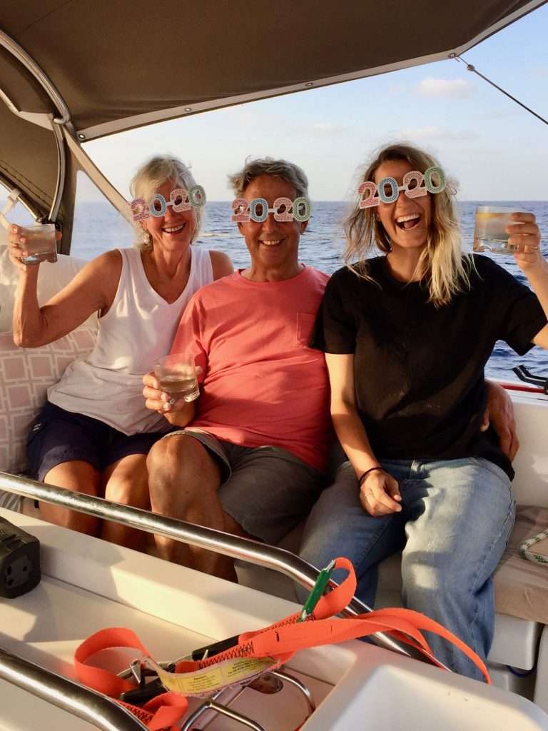
Before we knew it, the 1st of January 2020 arrived, which also meant Annie’s 65th birthday. This was celebrated in style with a champagne lunch. It was our day 12 on the ocean, excluding the unplanned 3 day stop at Mindelo. We had sailed 1,668 nm since leaving Las Palmas, with another 1,432 nm to go, before reaching Antigua in the Caribbean. Our going was good in 1-2m seas, although we could have done with a bit more wind, than the 9-12 knots of easterlies we were experiencing. With a poled out jib, the Hydrovane did its job and Esprit tracked well.
Happy birthday Annie and welcome 2020!
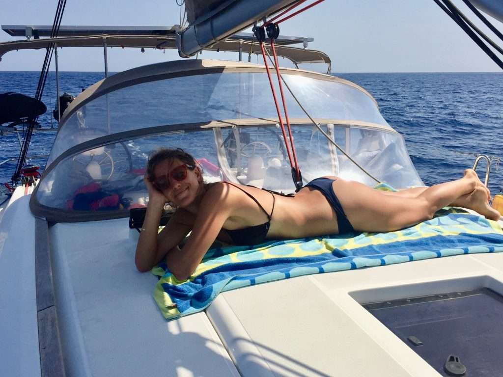
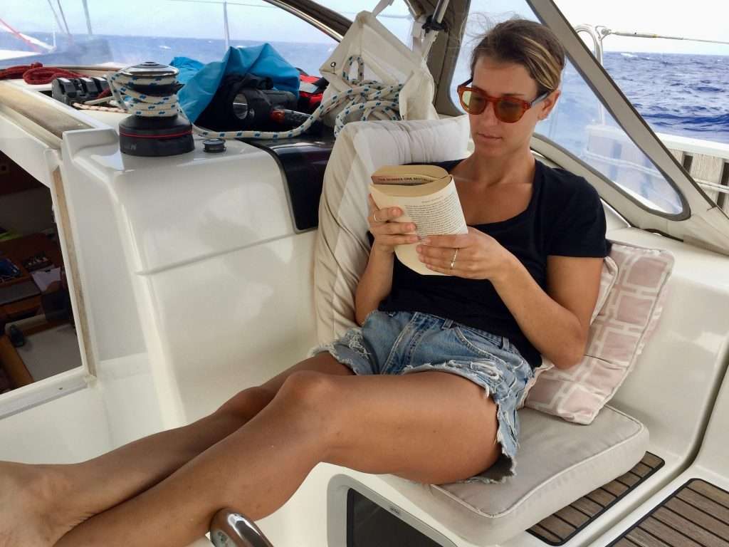
Michelle enjoying the sun.
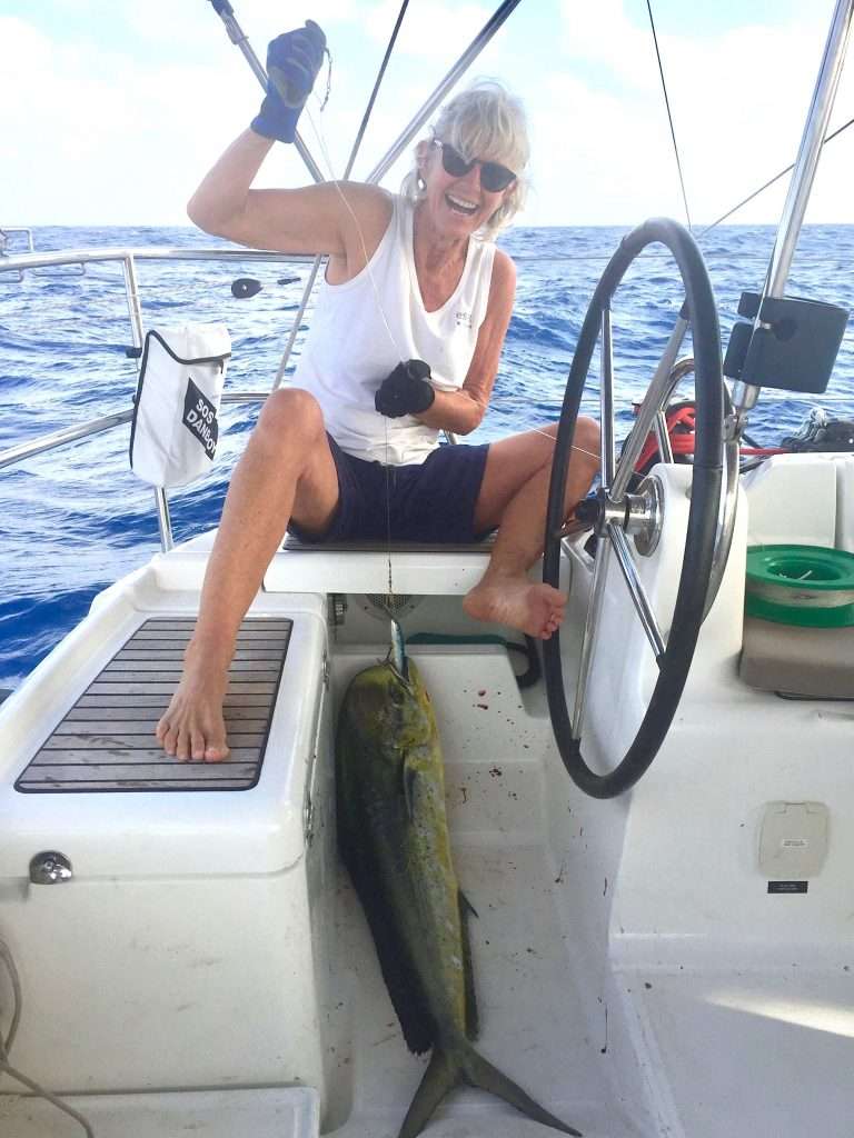
Day 13 and we reset all the instruments and timing devices through two time zones, as we were on the same longitude as Sao Paolo in Brazil. Our wind GRIB files downloaded at 10:00 showed a low moving down from the N-W, into our path to Antigua. This would mean no wind on Saturday, so we changed course to the S-W, to try and pass the low to the South. Shortly afterwards, Annie caught a 1 m long Mahi Mahi (Dorado). Along with Spanish Mackerel, this is our favourite fish –no scales and no bones when filleted from the spine. Grilled fish, potatoes and salad for dinner.
Annie and her Mahi Mahi catch.
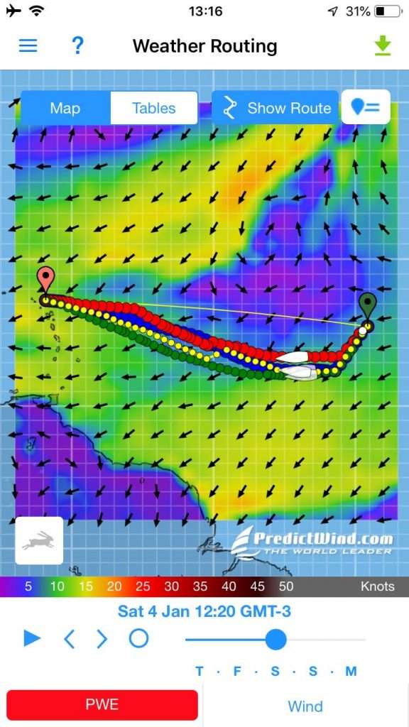
After 24 hours, we reached 14 deg north on Friday the 3rd and changed course to the N-W, to head for Antigua, now 1,200 nm away. Day 15: We realised we didn’t go far enough to the South, when the wind died and we had to start motoring. At this point, we were discussing the fact that we hadn’t seen another yacht in 15 days at sea, apart from those in the marina in Mindelo, Cape Verde, or anchored outside. Yachts were mustering in Las Palmas and Mindelo for the right weather window to cross the North Atlantic and between the two anchorages, were departing at a rate of 10 – 12 yachts per day. It gives you an idea how big the oceans are.
More lack of wind problems due to the low (in blue)
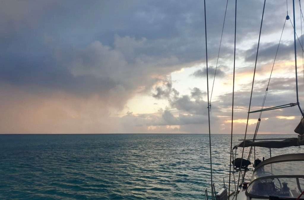
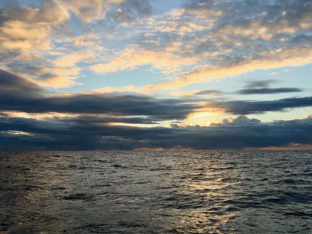
Just after midnight on day 16, we were smacked by a 30 knot rain storm, so dense that the air was white with spray in the half moon. This lasted for 30 minutes and I came off watch thoroughly drenched. Annie on her watch, had a replay at 05:00, but the storm was receding as the sun was rising. After the fun and games, the wind was down to a pathetic 4 kn again, so we continued motoring in the lumpy sea. The highlight of Sunday morning was breaking through the 1,000 nm remaining distance to Antigua.
The storm receding at sunrise.
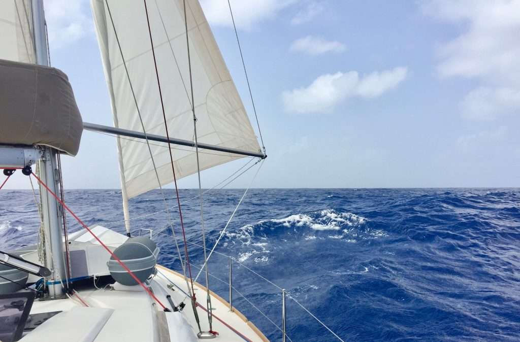
On Wednesday the 8th January (Day 19), the wind materialised at last. We had a decent 15 – 18 knot N-E wind on the stern, allowing us to do a good speed with one reef in the main and 50% of the jib poled out. Harry the Hydrovane now proved his mettle – kept course in 3-5 m swells, surfing at up to 12 knots down the face of some swells, without using power, or the constant whine of the hydraulic pump and hydraulic ram on the quadrant, that Ben & Gerry the autopilot generates.
Reefed main and 50% jib poled out.
Harry doing the job despite the growing swells.
Antigua was now 490 nm away and we could almost hear the sound of steel drums. We were disappointed with the lack of wind on this crossing, originally we were planning to cover the distance in 18 days, it now looked more like 21 days – but that’s the nature of wind! As MetBob in NZ says in his disclaimer: “Weather is a mix of pattern and chaos.” It also meant that by now, we had used the 200 litres of diesel in the jerry cans!
Michelle on watch.
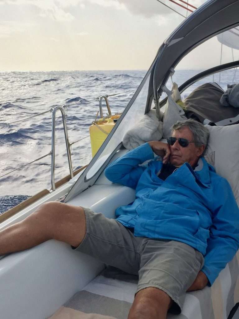
Dirk on watch.
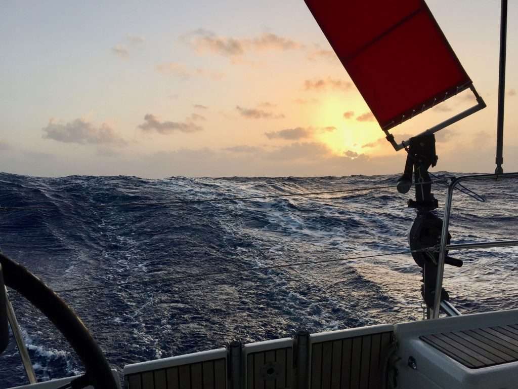
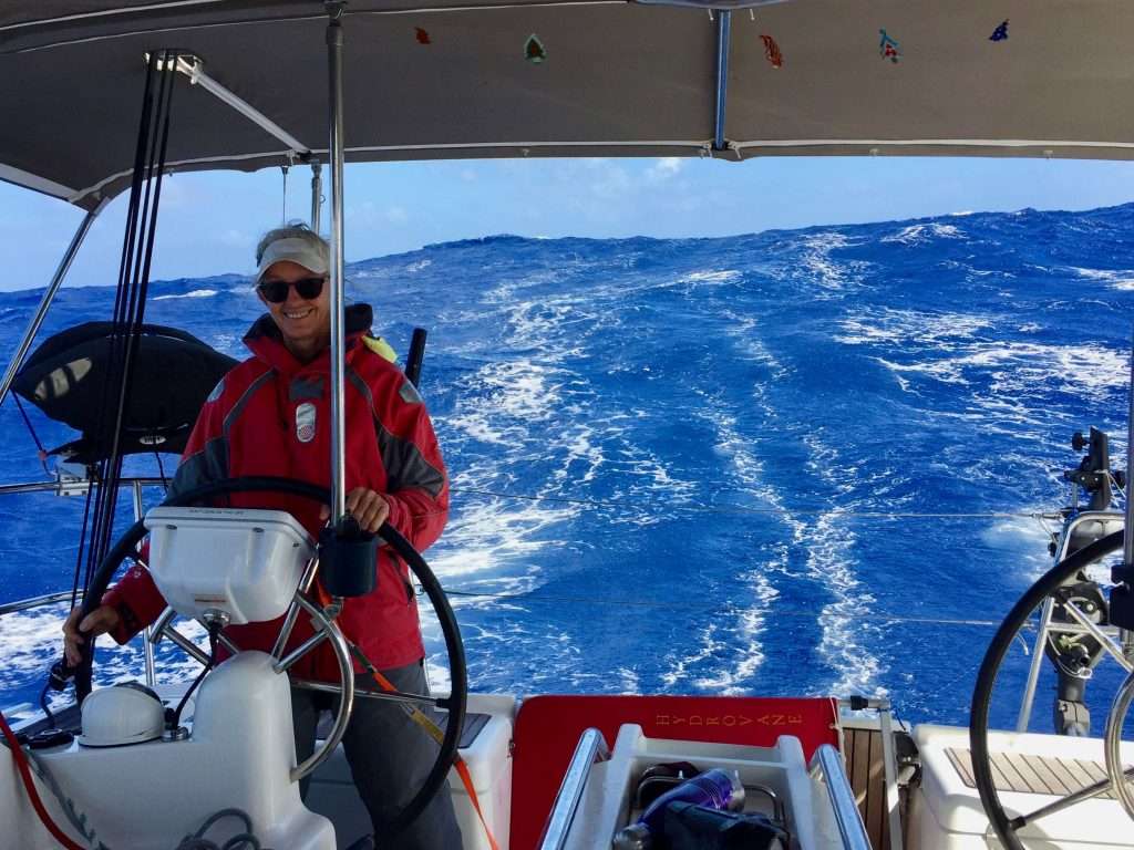
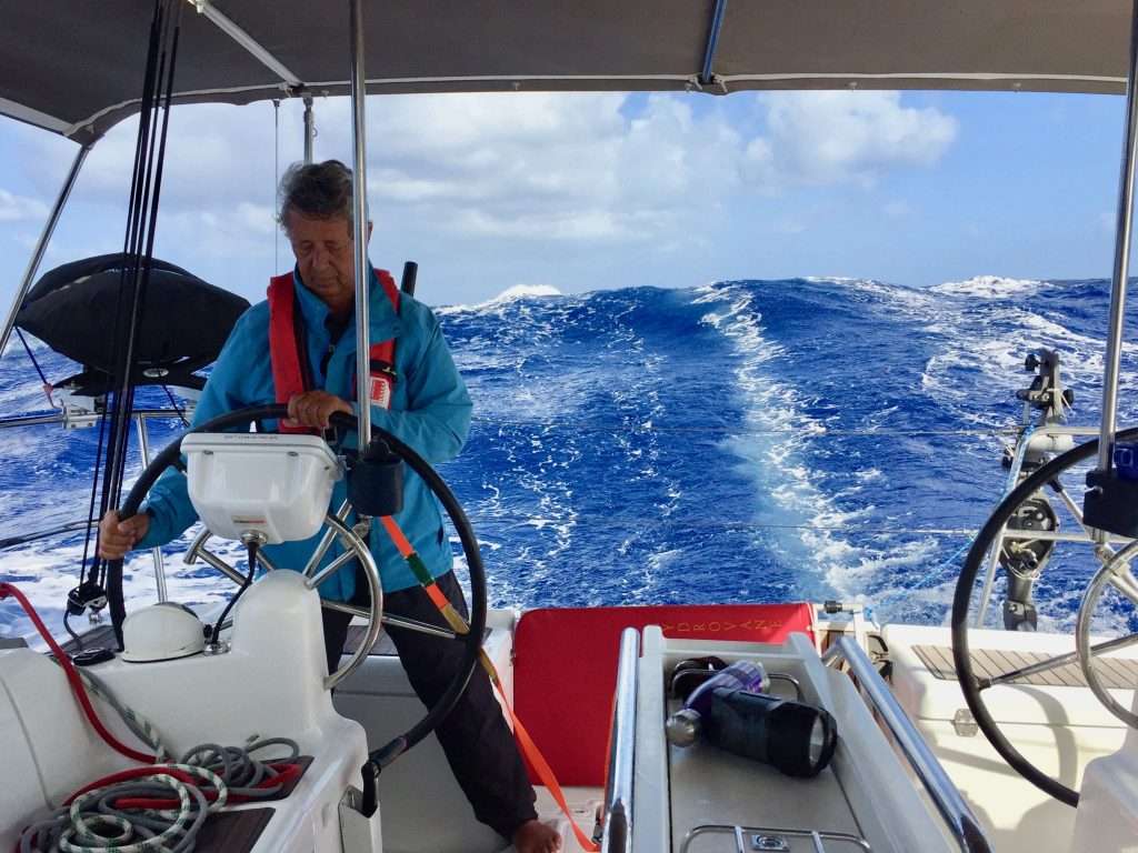
The last two and a half days turned out to be hectic. The wind was constant at 25 knots from the East, gusting up to 35 knots – which is not a problem for us, as we reef accordingly. The problem was the cross swell from the North east building to between 3 and 5 metres. Neither the Hydrovane, nor the autopilot could cope with these conditions and the three of us hand steered for 60 hours in two hour watches. Just to add insult to injury, rain squalls hit us continuously, right up until we sailed into Jolly Harbour in Antigua at 06:00 on Saturday the 11th January 2020.
Harry at his limit.
Annie with a 5 m growler coming up from behind.
Dirk and Esprit surfing down a growler at 15 knots – concentrate and please don’t broach!
We tied up to the harbour wall in Jolly Harbour at 06:45, made some coffee and waited until 9am for the Customs and Immigration offices to open. Once checked in, the marina dinghy came out to lead us to our berth, where we tied up at 10am. Then it was out with the champagne, before going out to lunch.
We have arrived in Antigua!
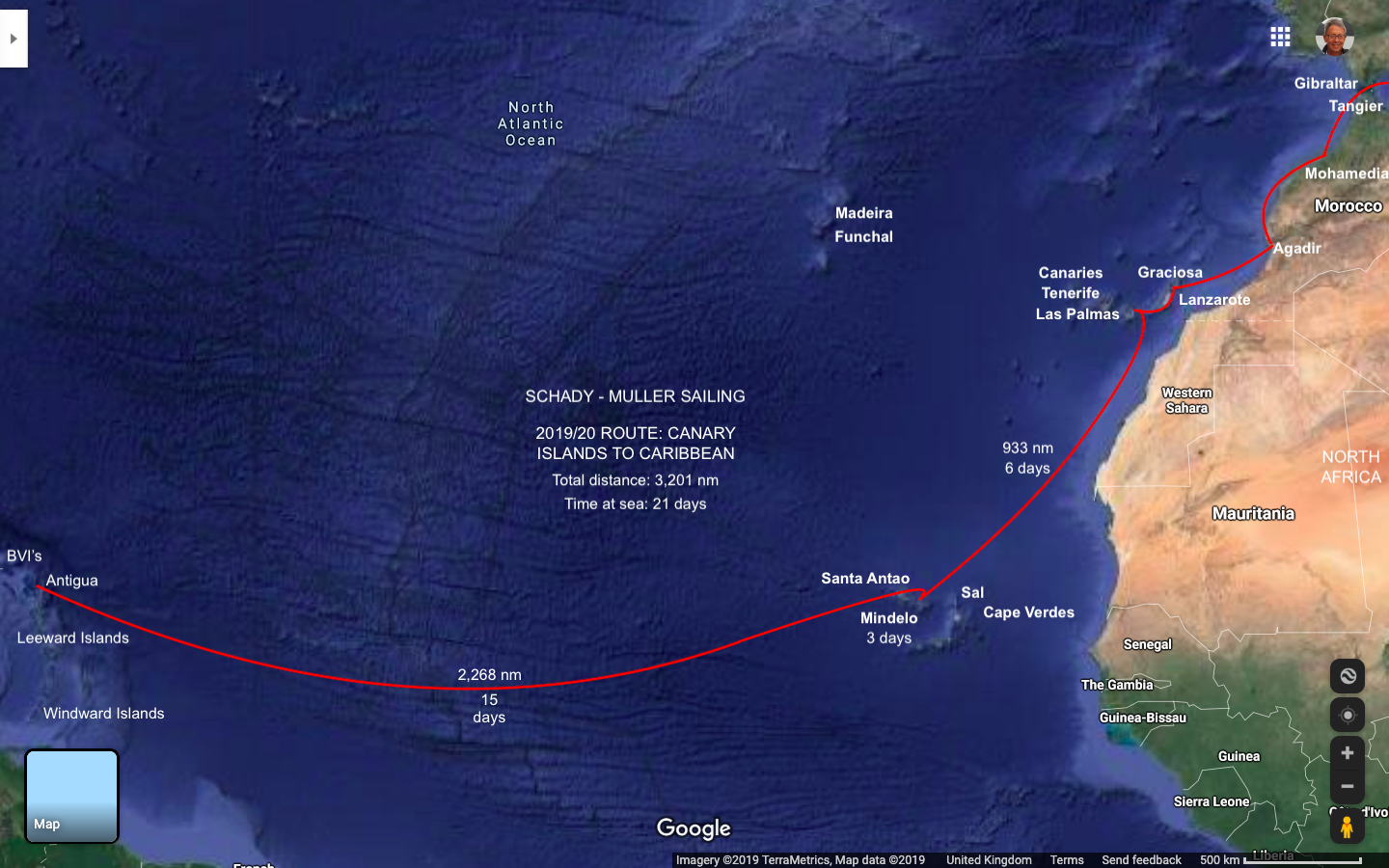
To summarise: The North Atlantic crossing took us 21 days to do the 3,201 nm distance (excluding the unplanned stop of 3 days in Mindelo). It was at times a frustrating experience (lack of wind) and at times an exhausting experience (too much wind and swell), but hey, it’s good to get out of your comfort zone! We got to spend time with Michelle, who we so seldom see – she and us can now tick this crossing off our bucket list. Antigua looks fantastic and we will report on this next time.
The distance from Agadir in Morocco to the Canary Islands is about 220 nm, so if we could average about 6 knots over this distance, we should be able to do the distance in about 37 hours. We arranged with the Moroccan Border Police, to check out at 7am on Monday the 2nd December, in order to have a two day and overnight crossing and arrive in the Canaries before dark the next day. The Police did as arranged, but Customs were fast asleep, so we only left at 8am.
The first 10 hours were quite pleasant with hundreds of dolphins swimming and playing around Esprit, as we sailed away from North Africa. Then the weather turned nasty – either we had made a mistake with the GRIB files we downloaded, or the Predictwind and Windy forecasts were hopelessly wrong. Either way, we fully reefed the mainsail and furled the jib to about 10% as the wind picked up to 40 knots. For the next 20 hours, we had the worst conditions imaginable.
The Gulf of Lion in France previously rated tops in bad weather for us, but this was to put it mildly, sh1t! With swells coming at us from the North west like rows of double storey blocks of flats, combined with squalls of rain and lightning, we only managed alternating one hour watches through the night, sometimes hitting 12 knots surfing down the waves. I was worried about the solar panels and the bimini being blown off, while Annie was worried about us getting injured as we were thrown about the boat. Often a large wave would break over the boat and swamp the cockpit with water.
Daylight came at 8:15am which was a relief, as we could at least see and anticipate the breaking waves. We arrived at La Graciosa Island, north of Lanzarote Island in the Canaries after 31.5 hours, having covered the 220 nm at an average speed of nearly 7 knots/h. It was a relief to be allocated a berth in the small marina to have a hot shower, dinner and a stiff Irish coffee before hitting the bed for a good night’s sleep.
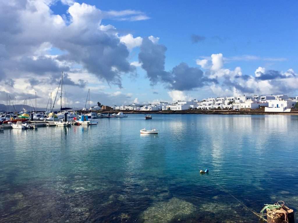
Graciosa harbour.
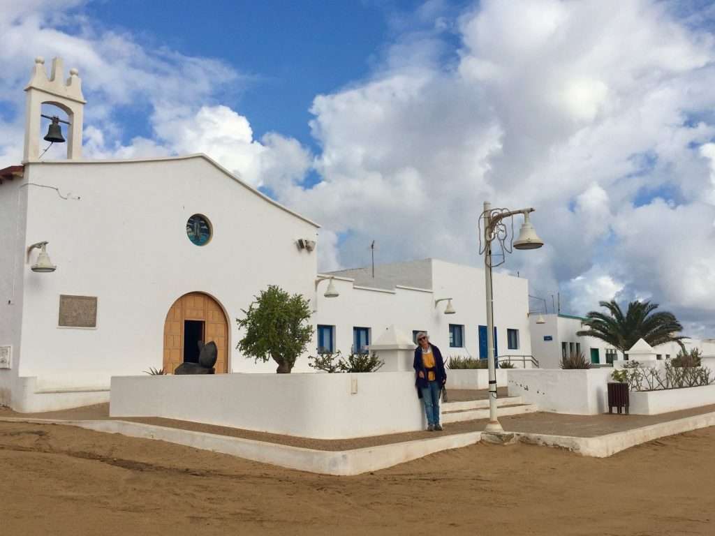
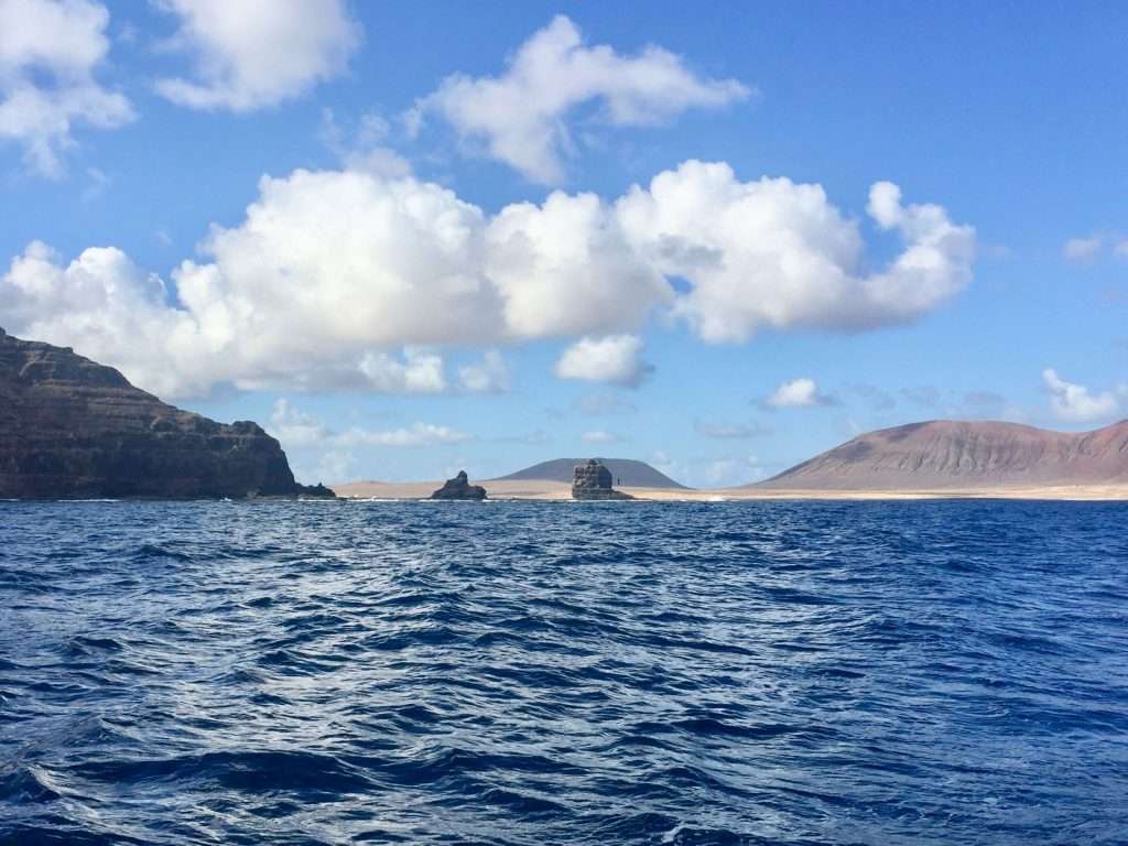
Graciosa is quite a special island, being a protected nature reserve with low key developments and no tarred roads – a bit of a lunar landscape. The sort of place where you could disappear for a week and enjoy the peace and quiet. The day after our arrival, Jonny and Tina on Paikea arrived, having done a long crossing from Gibraltar and missing some of our bad weather. We chilled out for four days, enjoying walks, croissants from an excellent little bakery and coffees on the quay.
Annie in front of the church.
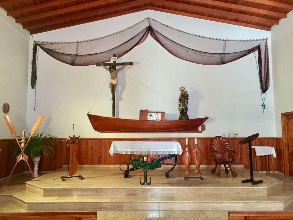
The modest, but imaginative fishermen’s interior.
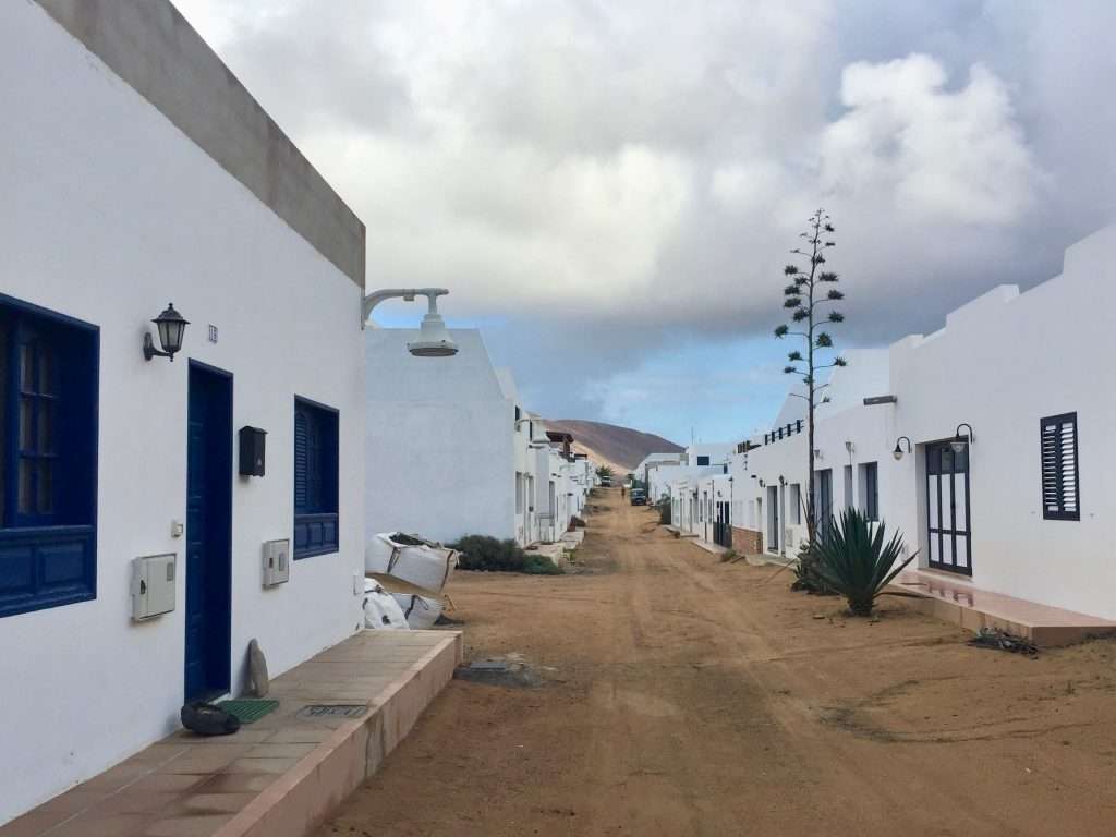
Sandy streets.
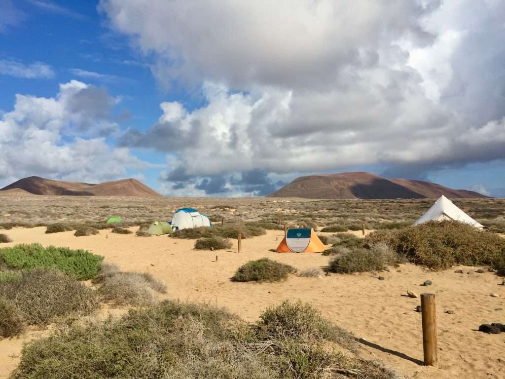
The camp site.
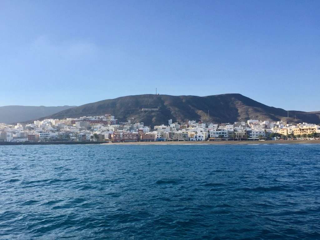
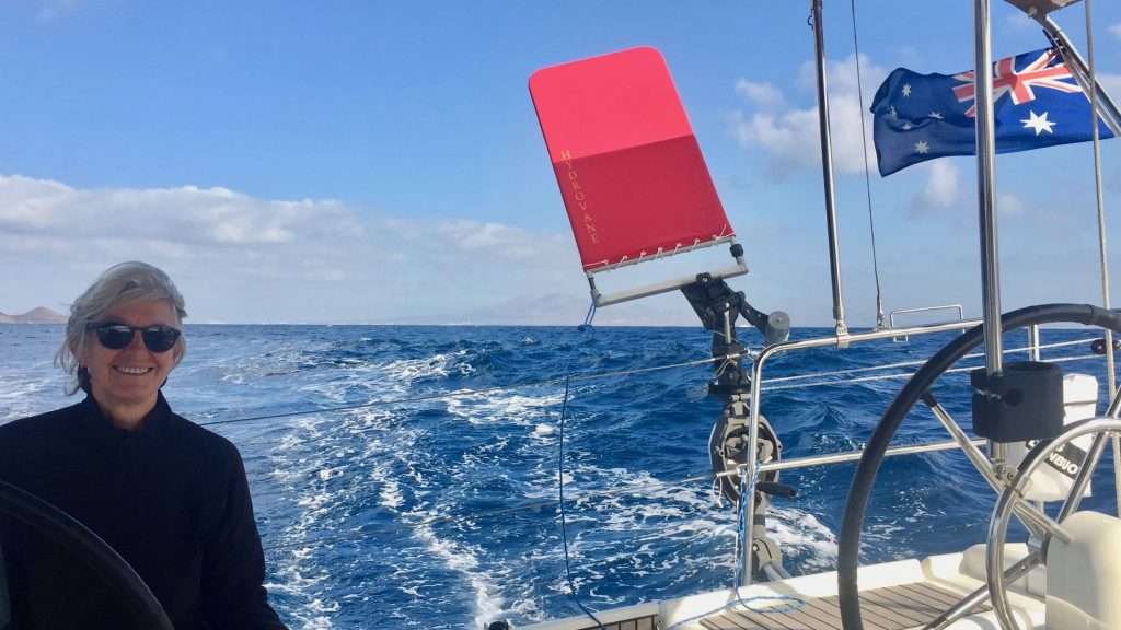
Arrecife and Rubicon on the on the East coast of Lanzarote provided us with sheltered anchorages before we crossed to the East coast of Fuerteventura with two further stops at Gran Tarajal and Morro Jable. The final leg was to Las Palmas on Gran Canaria Island. We managed to master the Hydrovane windvane steering on the 150 nm trip and I have to admit – it’s like having another crew member on board. Good, for when it’s just the two of us, to share watches.
Lanzarote coastline, sailing south.
Gran Tarajal – a pretty town in the middle of nowhere.
Annie and Harry the Hydrovane.
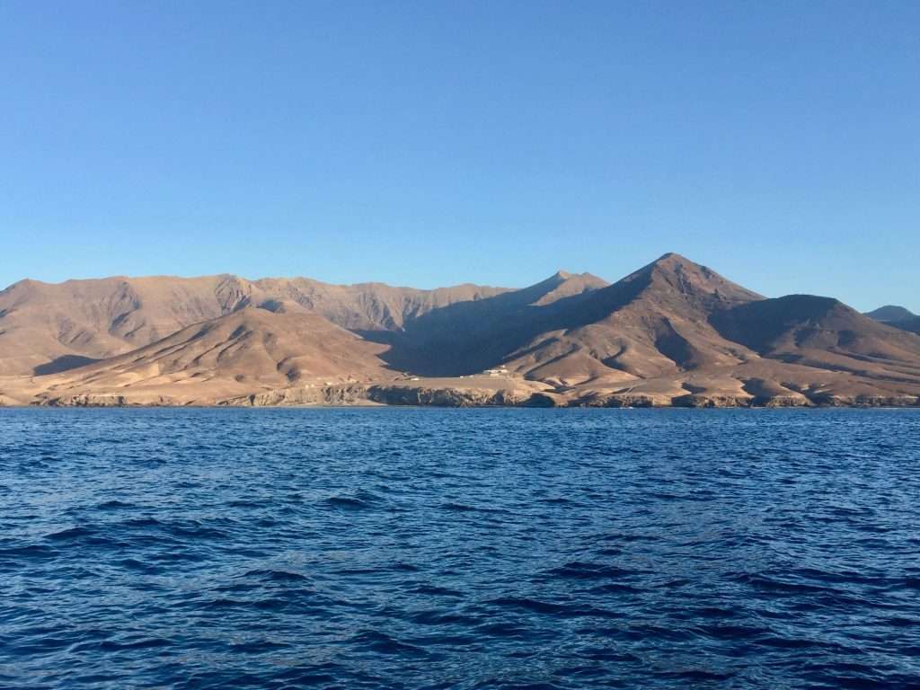
Fuerteventura – nothing growing here.
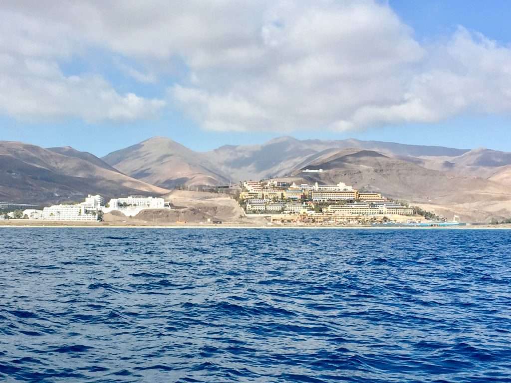
Suddenly, oasis like resorts.
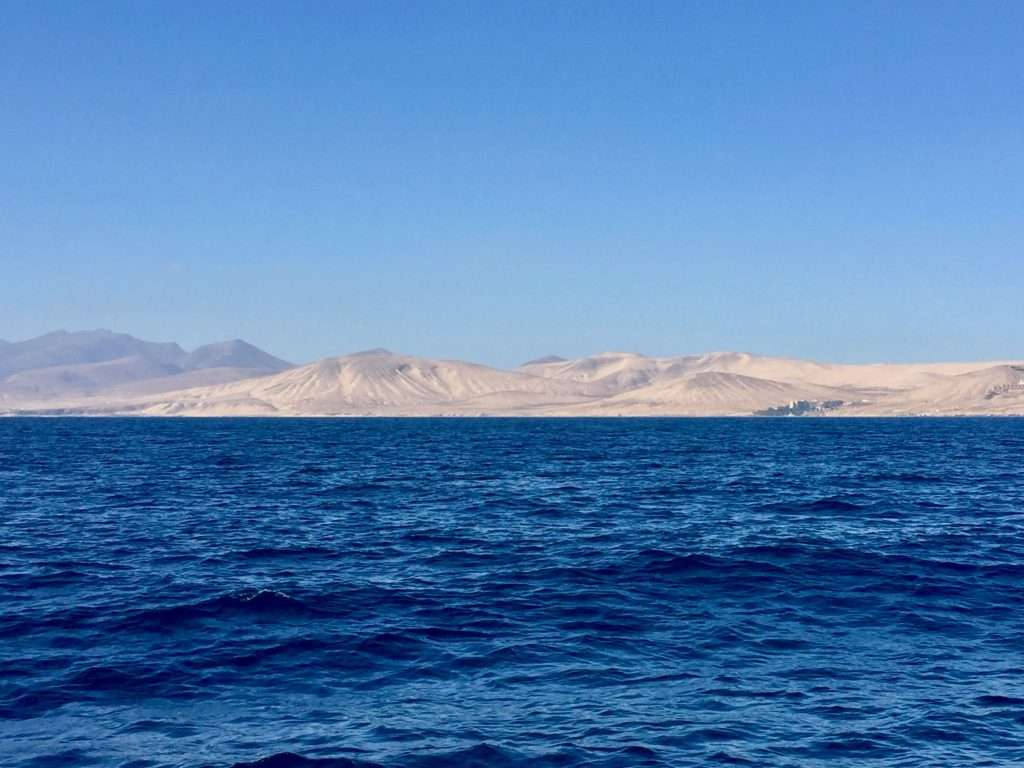
Last look at Fuerteventura.
We arrived in Las Palmas on the 11th of December after a robust 58nm crossing from Fuerteventura, averaging 7.5 knots over the distance. With some 1,250 berths at the Las Palmas Marina, we thought that after the start of the ARC rally in late November, there would be plenty of berths available – no luck, we were placed on a waiting list with 40 other boats already anchored in the bay, adjoining the marina.
While calling the fuel berth in the marina on VHF 11, to tie up and fill up with diesel, Robbie and Bev Collins from the USA on Mersoleil recognised my voice and called back inviting us for dinner. What a small world – we had met in Cochin, India and later caught up in Cape Town. Whilst we opted to sail through the Red Sea, they went the long way around the Cape and then across to the Med. We will probably be sailing to the Caribbean around the same time.
Annie and Bev.
Robbie Collins.
After two days on anchor in the harbour, we were allocated a berth in the marina. This was a relief, as we had work to do on the boat as well as stocking up with groceries, gas and diesel. The marina was buzzing with crews on their boats getting ready to do their Atlantic crossings – quite exciting. There was also a constant stream of young people coming past, looking for berths to get to the Caribbean.
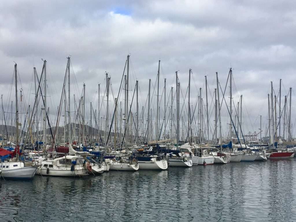
The marina, bursting at the seams.
Australian, South African and UK sailors doing their departure planning.
On the 15th December our daughter Michelle, arrived from London to join us for the Atlantic crossing. Fortunately for us, she was between finishing her London contracting job and starting an assignment for United Nations Women in PNG in February. Being an avid sailor, she wouldn’t miss the opportunity to do and ocean crossing and getting to know Esprit better. Karen would have joined us too if she wasn’t committed to travelling with her beau Evan, in South America and Cuba at present, .
Annie and Michelle.
Although the wind is pumping from the south at present, we are looking at setting sail around the 18th December when there appears to be a good weather window to head south to the Cape Verde islands and pick up the easterly trade winds across the Atlantic.
For those interested, you can track us on this link:
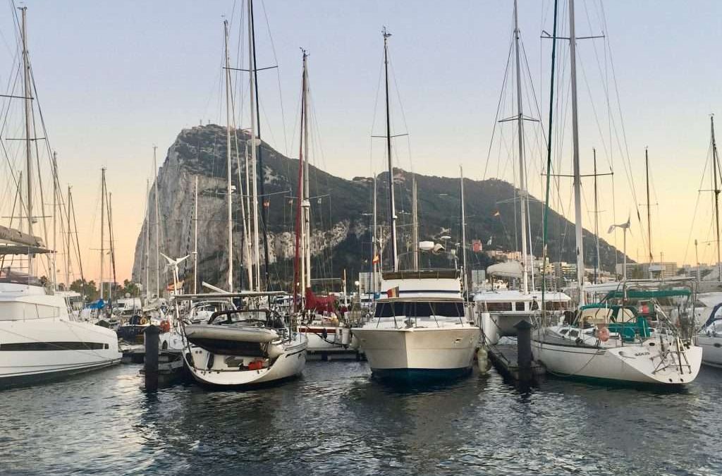
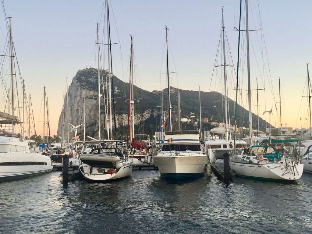
Our last sunrise in Alcaidesa Marina with the Rock in the background.
Annie decided she had enough of the cold weather, so went to Carrefour in La Linea to buy us a 1,500 W fan heater. On Tuesday 19th November, we motored out of Alcaidesa Marina in La Linea next to Gibraltar, to catch the outgoing tide, if any, to cross the Gibraltar Strait to Tangier, Morocco.
Goodbye Gibraltar.
Despite planning our crossing according to the Pilot guidelines, we encountered a substantial flood current running into the Mediterranean Sea. Evidently evaporation in the Mediterranean cannot be offset by inflows from rivers into the Med. Therefore, the Atlantic Ocean water level can be as much as two metres higher than in the Med, as well as having lower salinity than the Med.
Our track across the Gibraltar Strait.
This causes flood currents into the Med of up to 6 knots and depending on the wind direction, can sometimes be partially offset by the ebb currents. Our expectations were too high, as we had to crank up the engine up to 2,500 rpm to crawl across the Strait at 3.5 knots, dodging ships in transit in the shipping lanes.
We were met by friendly marina staff at the new Tanja Bay Marina in Tangier, who were efficient, as well as the police, who handled passport control. The Customs officials were slow to process their documentation and on inspection of our boat, were more interested in weapons and drones, than in the substantial cache of alcohol and wine we had stowed away in La Linea. Lucky for us.
The marina offices.
For more than 2,500 years people have inhabited this strategic point on the strait separatingEurope from Africa. And just about every race or power that ever had an interest in this corner of the Mediterranean has left its mark. The port has seen them all come and go: Phoenicians, Romans, Visigoths, Arabs, Portuguese, British and Spaniards among others. Tangier (Tanja to the locals) has also for some 40 years been under the dubious control of an international council, before it was reunited with Morocco, after Morocco’s independence in 1956.
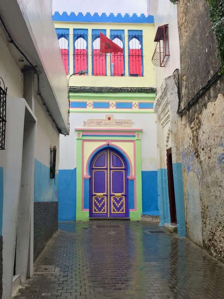
Walking through the Medina’s wider streets – you can get lost in the smaller alleys.
A shrine in a small alley.
A school in an alley.
We used the overcast and rainy weather to visit the Medina (old town) and the Kasbah (Casbah). We found a tailor who were more than happy to replace a zip on one of my shorts and patch up the splitting seams in our two fold-up bicycle bags – for AUD 6! People eke out a living here and the contrast between the hip Moroccan youngsters and the older generation is striking. The other striking thing is the absence of older women on the streets – the men crowd the coffee and tea houses in this patriarchal society, seemingly with no need to work.
The tailor has a small shop above the courtyard.
Market vendors outside St. Andrews church.
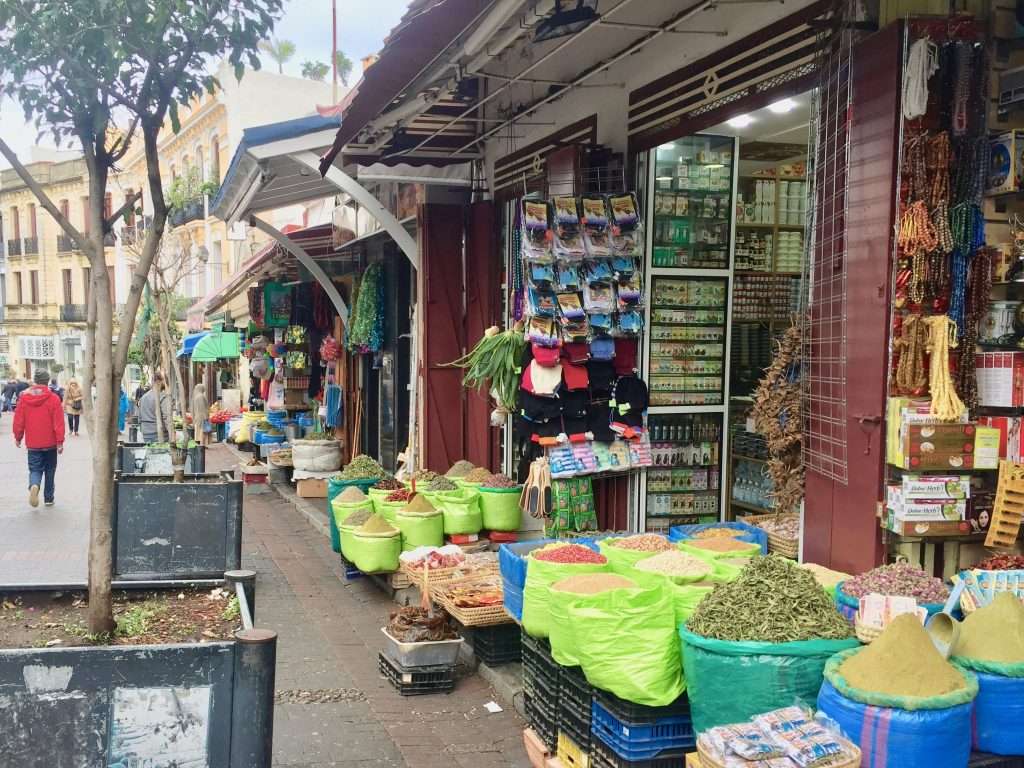
On the way to the Kasbah – spice vendors.
Annie buying dried fruits and nuts for our muesli – very cheap.
I’m guarding my master’s spices.
There was a break in the rain the following day, so we took the opportunity to walk all the way to the top of the Kasbah to visit the Kasbah museum – the former Sultan’s palace. Here we found an interesting display of artefacts dating back to the Carthaginians and the Romans who occupied this palace followed by the Muslims, Portuguese, Spanish and British Governors.
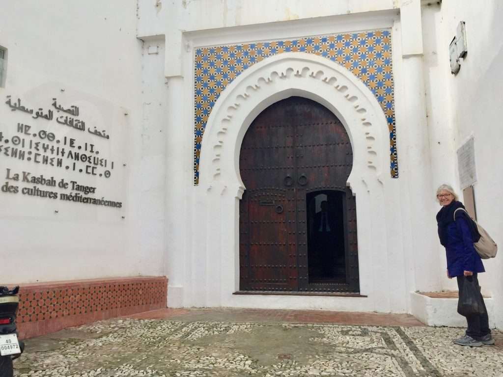
At the entrance to the Sultan’s palace.
Inside the palace – a courtyard with floor mosaic.
Wall plaster carving.
The carved ceiling above.
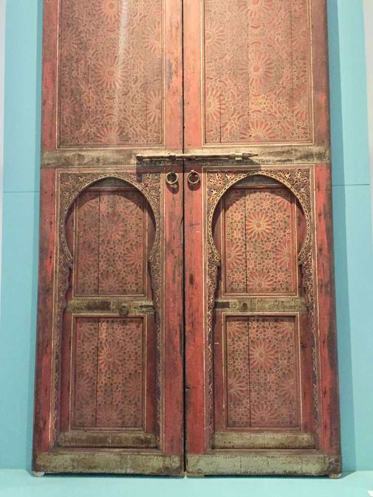
Door detail.
On a more contemporary note there is also the Cafe Detroit on the second floor off the garden courtyard. It was set up in the 1960’s by Brion Gysin, writer and friend of the Rolling Stones. It was then called the Thousand and One nights and saw many musicians pass through, including Brian Jones founder and original leader of the Rolling Stones, before his early death in 1969.
The garden courtyard with Cafe Detroit on the second floor.
Impressive doors in the smarter Kasbah streets.
Walking out of the Kasbah alleys.
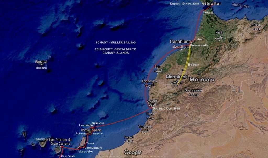
We ended up staying in Tangier for four days, enjoying the local food and waiting for the rain that came with the south-westerly wind, to abate. We departed on Saturday the 23rd November, when a favourable north westerly set in to carry us south along the coast to Rabat, the capital. Alas – we were still in the Gibraltar Strait and had to fight massive swells and current before we could turn south along the Moroccan coast. The preceding four day’s wind left a lovely 3-4m swell rolling in from the Atlantic, but the new 15 knot westerly wind allowed us to sail through the night for 70 nm.
Gibraltar to the Canaries.
The last 70 nm to Rabat had less wind, leaving us with a confused sea through which we had to motor sail. Arriving off Rabat at 11:30, we were refused entry into the harbour, as the swells were crashing over the breakwater and harbour walls, resembling a washing machine. Err on the side of caution we said, and carried on to Mohammedia, a large harbour with a small yacht club, about 12 nm north of Casablanca – which we discovered, doesn’t have a yacht basin due to funding cuts.
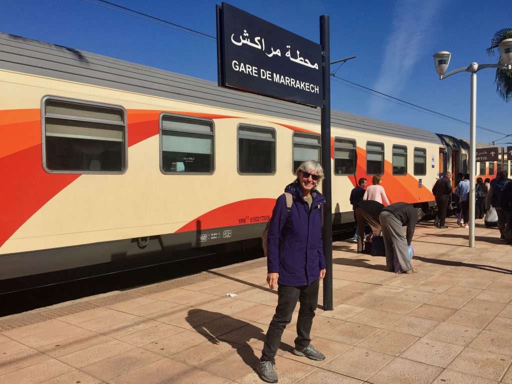
We had a very friendly reception by the police and customs officers who came to stamp passports and check the boat. During the night, we discovered that the 2.7 m tidal range, had Esprit standing on her 2.2 m keel, at every low tide. We were tied up well and the security at the yacht club was excellent, so the next day we took the express train to Marrakech (Marrakesh) for the 3-hour journey in second class. Not cheap at about AUD 24/person, but convenient, clean and on time. I was reminded of Crosby, Stills and Nash’s hit, the “Marrakesh Express” from 1969.
The station in Mohammedia – platforms in need of repair.
Platform in Marrakesh – in better shape.
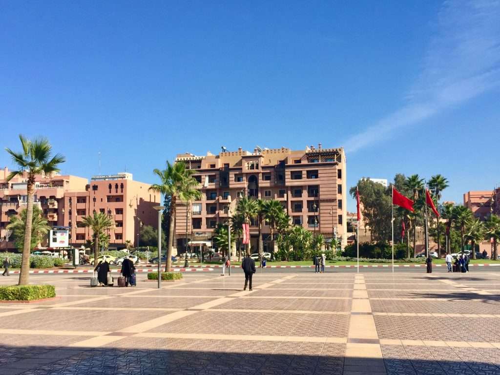
Marrakesh has an entirely different feel to Tangier in the North. It remains more African than cosmopolitan Tangier and Casablanca. It was at one stage the capital and the king has his palace here. Located in the foothills of the Atlas Mountains, it is still regarded as the southern capital and attracts merchants and traders from the surrounding plains, High Atlas Mountains and the Sahara. Red, in all its shades, has become the colour of Marrakesh – even on the modern buildings.
Modern buildings in Marrakesh new town.
Marrakesh station interior.
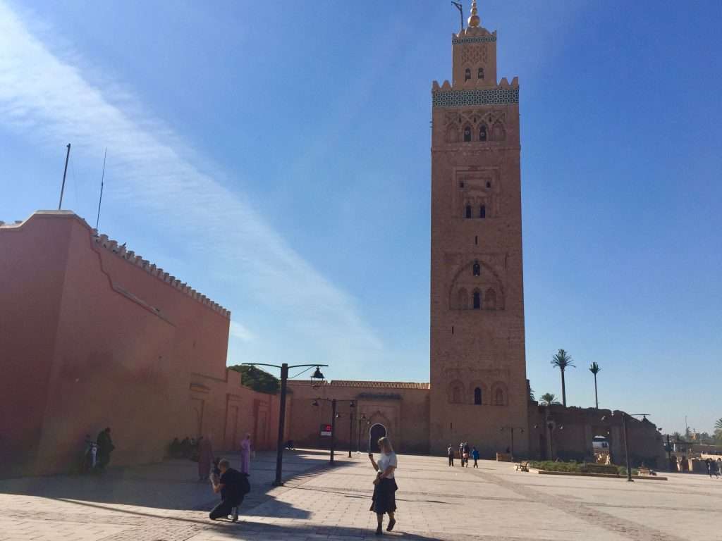
Marrakesh station is a modern structure with quite an airy feel, incorporating traditional symbolism, arts and crafts. Djemaa el-Fna, is a large, irregularly shaped open area in the heart of the old city and the medina, with the landmark Koutoubia mosque across the main street. From this open area runs the traditional maze of souqs and twisting alleys, where you can easily get lost. We had lunch here, watching the passing show of tourists, hustlers, traders and snake charmers.
Koutoubia mosque
Fruit vendors in Djemaa el-Fna
Narrow alleys in the souqs.
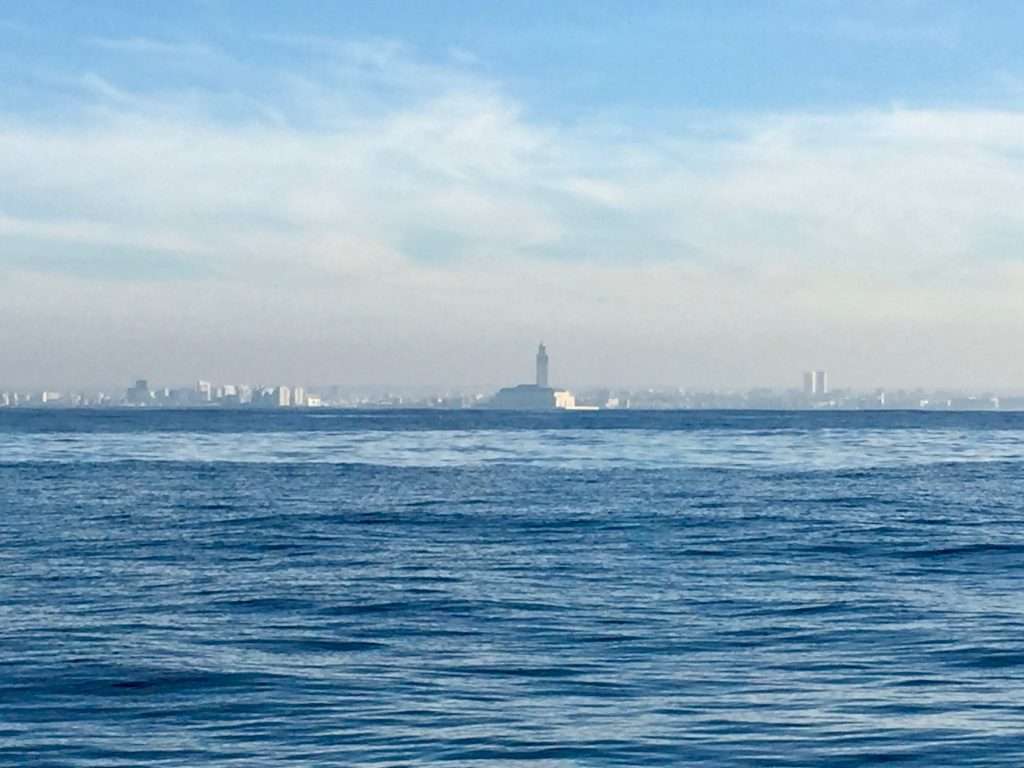
On the advice of Karen our daughter, who travelled through Morocco a few years ago, we didn’t visit Casablanca, as it is Morocco’s largest city, industrial centre and port – nothing to remind you of the movie Casablanca with Humphrey Bogart. You can visit the Hassan II mosque, the third largest religious monument in the world, completed in 1993, with a 210 m high minaret. It is said to be big enough to house Notre Dame or St Peter’s in its vast prayer hall. It took a photo as we sailed past from a distance of about two nm.
Hassan II mosque from a distance.
Leaving Mohammedia, we went well offshore to keep out of the way of the numerous fishing boats and the ever present fishing buoys that inhabit a 12 nm distance offshore. The sea was now much calmer with a gentle 3 m high swell setting in from the West. It took us 46 hours to sail or motor on occasion, the 280 nm to Agadir in the South. The two nights en route were quite cold, but when we tied up in Agadir marina at midday on the 28th, the temperature was a pleasant 27 deg C.
Agadir marina.
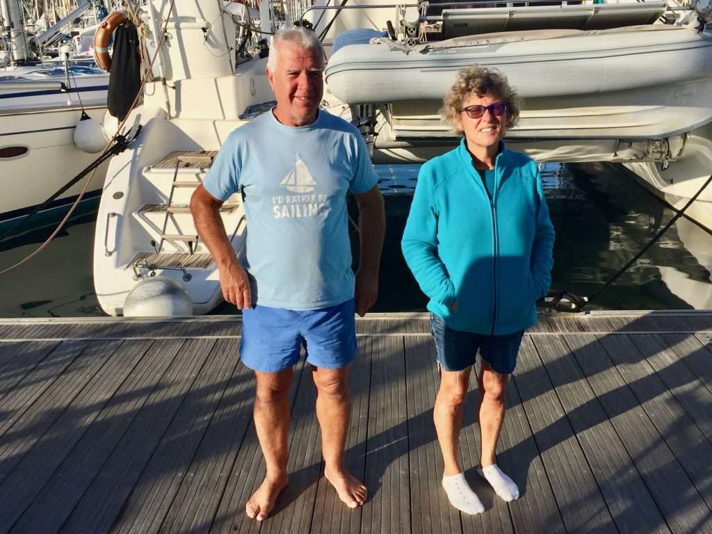
Again, we were met by very friendly customs and police staff who were clearly aware of the value of tourism to this out of the way town. We took the opportunity to fill up with cheap diesel and gas cylinders for the last time before crossing to the Canary Islands. We had a pleasant evening with Eduard and Almuth Keck Otterstedt from Switzerland on their yacht “Single Malt”, who at the ages of 83 and 76 have circumnavigated the world and are still cruising. They are also glider pilots.
Almuth, Annie and Eduard.
Next stop will be in the Canary islands, so until later, Cheers!
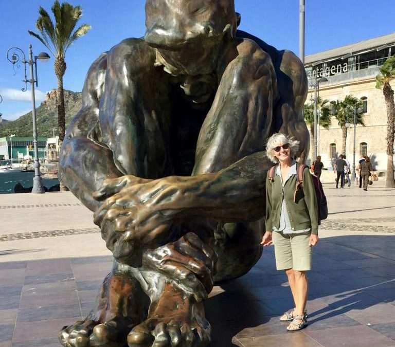
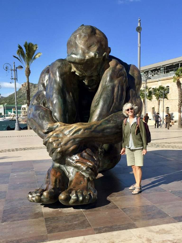
Cartagena was worth a three day visit. We were tied up in the marina while the westerly was blowing fiercely in the bay. We explored the town which has an abundance of public sculptures and visited the Roman theatre and the Forum precinct which dates back to the first century BC.
One of the sculptures.
The Roman theatre.
The town is partially enclosed by ramparts constructed by Charles III and has many well maintained historical buildings such as the monumental City Hall in the form of a triangle with different facades and also the house of Miguel de Cervantes, the writer of Don Quixote amongst others.
Charles III ramparts.
The eclectic City Hall.
We set off from Cartagena on the 5th November in a sparkling clean boat, inside and out, only for the rough passages over the next three days, to cover everything again in a layer of salt – that’s sailing. We anchored in Carboneras, Roquetas, Adra and Almunecar enroute.
Esprit’s route to Gibraltar.
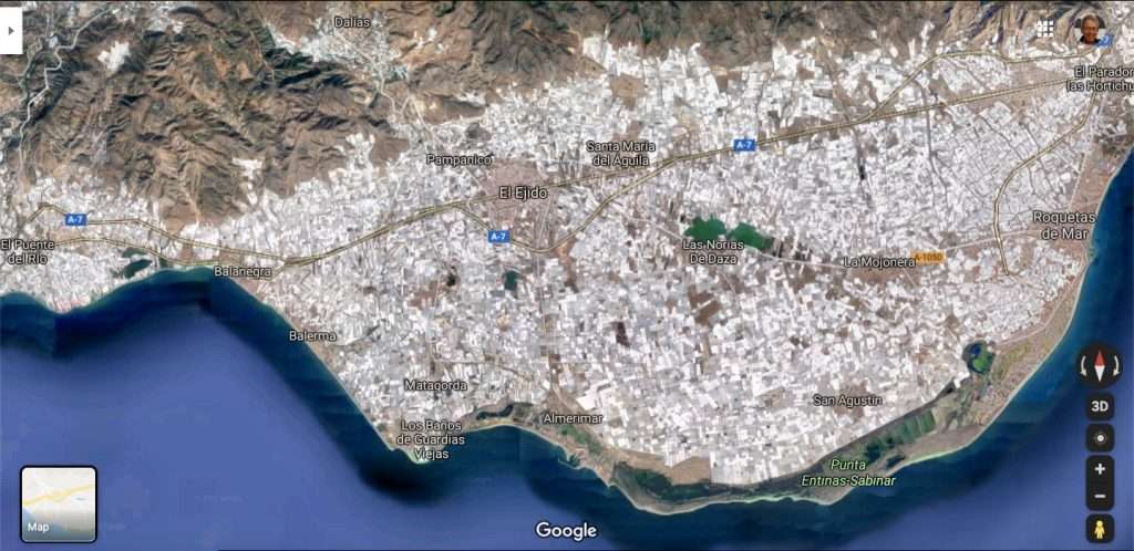
The coastal strip from Roquetas to Motril just before Almunecar, falls between the tourist coasts of the Costa Blanca and the Costa del Sol. This strip should be called the Costa del Hothouses, as it is covered by hectares of massive plastic roofed hothouses. Clearly, this is the food basket of Spain and probably much of the EU, because of the warm climate and the south orientation.
Google maps detail of an area of hothouses.
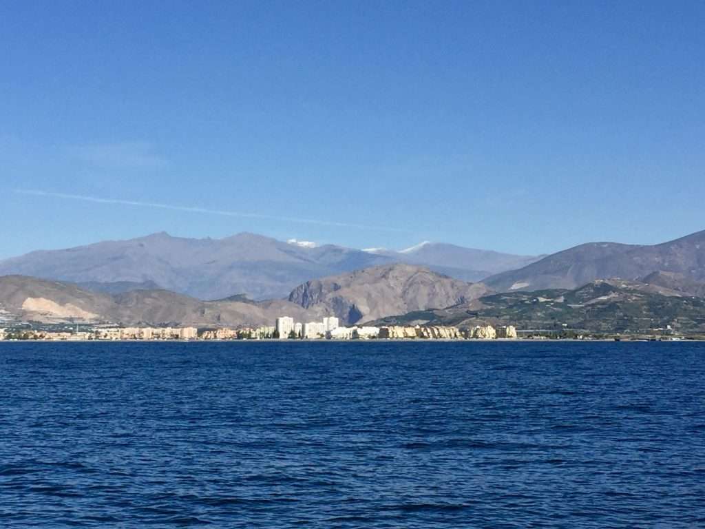
The majestic Sierra Nevada mountains forms the backdrop to this coast. The cold front sweeping south from the Arctic around the 8th November, covering the UK in snow, also brought snow to these mountains and the temperature plummeted, requiring us to take out our jeans and jerseys.
First snow on the mountains behind Motril.
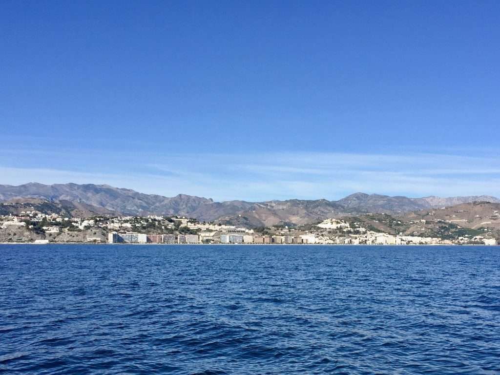
It’s been a long time between drinks (as we colloquially say in Australia), but when my brothers and I parked our camper van on the beach in Almunecar in 1975, it was a small and charming coastal village. We got to know Pepe’s Bar in Almunecar quite well, due to Pepe’s generous free tapa’s of smoked ham, olives and cheese. Usually to be followed by an order of Tortilla, a delicious spicy potato omelet. Below is a photo of the town today and somewhere behind the rows of apartments, you my find a small and charming village.
Almunecar today.
There was no time to sit and contemplate the changes that inevitably occur during the course of 44 years, so we pushed on with stops at Malaga, Torre del Mar and Marbella. Each day, the temperature dropped as the Arctic freeze swept south into the Mediterranean, with snowfalls on the mountains in Mallorca (Majorca). Rugged up and now in foul weather gear, we pushed on.
This is the Costa del Sol?
As we were approaching Gibraltar from the north east in a building wind, who should crop up on our AIS, but Paikea from NZ. We hadn’t seen Tina and Jonny for a while, as they were cruising in the Balearic islands of Majorca, Minorca and Ibiza – now, here we were sailing into Gib together facing a howling north wester as we rounded the tip of the “Rock”.
Paikea, out of the blue.
Approaching Gibraltar.
Rounding the Rock in a big sea.
Fortunately, Queensway Quay Marina where we had a booking for the following day, had a berth for us to enter a day early – anchoring off would have been impossible. Having all the amenities the Brits expect, we visited Raj’s Curry House for a calming bottle of wine and a delicious meal, before an early night.
The next day we were informed by the customs broker that our Hydrovane would only be cleared for collection the following day. James Pritchard from Pritchard’s Marine came around to measure up for the installation and promised to collect the gear from Customs the next morning. We took the opportunity to walk to the chandleries to buy additional bits and pieces, as I had two pumps to fix that afternoon – the leaking deck wash pump and a non-flushing toilet pump.
While I tackled the pumps and got them working again, Annie cycled to Morrisons Supermarket to buy some vittles. Anthony and Michelle from Melbourne Australia, on their catamaran Boomerang, two berths down, joined us for sundowners – they were just entering the Med, having come up from Morocco, so we could exchange useful information.
The Hydrovane gear in 5 boxes.
Next morning, James and Luke arrived with the gear for the Hydrovane and set to work, until the rain interrupted them at 1:30pm. They took the pieces that needed modifications back to their workshop, promising to be back the next morning to assemble the system.
Luke and James mounting the mock-up.
The job was completed on Friday morning for GBP 490, which allowed us to leave the marina, re-fuel the boat tax free in Gibraltar and motor to Alcaidesa Marina beyond the airport runway, which is the border between Gibraltar and Spain.
Harry the Hydrovane, our new crew member.
Now the reason for a three day stay in Spain is because, despite Gibraltar’s so-called tax free status, the only things cheap in Gib, are diesel and alcoholic spirits. For the rest, food, wine and beer are cheaper on the Spanish side. So we used these prices to re-stock our provisions for the next four months, as evidently, the only thing cheap in the Caribbean is rum,which we don’t like.
The Rock from the other side, as we motor around to Alcaidesa Marina.
We had time to catch up with Paikea in the marina and start planning dates for the Atlantic crossing, as Jonny and Tina are good company and our boats have similar lengths and speeds. They had been to Morocco before, so while Annie and I sail to Tangier and Rabat to explore Morocco, they will stay in the marina to take their mast down and do some instrument re-wiring.
While waiting for the right tide through the Strait and a fair wind to Tangier, we say cheers until the Canaries.