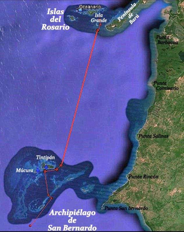
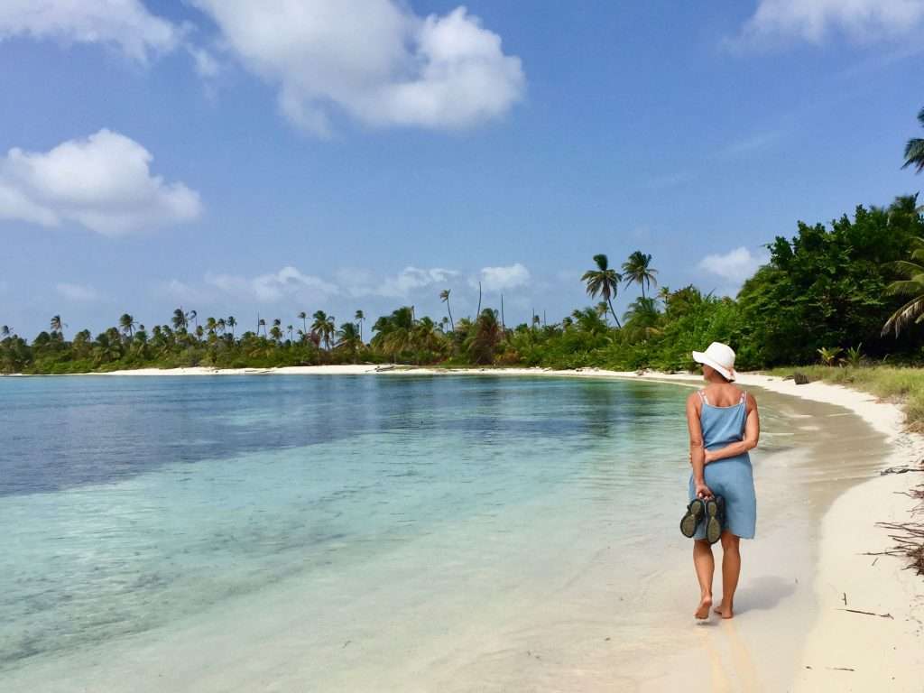
On the 11th January we motored the 14 nm from Cartagena, south to the Baru peninsula which has a beautiful long white beach with clear water on the North west side, called Playa Blanca. We found a sheltered anchorage in the lee of Punta Gigantes and it was so peaceful, we spent three nights here. It gave me the opportunity to clean Esprit’s waterline and sides which got quite dirty in Cartagena. Annie polished all the stainless steel work on the boat.
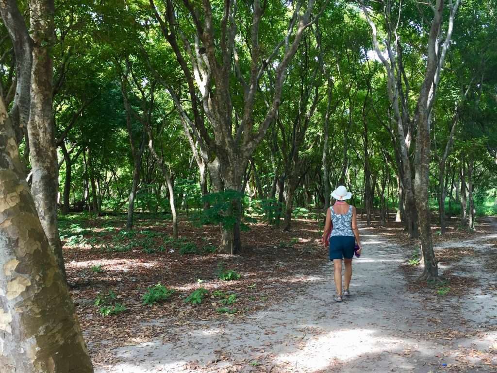
From Playa Blanca it was a 7.5 nm sail south west to the Islas del Rosario Archipelago formed by a group of 27 small islands surrounded by intermittent reefs. We anchored on the South side of Isla Grande and spent a pleasant three days exploring the eastern and western sides. The North eastern side is where all the resorts are and although there are no roads on the island, there are beautiful walking tracks under the trees, all over the island.
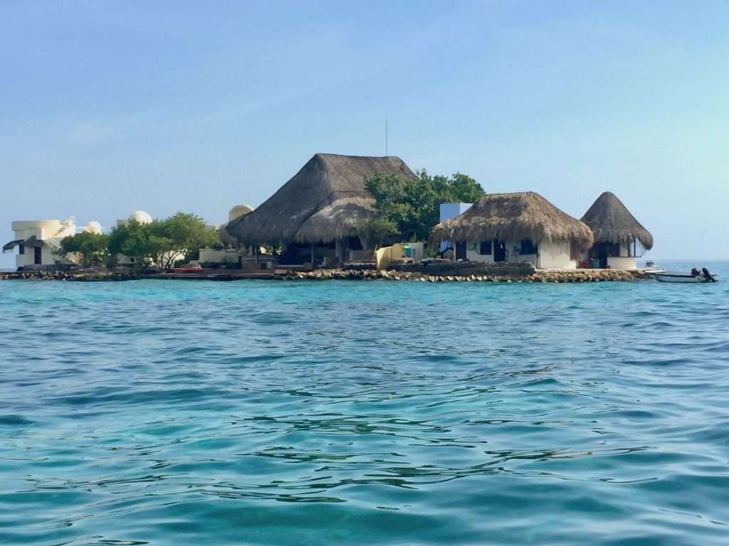
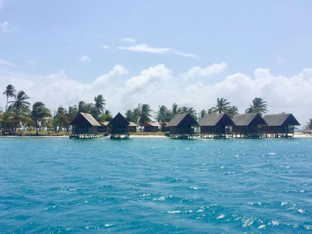
We set sail on Saturday the 16 th January in a light north westerly for the 26 nm sail to the San Bernardo Archipelago. This mini archipelago lies at the northern edge of the Gulf of Morrosquillo. It’s ten islands are a group of low rocks, wooded cays, and shoal banks with Isla Tintipán, the northernmost cay of the group and the largest. Its southern shore has a few attractive grass thatched resorts, where we anchored in crystal clear water.
The following day we sailed through the Gulf of Morrosquillo, looking for phone reception to check the weather for our crossing to Panama. We had no success off Isla San Bernardo, the towns of Berrugas and Santiago de Tolu. After 42 nm, we anchored in the bay Bahia de Cispata, where we had a good signal and were able to attend to emails and download the weather forecasts.
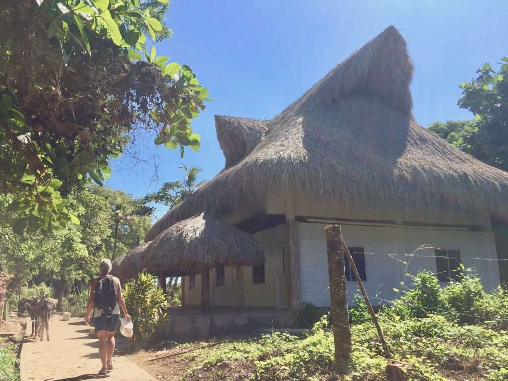
It was a 25 nm motor sail to Isla Fuerte, our last stop in Colombia, where we anchored on the leeward shore, in a beautiful sheltered bay. Isla Fuerte owes its name to the fort (fuerte) built by the Spaniards to protect the island from attacks by pirates and privateers. The island is enclosed by reefs and the surrounding waters are very shallow far from the shore. This island has no vehicles or motorbikes – a few locals have bicycles and dozens of donkeys transport produce, water and supplies. We managed to spend our last Colombian Pesos in one of the small grocery stores of Puerto Limon.
We decided to head from Isla Fuerte due west, to the outer islands of the San Blas archipelago off the Panama Isthmus mainland. The 150 nm overnight sail turned out to be hard work. Although the N-E wind only got up to 25 knots on our beam, the sea had built up to 3-4m swells after the weeklong N-E winds. This, coupled with a contrary current, made for a very confused sea. After 24 hours, we were relieved to anchor in the lee of the island Banedup, in the eastern Cayos Holandes group – wet, salt encrusted and tired.
The San Blas Islands offer an exceptional area, worthy of exploring, for its uniqueness and beauty. Stretching about 170 miles along the North coast of Panama from Cabo Tiburon on the Colombian border, the chain of small islands named by the Spaniards as San Blas, is called Guna Yala by the original dwellers. Guna Yala is one of the three Panamanian departments that make up the autonomous Guna territory, inhabited by some 40,000 Guna Indians – scattered in 49 communities, both on the mainland and on the islands off the coast.
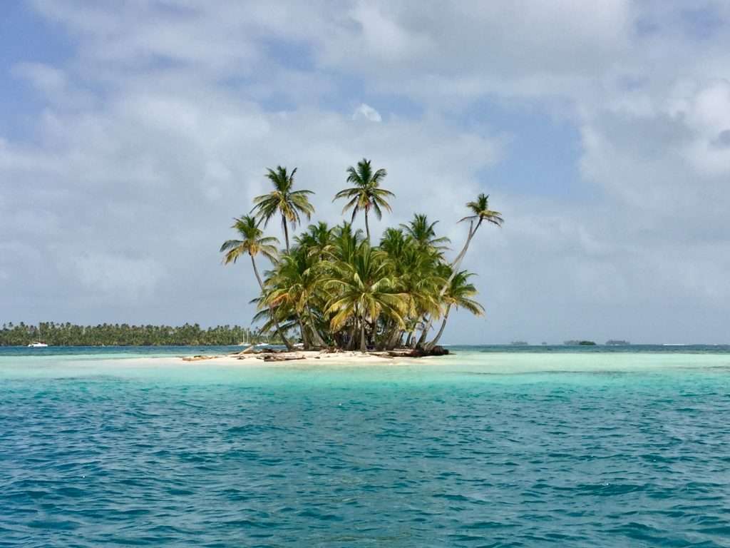
Guna Yala, the most populated of the three departments, encompasses over 378 small sand islands, most of them uninhabited and ranging from a decent size piece of wooded land to a tiny pile of sand with a few coconut trees gathered in the middle. Although fairly well protected from the sea by the surrounding reefs, the islands are located in shallow waters with no access for big vessels – and quite problematic for our 2.2 m draft. They rise above the turquoise waters just enough not to be seen due to the waves in rough seas.
Do not be fooled by the bucolic beauty of the landscape. The whole cruising area is full of reefs, shoals, and shifting sand banks. The area is not charted in detail and commonly used electronic local charts are far from accurate. Eyeball navigation was the order of the day for us, despite three sources of charts behind the wheel – Navionics on the chart plotter, open CPN and other charts from Eric Bauhaus on two laptops.
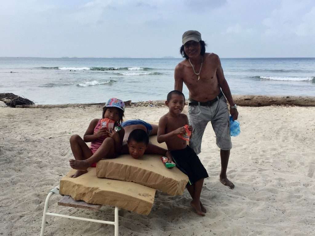
Fish, seafood, coconuts and plantains are relatively easy to get from the Gunas who will approach your boat on their ulus (wooden boats carved out of a single trunk, propelled with paddles and a rudimentary sail) to offer their catch, produce or crafts. Women are in charge of the household finances and contribute to the economy with the sale of their handcrafted molas, colourful pieces of cloth, sewn in multiple layers, then cut to reveal intricate patterns. Annie splurged on a few of these beautiful molas.
After 5 days at Banedup (with no internet), and exploring the surrounding islands by dinghy, we sailed the 8 nm distance to Green Island (Kanlildup) to get a Digicel phone signal, receive our emails and reply to them. There were 18 boats at anchor at Green Island, as this is one of the few islands where a slow internet signal could be had. We met some new cruisers anchored here and did walks on the island which was uninhabited. We bought fish and squid from the fishermen and had a visit from the Guna Yala officials to collect a USD 50 fee for a month long cruising permit in the San Blas Island waters.
Four days later, we motored to the Coco Bandero Cays to the North. These small islands behind a long barrier reef are truly beautiful, but exposed to the fresh winds blowing in from the Caribbean sea. After two days, the wind and the swell picked up, so we decided to leave after taking the dinghy to Tiadup Island to the North, to drop off some rice, cooking oil and other pulses for the two families living there. They had come by in their ulu asking for things – we couldn’t understand their Spanish, so we gave what we thought they needed. After consulting Google Translate that evening, we realised that cooking oil and rice were the two words in Spanish they kept repeating.
Our next stop was 10 miles to the West in the central Holandes Cays where we anchored north off Miriadup in sheltered water. Miriadup has a number of houses on it, but is very plain compared to what we had seen thus far. The island to the North is largely a swamp and Bauhaus’s guide warns about the insects and no-see-ums that come out when the wind stops blowing
Another 10 mile sail southwest to the Cayos Chichime, saw us anchored in the lee of Uchutupu Dummat, the main island which houses a neat and colourful community. The main anchorage behind the reef had about 10 boats at anchor, which were more exposed to the swell, due to the fetch to the reef.
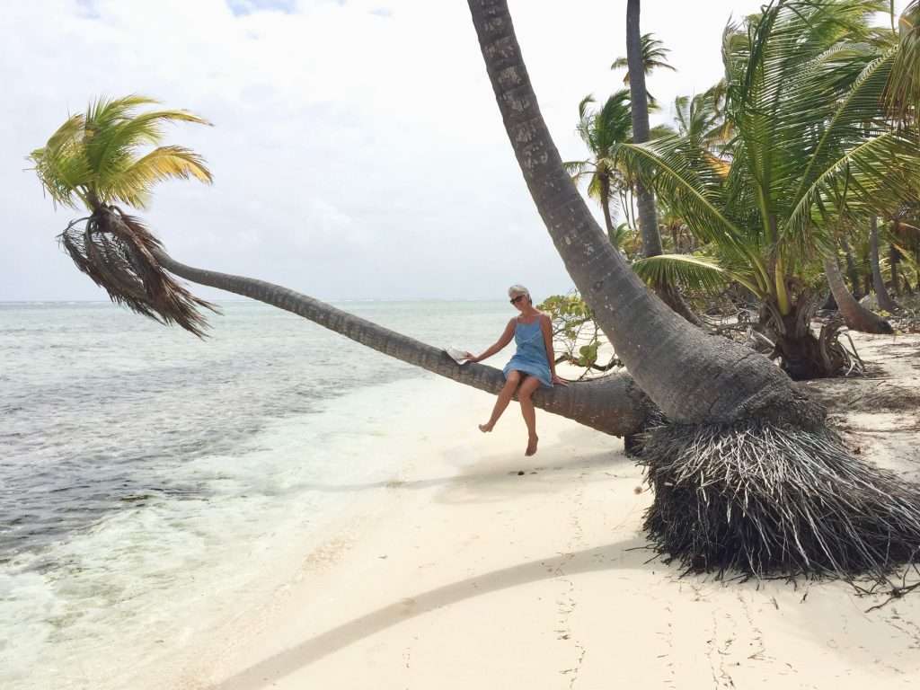
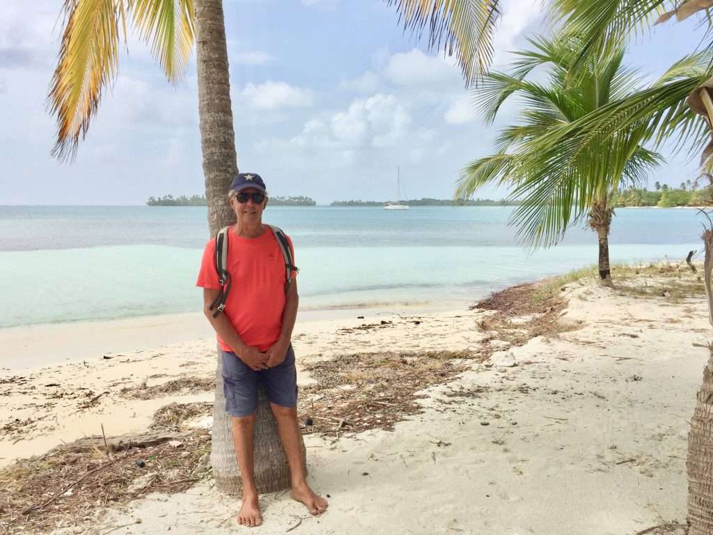
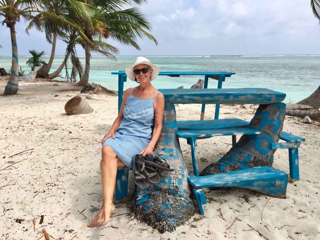
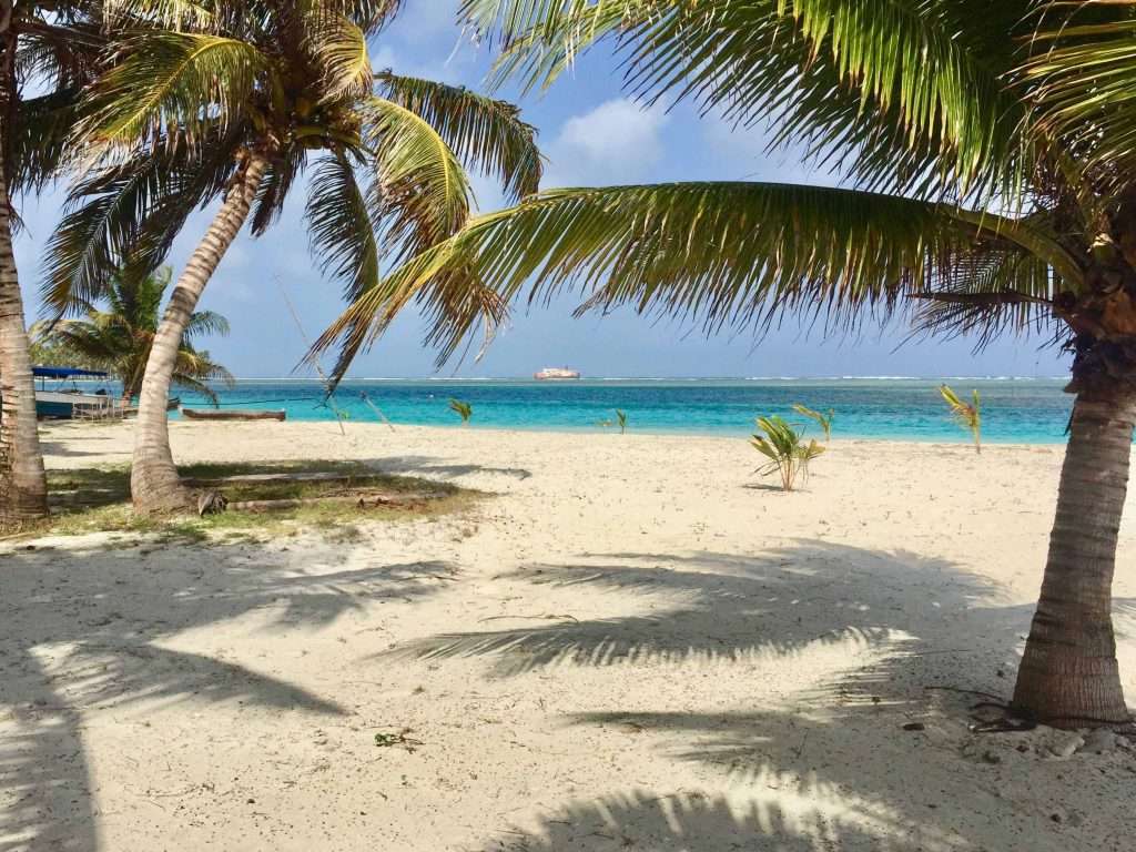
We explored the coastline of this island which had white beaches and clear water. Walking around the island, we met the locals who were very friendly and took trouble to rake the ground around their houses and under the palm trees. Like all these islands, the flotsam and jetsam from the oceans, unfortunately, end up on their windward shores.
Two days later, Elaine and Crawford Sneddon anchored next to us in SV Nauplios. We went over for a fabulous dinner with lots of wine, walked around the island and had water noodle sundowners.
After four days we upped anchor and motored to the Cayos Limones (Lemon Cays). We only stayed for 30 minutes before moving on to Provenir Island, as the wind and swell were too much. All there was to see was an abandoned holiday resort on the water.
Provenir is the Guna Yala administrative centre with customs and immigration as well as a small regional airport. The wind and swell were too much again, so we anchored in the lee of the densely populated Wichubuala Island for the night.
The next morning we made an early start for Puerto Linton, 40 nm to the West. The swell and the wind was manageable and we had a terrific sail to Linton Island, where we anchored with approximately 80 other yachts of various vintages and sea worthiness. Annie suggested a lot of boats on anchor here, won’t transit the Panama canal for financial reasons, or because a Pacific crossing was too daunting.
Nevertheless, it’s an interesting anchorage with interesting characters hanging around the marina bar, staring at the horizon. There was good internet, so we stuck around for three days, catching up with emails etc, before setting off on our last leg to Shelter Bay marina, 30 nm to the West.
Our next post by end February should be interesting, as we will be transiting the Panama canal, before setting off across the Pacific to the Marquesas Islands 3,900 nm away. Please don’t send us any emails from about the end of February for about a month, while we are using the expensive Iridium satellite network – SMS messages will be OK.
Finally, news from our girls is that over the festive season, Michelle visited Cape Town in SA and Karen and Evan hiked in South Island, New Zealand.
Cheers for now!

















Hi gues,
it is always nice to receive updates and see you fantastic pics, you are really lucky… I will be happy to be in “confined in Coco Banderos cays for some times instaed to be in Longbard land …
Good wind, safe traveling .
Send some sun and warm vibes, enjoy every minute and take a deep for me please…
Suddenly all the pics were there!
Please ignore previous mail message / comment re no pics, if you rec’d it!
Hi Guys! great to hear from you again! Thanks for keeping us in the loop!
Unfortunately with this blog, there are no pics!
Happy travels! Be safe and continue to enjoy this remarkable journey of a lifetime!
Love to you from us
Denis & Toody
Thank you for a beautiful update! When due you take on the canal?
Waiting to hear from our agent when they can fit us in between the big ships – hope to transit next week around the 15th.
Amazing post guys and thanks for the heads up about the journey ahead. San Blas looks amazing. Enjoy the sailing, I hope that course you took relatively south was better for the swell.
Thanks Matt – missing you. Your golf shoes joke has earned me a few beers!
Great pictures and write up guys!
Marty & Sue.