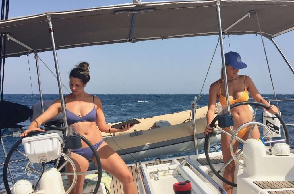
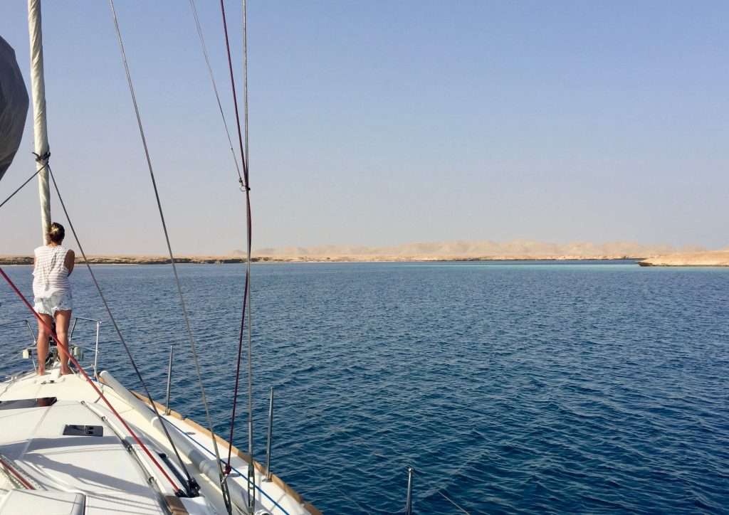
After our second Suez Canal pilot Alec, was picked up by a pilot boat at 6pm on Monday the 23rd April, we set sail from Port Said for Cyprus, 225 nm to the north-east. The conditions were as good as was predicted, with a light 10-15knot wind allowing us to close reach on a rhumb line course to Cyprus. By 2am on Wednesday the 25th we spotted the loom of the lights of Limassol on the south coast of the island.
Map of Cyprus.
At 9am we made contact with the marina in Larnaca, where we had booked a berth and after a 40-hour transit, we were tied up to a berth at 10am. Soul arrived shortly afterwards and was allocated a berth, directly opposite us on the B-finger. We checked in with the friendly marina staff, then customs and finally the marina police, who handled the immigration formalities. All friendly and efficient and very European. We then went to buy SIM cards for our mobiles with sufficient data for our internet and email use.
Larnaca marina.
The afternoon was spent catching up with sleep, before we hit the town with Mike and Sarah for a fantastic dinner of Cypriot food and wine. The following day was spent cleaning our respective boats inside and out of the layers of desert dust. Next thing, the bikes were taken out and we set off first up, to the tourist information office where a friendly lady supplied us with maps and information about the Republic of Cyprus.
Restored warehouses outside the marina.
Cyprus is the third largest and third most populous island in the Mediterranean and a member of the European Union. It is located south of Turkey, west of Syria and Lebanon, north of Egypt and east of Greece. It is roughly 213 km east to west and 126 km north to south. The Republic of Cyprus is partitioned into two main parts; the area to the south, comprising about 60% of the island’s area, under control of the Republic, and the north, administered by the self-declared Turkish Republic of Cyprus, after the occupation by Turkish forces in 1974. The occupation is viewed as illegal under international law and is recognised only by Turkey.
Old stone buildings in Larnaca.
For us wine lovers, it was good news to find out that the wine history of Cyprus has been alive and ongoing for something like 6,000 years. There are 41 modern wineries presently on the island which produce not only the well-known French white wine varieties like Chardonnay, Sauvignon Blanc, Semillon and red varieties like Cabernet Sauvignon, Merlot and Shiraz, but also indigenous Cyprus varieties like Xynisteri, Mavro, Spourtiko and Ofthalmo.
Very old Greek orthodox church just outside Larnaca.
Best of all, these Cypriot wines sell from AUD5.50 to around AUD10.50 for good quality blends in the supermarkets and you aren’t made to feel like a criminal buying wine and beer, as you did in India and the North African countries we passed through. Supermarkets are well stocked, prices are reasonable and the people are friendly and fashionably dressed. There are also a number of yacht chandleries where we could buy the required Navionics SD cards for the Med, cruising guides and all manner of yacht fittings.
Inside the very old church.
We decided Cyprus was definitely worth a 3-4-week visit, inland and cruising along the coast. The 28th April came around, as did my 71st birthday. Annie treated me to a new pair of Ecco shoes and we celebrated suitably with a BBQ on board Esprit with Mike and Sarah. Annie had bought some Cypriot meat dishes with baked potatoes and salads and desserts. Over dinner with bottles of wine, we all agreed that our present lifestyle should continue for as long as our health continues. We do indeed feel fortunate about the present.
Beautiful stone masonry in the old church.
A rental car for three days, shared with Mike and Sarah, allowed us to explore the mountains and wine regions. The first day we headed west along the coast to Zygi and then inland between Larnaca and Limassol to the mountain village of Lefkara, famous for its lace and silver smithing. We explored the narrow streets and shops and had lunch at a taverna, before driving back to Larnaca. The second day we went east to Agio Napa and Cape Gkreko, an area on the east coast popular with Russian and British tourists, packed with hotels and holiday apartments. You could be in any generic tourist destination in the world – not for us.
Approaching Lefkara.
Lunch with Mike and Sarah.
Lefkara street scene.
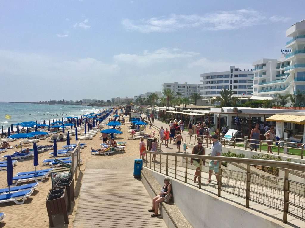
Agio Napa beach.
The third day we headed west to Limassol where we had to pick up pilot books at a chandlery and some other yacht spares. Then we headed north into the mountains and wine producing areas, tasting wines at the cellar door and buying some indigenous varieties. We had lunch in Omodos, a beautiful mountain village where we explored the narrow streets and visited the monastery. We turned back after visiting Mount Olympos, the highest mountain in Cyprus and popular for snow skiing, before driving back to Larnaca.
Highway to Limassol – colourful Oleander on the verges.
Chapel on the harbour.
Baby girl to be christened in the chapel.
Walking street in Nicosia.
View from our lunch table in Nicosia.
Whilst we had the car, we did a major shop at the local hypermarket, stocking up with local and imported products, wine and beer. The local retsina wines which Annie and I enjoy, sells for about AUD 1.80 per 500ml, so we stocked up! I took the opportunity to borrow Mike’s oil sucking vacuum device, to drain the oil from Esprit’s 54 hp Yanmar, replace the oil and fuel filters and fill up with 5.5 l of fresh oil. While on a roll, I drained and replaced the oil on the 5 hp Mercury outboard and replaced the worn sacrificial anode.
Omodos village.
The monastery in Omodos.
Gents from the monastery.
Street scene Omodos.
Another street scene in Omodos.
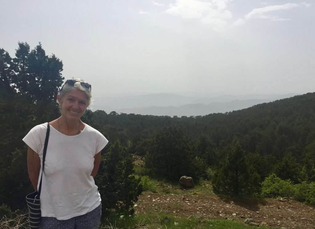
Annie on top of Mount Olympos.
Tomorrow we set sail for Limassol. We plan to spend a week to 10 days exploring the south and west coast of Cyprus, before checking out at Pafos and sailing to Turkey.
We will tell you all about the coast in our next post. Cheers for now.
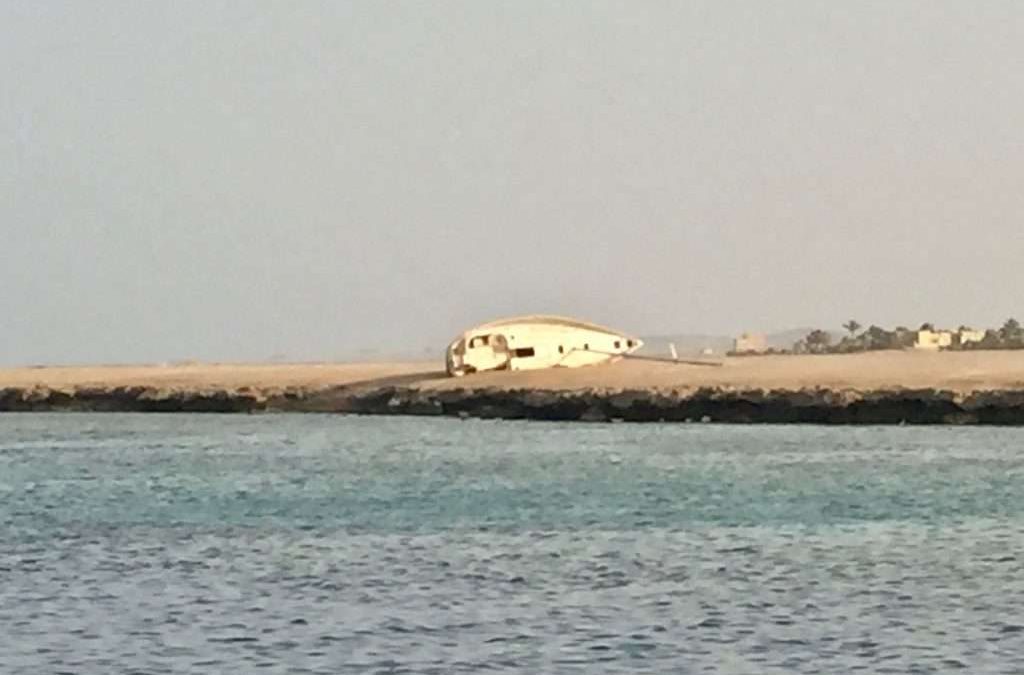
Be careful of the reefs – a wrecked German yacht near Port Ghalib.
We departed Port Ghalib after checking out at 4:30 pm, on Thursday 5th April, in the company of Darryl Laurin from Canada, on “Vimy”, a Beneteau First 47.7 which he has sailed around the world singlehandedly.
Vimy – Beneteau First 47.7
As you sail north in the Red sea to Suez, particularly in the Gulf of Suez, the prevailing north westerly winds blows continuously against you at up to 30 knots, for days on end. This results in long waits for sailors, for the right weather window to sail north. The various forecasting models, six of which we use, predicted a four-day window of light north westerlies starting that evening, hence the sunset departure.
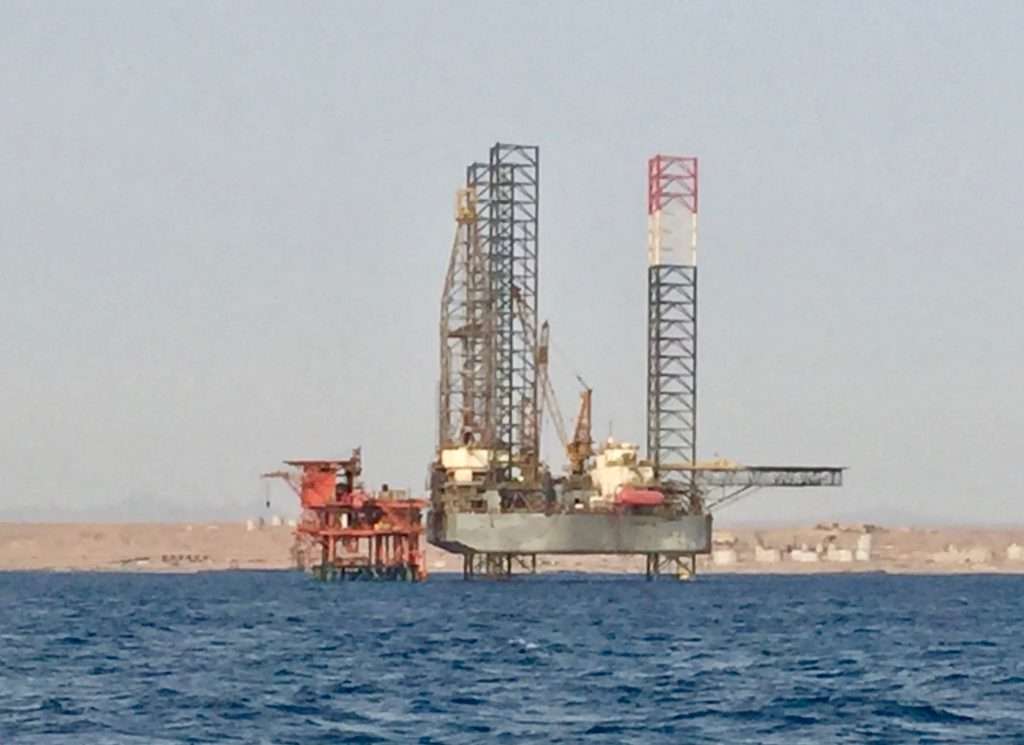
The Gulf of Suez is littered with oil and gas rigs.
Well, as experienced many times before, these models all proved inaccurate, because as we headed out of Port Ghalib, the wind picked up to 20 knots – straight on the nose. This resulted in a bone jarring all-nighter of choppy 2m swells, which we tried to motor sail into obliquely with waves breaking over the boat, crawling along at 2 to 4 knots. So jarring in fact, that one of the ceiling panels in the saloon dropped down! 11:30 am the next morning the wind and the swell decreased, allowing us to sail.
Ceiling drop down – took hours to re-assemble the switches!
It was a relief to sail into Marsa Abu Makhadiq at 5:30 pm. Having only covered 119 nm in 25 hours. We had a good night’s sleep, setting sail again at 5:30 the next morning to take advantage of the lighter winds. A difficult day’s sailing is usually followed by a good day, so we were able to sail across the entrance to the Gulf of Suez in a 16-18 knot wind averaging 7 – 9 knots SOG. The coast of Africa was left behind and we were able to cross the busy shipping lanes between ships, heading for the southern tip of the Sinai Peninsula.
Marsa Abu Makhadiq.
Goodbye Africa.
A brisk sail.
After 40 miles, as we approached the Sinai coast, the wind petered out, so we started the cast iron genoa to make as much northing as possible, before the next N-W buster was predicted to come through at midnight. This got us as far as port El Tor just after sunset, having covered 87 nm. This time the predictions were correct and at midnight the wind started howling, putting strain on our ground tackle. We were surprised to find “Salima 2” a Bavaria 36 at anchor, with an elderly French couple (read, older than me) on board, who have sailed around the world. We first met them in Darwin and have caught up in different ports along the way.
Salima 2 in El Tor.
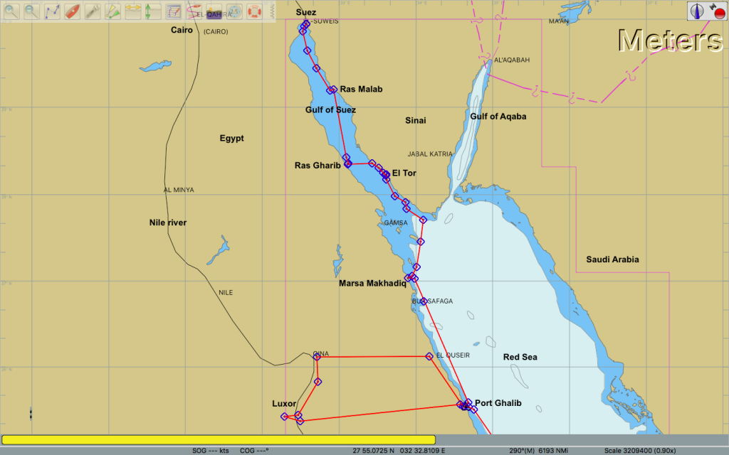
Port Ghalib to Suez.
Sunday was spent relaxing, servicing the anchor winch, tightening the jib furler and other maintenance items while the wind continued blowing. On the beach was a hotel with water sport equipment and the board sailors were flying past us. We had internet via our phones, so were able to catch up with emails. Also made some calls via satphone to the rellies. The wind pumped continuously through Monday and Tuesday, but on Tuesday after lunch with Darryl at the Moses Bay Hotel, we walked into town to buy fresh produce and provisions. It was a long walk, but we found more or less what we needed in small shops and markets.
Remember when we were addicted to this?
Le Tor shopping precinct.
On Wednesday we bit the bullet and motor sailed across the shipping lanes in an 18 knot NW to Ras Gharib, where spent the night in a very rolly anchorage, hardly able to sleep. The next day, we zig-zagged back to Sinai to anchor at Ras Malab, 60nm up the coast. Here we had Egyptian soldiers with AK47’s inspecting our documents and passports, photographing everything, as evidently, this was a military post!
Approaching Ras Malab.
Just as well Karen & Michelle caught a bus to Cairo in Luxor, as they would have been a week late for their flight to South Africa by now. They were being spoilt in Cape Town by their godmothers and friends. The Adelbert’s lent them a car to drive up the Garden Route and visit the Afrikaburn festival.
Karen & Michelle in Cape Town.
Vimy in the meantime had developed electrical problems – it appears either the alternator or voltage regulator had packed up. So with his batteries running down, Darryl had to manually steer his boat, hoist the anchor by hand and had no instruments or VHF. We escorted him to Suez, where he hoped to get it sorted. Finally, on Friday the 13th April, the wind died and we motored the last 48 nm to Suez city over flat seas. We were by now over the dust sifting down, and the wind coating the boat in a crust of salt and dust.
Vimy ahead of us.
Port control gave us permission to motor to the Suez Sailing and Rowing Club, despite the southbound convoy coming down the canal, with the first ships already exiting the canal. It was intimidating squeezing past these behemoths with barely 60m to spare in the channel. We were met at the yacht club by Karkar, the offsider of Captain Heebi of Prince of the Red Sea, shipping agents. He deftly tied us to a buoy and pulled Esprit’s stern to the small jetty and tied us up. Soon after, the larger than life Captain Heebi appeared and relieved us of USD500 for Suez Canal dues, port clearance, agent’s fees and 160l of diesel, which was promptly delivered the same evening.
The Suez mosque next to the canal.
On Vimy, Darryl cracks open a bottle of Champagne to celebrate our arrival in Suez.
Captain Heebi also arranged a minibus to drive us into Cairo to see the pyramids on the Monday for USD70 per person including entrance fees and lunch. The Saturday was spent cleaning the boat with fresh water whilst being inspected in turn by Customs, Immigration, The Canal Authority and the Army at 8pm! The Canal Authority makes quite a meal of measuring your boat to determine the fees due, to transit the 162 km long canal. Ours was calculated at USD200, which didn’t seem much, when we were told the big Maersk container vessels pay between USD500,000 to 800,000 to transit the canal. Good revenue earner for the Egyptian nation.
The rundown Suez yacht club.
Karkar and Captain Heebi.
Esprit and Soul tied up to the jetty next to the canal.
After coffee Sunday morning on Soul, we walked a kilometre to the nearest supermarket which was very modern, having opened in January. Surprisingly, the supermarket and two others, are ventures of the Egyptian 3rd Army. The shop assistants are all national servicemen/women doing their one-year military service after college! The manager (commanding officer) delegated Abu, who spoke English fluently, to accompany us through the shop and answer any questions – not many products have English text on it. We were quite a sensation – they have not had any customers spending AUD70 on groceries.
Mike waiting for the supermarket to open.
Not aware the supermarket has opened – Sarah and Annie.
A novelty person for local kids at the supermarket.
The trip to Cairo on the Monday was interesting in many respects. All along the road from Suez to Cairo, the areas on both sides of the road were pockmarked by piles of building rubble and rubbish. It appears there are no demarcated rubbish tips and the people therefore dump everything next to the roads. Cairo has a metropolitan population of 21 million people, living in a large rubbish dump, with half built buildings as far as the eye can see. The dreary dust covered structures are relieved by thousands of billboards along the roads, providing the only colour. The Nile flowing through Cairo.
Urban architecture.
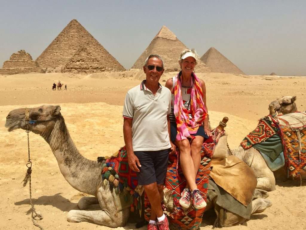
But then you arrive at the Pyramids of Giza: These 5,000 year old structures are truly amazing. It begs the question how such an advanced civilisation from so long ago, building such complex structures, could have degenerated into the chaotic and unplanned city that Cairo is today. Mike and Sarah from Soul, Darryl from Vimy and ourselves, negotiated a guide and camels at $25 per person to take us around this vast area, having espied the sandy terrain we would otherwise, have to negotiate by foot. The camel ride is an experience in itself and not recommended for persons suffering from hemorrhoids. You do walk like an Egyptian after extended periods in the saddle.
Camel train.
Walking like an Egyptian.
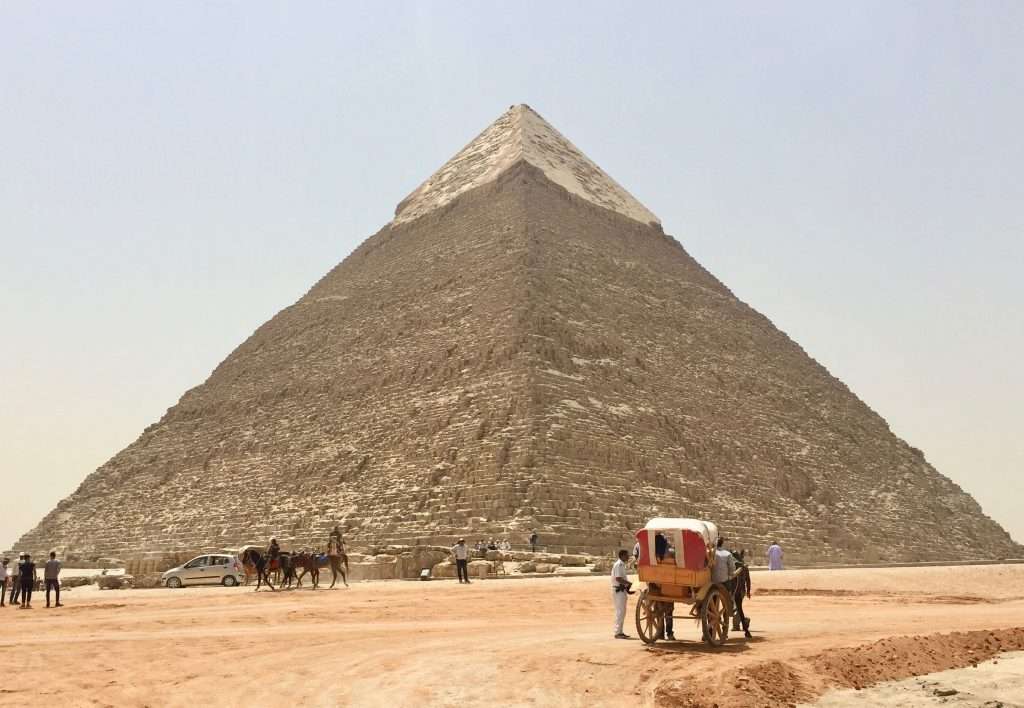
Khafre’s pyramid. The limestone cap is what remain of the cladding, which was stripped by later generations for buildings.
Close up of – Khafre’s pyramid, 143m high.
The ladies had to touch the great pyramid of Khufu.
Ahab and Fatima with their camel called Clyde.
Our tickets also included a visit to the Sphinx and the museum underneath it. Then, there was a bit of a frisson with our guide about the size of his tip – everyone tries to milk you for every piaster they can get. Afterwards, we had a lovely lunch, compliments of Captain Heebi, before fighting the traffic back to Suez, where we arrived at 5pm. Thoroughly parched and aching for beers, we decamped to the spacious deck on Soul, where after the beers, many soothing wines were consumed with gusto.
Below the Sphinx.
The Sphinx guarding the entrance to the pyramids.
Bye-bye Clyde!
The Suez Canal
We were planning to stay in Suez for four days, but we ended up staying for nine days, due to very high N-W winds off Port Said and on our route to Cyprus. This gave us the chance to do some maintenance work on the dinghy outboard, the deck wash pump and also do a couple of loads of washing in the yacht club laundry. It also provided a non-stop view of all sizes of vessels steaming past us in the canal, a 100m away.
American warship heading south.
Container vessel making the warship appear like a Dinky toy.
And then, “Majestic Maersk”, when launched in 2013, at 400m, the longest ship in the world. (20,566 TEU containers)
We also braved the streets of Suez city on our bikes in search of a chandlery. Not recommended, as we saw not a single other bicycle and our presence on the road resulted in rubbernecking by vehicle drivers, causing near collisions. Also, in a city where the burqa is quite common, a woman on a bike dressed in shorts and a shirt, raised some lecherous banter from the Arab studs in their clapped out cars.
Suez canal route.
Ahmed, a canal pilot came on board Esprit on Sunday morning at 10am, the 22nd April and after the main convoy of ships had passed, we headed north in the canal to Ismailia where we arrived at 6pm for a compulsory overnight stop for yachts. Ahmed wasn’t backward in coming forward: As soon as we departed Suez, he asked for a pair of sunglasses and a packet of cigarettes and matches. Five minutes later it was for coffee (only drinks Nescafe) and cake. Annie offered him biscuits, which he grudgingly accepted. There followed a string of requests for orange juice, tea and lunch, which he woolfed down, but didn’t enjoy!
Ahmed.
Ahmed was proud to tell us that he had been working for the Suez Canal Authority for 21 years, that they paid well and that he was arranging for his son to get a job there as well. On arrival in Ismailia, the usual arguments then ensued about baksheesh, which really puts a damper on everyone’s Egyptian experience. The four yachts who were transiting together agreed to provide food and water, and tip the pilots USD10 each plus a packet of cigarettes and clothing. They were after all earning salaries from the SCA.
12:00 and a warship leads the southbound convoy.
Esprit carefully passed these monsters.
We were warned about Somali pirates, but not about the Egyptian pirates. The pilots demanded between USD20 – 50 each for their eight hours of work. The guy who caught our lines at the jetty, demanded USD5 and the SCA yacht club manager wanted to rip us off for more than the standard SCA, USD21 per night.
The well maintained SCA yacht club at Ismailia.
The next morning at 5am, when we were supposed to depart Ismailia for Port Said, we were informed that a warship was transiting the canal and that we will be informed later when we could leave. We phoned Captain Heebi who, after numerous calls managed to get us back in the canal after the warship had passed, at 11am. A new pilot Alec, came on board to accompany us to Port Said where we arrived at 6pm. Since the wars with Israel, the Egyptians have put numerous rapid deployment canal bridges in place – see below:
Mk. 1 bridges.
Mk. 2 swing bridge.
Mk. 3 floating bridge.
The new high bridge – still no traffic on it!
To summarise, for sailors who may be planning a similar trip – April 2018 costs for the Suez Canal in US$:
Suez marina 9 nights @ $21: $189
Canal Authority for a 44’ (13m) monohull: $200
Port clearance: $40
Agents fee (Prince of the Red Sea): $80
Ismailia marina 1 night: $21
Baksheesh pilots: $20 plus cigarettes, food, drinks and clothes.
Midnight Wednesday 28th March and we tied up at the Port Control and Customs jetty in Port Ghalib, Egypt. We had sent emails advising the authorities of our ETA and tried to call by sat phone to find out if a night entry into port would be in order. No response, so we navigated in to find a couple of officials waiting for us on the jetty and welcoming us warmly. We gave them our passports, ships rego and crew list and were told they would be back the next morning at nine, with all the paperwork. We had a celebratory drink with Mike and Sarah on Soul who had arrived with us, went to bed and slept like logs after the 43-hour passage.
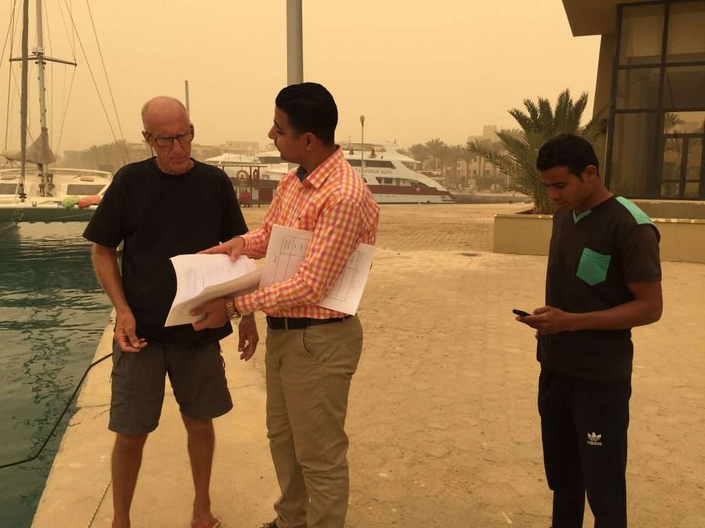
Dust storm – Port office and Esprit.
The winds were kind to us as we had 15 knots of easterlies on the beam for the 280nm route – blogs often report winds of 35 knot northerlies on the nose, blowing for days on end. We woke up on Thursday the 29th March, four weeks to the day since we left Cochin in India, to find that the wind had turned west overnight, bringing in dust from the desert, covering everything under a blanket of dust. The sun could not be seen through the dust cloud and we decided to chill for the day, or until the dust cleared, before cleaning up.
Port officials with Mike of Soul.
Esprit covered in dust.
At about 2pm the dust started clearing after a wind change to the north east. Our visas, customs clearance and other formalities were completed after 5 hours. Lots of paperwork, but very friendly officials. We were allocated two stern to tie ups on the long break wall of the bar and restaurant strip – right in front of the “Hakuna Matata” bar where people partied until the wee hours. We had a late lunch and stroll through the commercial centre next to three huge resorts. Sundowners with “Soul” and “Vimy” was followed by dinner on shore at very reasonable prices. We bought data for our modem and reserved a guided tour to Luxor, about 4.5 hours inland on the Nile river.
Girls on land in Port Ghalib.
Sundowners with Mike & Sarah opposite the boats.
Paddle boarding.
Snorkeling.
Haircut for dad.
Saturday at 5:30am, Abdul the driver picked us up at the marina and set off at a cracking pace through the desert. Annie had a similar Kia Rondo in Sydney but never drove it at more than 100km/h. Not Abdul – he put pedal to the metal and cruised at 160km/h, on roads with potholes, negative camber and overtaking on blind corners. I wished I had a handful of Valium to relax or fall asleep.
Formula one Kia.
Some greenery in the mountains.
Miraculously, we arrived in Luxor intact. We picked up our guide Bahy, who took us to the Valley of the Kings – a vast necropolis where many kings from 2000 BC onwards were buried. The story of Howard Carter’s discovery of the boy-king Tutankhamun in 1922 is well known. We visited his tomb, as well as the tombs of Ramesses 5 and 6, and Horemheb.
Entering the valley of the Kings.
Tomb of Horemheb.
Sarcophagus room of Ramesses 5.
Two friendly guards showing Michelle how to wrap her scarf.
Walk like Egyptians.
The Colossi of Memnon.
After lunch we drove to another valley where the Temple of Queen Hatshepsut was located. The adjoining temple of Mentuhotep 2, was not rebuilt after the earthquake of 27BC.
Temple of Hatshepsut.
See, we were there!
The colonnade.
We checked into the Lotus Luxor hotel where our room balconies looked down on the Nile. We had a swim, showers and sundowners before bedtime. Lunch was late and huge, so we skipped dinner.
Dhows on the Nile – from our balcony.
The following morning after breakfast we set of to the Karnak temple, the largest temple complex in the world, comprising 25 temples, built over thirteen hundred years. I was gobsmacked by the scale of this site. In my first year of architecture, we had to acquire Banister Fletcher’s bible “A history of Architecture” and I used to marvel at this temple complex, hoping one day to clap eyes onto it – well, here I was, overwhelmed!
Walking to the entrance of Karnak.
Hieroglyphics.
The hypostyle hall – 134 gigantic columns, 21m tall.
One of the two remaining obelisks – each carved out of one piece of granite.
Reconstructed statue of a Pharaoh.
For an encore, we visited the Luxor museum where a lot of the treasures of these sites are on display – many though were installed in the museum in Cairo, which we hope to visit when we go to see the pyramids.
Luxor museum.
Pharaoh no. ? (There were 30 dynasties)
Amenhotep 3 with the god Sobek – 18th dynasty.
The middle coffin of Ramesses 6.
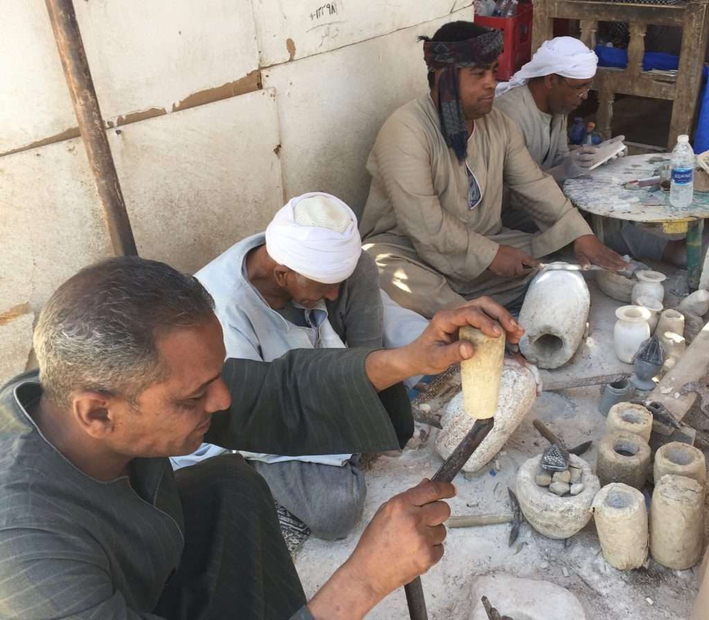
We also visited an artisan community who still produce artefacts in stone, in the traditional manner.
Craftsmen at work with traditional tools.
Finally, we were treated to a cruise on the Nile before heading back at breakneck speed to Port Ghalib, compliments of Abdul – with me now ensconced in the back seat, my eyes glued to a book. Karen and Michelle took a bus from Luxor to Cairo from where they will fly to South Africa, for the “Africa Burn” festival in the Karoo.
Obligatory Nile cruise.
Michelle & Karen on their way to Cairo.
Racing back through the desert.
The boat felt empty without them on board, but we started cleaning up the dust, bought groceries and wine (surprisingly palatable Egyptian wines) before giving the Port Captain 48 hours’ notice of our departure to Suez on Thursday – he has to keep the Coast Guard happy, hence the timeous notification.
The friendly Port captain.
View from the port captain’s office to the harbour entry – note the reefs.
View to the marina.
View to the resorts.
Across the marina, the desert.
The modern souk shopping precinct.
More shops.
A tourist boat.
Cheers until we post a final blog on Egypt, after the Suez Canal and before sailing to Cyprus.
Sailing from Massawa, using two chart systems: Navionics and OpenCPN, because of the sparse charting.
Leaving Massawa in Eritrea at 10:00 on Monday the 19th March, there was a perfect 10-12 knot wind from the east to take us up the coast on a broad reach. We decided to use the wind for as long as it lasted and sailed through the night and the following day, to anchor at Talla Talla Kebir island after 215 nm. This left us with a short 53nm sail to Suakin in the Sudan the following morning. We phoned Mr Mohamed the agent, on the sat phone to advise him of our arrival. He was waiting for us at 4pm when we anchored in Suakin.
Mr Mohamed.
Mr Mohamed was fluent in English and within 30 minutes he had completed the paperwork for shore passes etc. and organised two 10GB SIM cards with enough data for our emails and for Karen to complete her UM Uni assignments. He also organised and delivered 400 litres of diesel at 70c/l to fill our tank and have 300l spare in jerry cans. The government derives a good income from yachties (Sudan desperately needs it), so we parted with USD210, including Mr Mohamed’s fee. We had a quiet evening with all of us catching up with our emails and admin – our minute Huawei modem linking all four laptops via Wi-Fi.
Karen contemplating her dinner menu.
The following day, the ladies on our boat set out for the markets, suitably attired for this strict Muslim country. The patriarchy is alive and well here, with very few women seen on the street or at the market – it’s a man’s world. If you do see a woman, she is covered from head to toe in fabrics. Annie and the girls were stared at by the men and felt uncomfortable. We thought Massawa in Eritrea was a sad sight, but this place is a dump – a country where the economy has been crippled by years of civil war between north and south (read Muslims and Christians). I stayed on the boat, filling the water tanks and defrosting the fridge.
Walking to market – Karen searching for a bin to put our rubbish.
Down the main street.
Buying vegetables.
Buying hooks and lures – the merchant was happy.
One of the two ladies they saw – with child.
Two big yachts, “Cannonball”, 77ft and “King’s Legend”, 65ft arrived, full of young people of Karen and Michelle’s age. We were invited to Cannonball for drinks and left later for more drinks on Soul. The girls went out with the young people to dinner and an all-night party on King’s Legend. They arrived back the next morning with hangovers, after which Annie and I lifted the anchor to motor to Sanganeb Reef, 43 nm north east of Port Sudan.
Cannonball.
Karen – last visit to the old town.
Michelle – ditto.
This turned out to be a good spot to relax with lots of reefs for snorkeling and a lighthouse to visit. The lighthouse keeper was happy to see visitors and allowed us to climb to the top.
Motoring to the lighthouse.
Lighthouse built by the British.
View across the lagoon to Esprit in the background.
The light.
The stairs going down.
Walking back to our dinghy.
Good snorkeling at the drop off by the end of the boardwalk.
We had just finished lunch after snorkelling, when Cannonball and King’s Legend dropped anchor. Our girls were a bit more cautious for a change and we enjoyed a quiet evening.
Kings legend.
After coffee with Mike and Sarah from “Soul” the next morning, we set sail in a 10-12knot N-E to reach north west for an overnight sail to Khor Shinab, 120nm from Sanganeb reef. The sea was steep and lumpy after a strong north easter, so by sunset we started the motor and headed straight into wind. The boat was slamming hard into waves, almost dislodging the fillings in my teeth. We arrived at Khor Shinab the next morning at 8am and dropped anchor in the deepest bay of the marsa (lagoon).
Karen on bommie lookout as we enter the marsa.
The day was spent exploring this lunar landscape, walking up a wadi and climbing some of the hillocks.
Runners on for the hike into the hills.
Walking across the wadi.
Top of the first hill.
Nice colours, but very little grows here.
View down to the marsa with Esprit in the background.
The girls hiking to the next ridge.
Well done! They made it to the top.
Afterwards the girls did their washing.
Laundry on the life lines.
Some fishermen arrived late afternoon and asked for water and we asked if they had fish to sell. We bought two red snappers with the currency of a kilogram of sugar and rice each, a packet of cigarettes and two bonus caps. Although I detest smoking, we were advised on numerous blog sites to carry cigarettes as these were as valuable as dollars. Hence, a carton of cheap lung cancer bought in Langkawi. We invited Mike and Sarah from Soul over for a fish barbeque and enjoyed a pleasant evening in their company.
Red snappers – Frank, I was thinking of you!
The next morning at 5am we lifted anchor at Khor Shinab (across the narrow Red Sea from Jeddah and Mecca in Saudi Arabia) and started motoring north to Port Ghalib in Egypt, passing the disputed border between Sudan and Egypt by midnight. Does this sound familiar? – most borders in this region are disputed. This then is a short account on the Sudan – we will report again from Egypt. Cheers for now.
Note: This is a longer post than usual, as there was more time during this passage to reflect on events and record it for posterity.
The 28th of February 2018, was spent checking out with the Cochin Harbour Master, Indian Customs and Immigration. A tedious process which took 6 hours – lots of officials aimlessly talking and walking around. We were delighted when Immigration, the last department, took only 30 minutes to exit stamp our passports, so we bolted down to the docks, jumped into our dinghy and motored out to Esprit. We were determined to leave the Indian bureaucracy, the mozzies, the heat and pollution behind us, as quickly as possible. We pulled up the anchor and motored out of the harbour at 4:30 pm to set off across the Arabian Sea on the passage to the Red Sea.
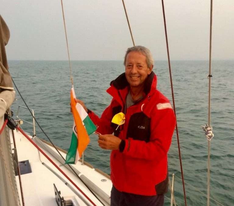
Lowering the Indian flag.
The initial plan was to anchor a mile offshore, dump the undrinkable marina water in the aft 200l tank and run the water maker for 90 minutes to fill the tank with clean water. The stiff onshore wind and swell negated this plan, so we set sail and headed south west to the Nine Degree Channel, south of the Indian Cannanore islands, about 150 miles offshore. We got word that the Turkish boat in our group had decided to set sail from the Maldives, but rather go south to round Cape Town. The New Zealand 16m catamaran “Soul” was about 5 miles behind us, so we sailed together until we could catch up with the Swiss, “Elas”.
Beautiful sunsets.
The first night’s sailing was perfect, with a 10 knot wind, flat sea with 1 knot current in our favour and a full moon. By 10am on day one (the 1st of March) Soul passed us, as the wind dropped to 5 knots. We furled the jib to slow down and ran the water maker for two hours to make 300l of fresh water. We set sail again as Soul disappeared across the horizon. We were about 20 miles south of our intended route, but during the night clawed our way back north and caught up with Soul.
Soul passing us.
At 3am, I heard Mike on Soul, less than 2 miles ahead of us, calling the 300m long cargo vessel “Colombo” to tell them that they were closing in on us at 19.5 knots at right angles to our course. No reply, so I tried to raise them a few times and eventually got a reply. Their watch captain confirmed that he could see us on AIS and after I reminded him we were under sail and have right of way over power, he said he would alter course to pass behind Esprit. It was a big a surprise to discover that he altered course to gun for the gap between Soul and Esprit, missing Soul by a mile and Esprit by about half a mile! I hastily altered course to starboard to miss his stern – so much for the laws of the sea.
Rain! Time for a shower.
Day 2 dawned, still with perfect conditions but light winds, so we hoisted the asymmetric spinnaker. By noon, we passed Suheli Par, the most westerly of the Indian Cannanore Islands – shortly after which we were called by the Indian Coast Guard, for our particulars and to enquire if we had an armed guard on board. We were puzzled by the last question, but soon discovered that the cargo vessels and tankers passing us, showed on their AIS’s “Armed Guards on board” or “Navy Seals on board”, while we were still a week or more away from the HRA “High Risk Area”. It made us feel under staffed.
The girls having a nap after a busy day of tanning.
The winds were light and variable for the next two days, but Karen and Michelle’s racing skills came to the fore from here onwards, by using the wind shifts to maintain good boat speed. We made contact with Elas and Soul on day 4 to get their latitude and longitude positions. Our relative positions showed that Elas was about 60 miles south of us and Soul about 40 miles north-west. Elas said they had encountered head winds and that we should not wait for them, but use the north-easterly that kept us on course, to push ahead.
More beautiful sunsets.
The 5-day Predictwind forecast, downloaded on our Iridium Go, indicated a strengthening north-easterly. We decided to take advantage of the winds indicated and sail a northerly rhumb line route to Socotra, an island off the Horn of Africa – still 750 miles away. By the evening of day 4 we were pushed along at a brisk 8 – 9 knots SOG which held through the night and the following 3 days. On day 5, Karen hooked a Dorado, also known as Mahi-Mahi. This 60cm catch provided us with an excellent dinner. The girls also worked on their tans, read many books and watched movies in the evenings.
Karen’s Dorado.
If it had been slightly daunting to read about the HRA – High Risk Area for piracy, we were now having to travel through it and so of course, we wanted to get it over with as soon as possible. Vessel movement reports were sent to MSCHOA (Maritime Security Horn of Africa) and UKMTO (United Kingdom Maritime Trade Operations). It was reassuring to have the UKMTO phone number on sat phone speed dial if we needed it. The strategy adopted for dealing with the pirates seems to be working. At the height of Somali piracy in January 2011, 736 hostages and 32 ships were being held by pirates. By December 2014 that number has dropped to 30 hostages and no ships being held. In 2015 there were no attacks and just one suspicious event. Now, the Atalanta EU task force is in place, so we felt that this year is one of the safest to travel through the area.
The HRA.
The IRTC (Internationally Recognised Transit Corridor) runs for about 550nm down the Gulf of Aden, between Yemen (war) to the north and Somalia (pirates) to the south. The IRTC has two lanes, each 5nm wide and a separation zone between them, 2nm wide – effectively a traffic separation scheme. We planned to transit the Gulf of Aden in the buffer zone between the two lanes. This section to Bab el Mandeb is potentially the most dangerous area, patrolled by the coalition navies. We estimated we would reach the eastern entry point B of the IRTC on day 9 or 10, at our current speed. Our response in the event of an attack, had to be planned well in advance amongst the crew and these plans were now finalised, valuable assets hidden and radio and phone duties confirmed.
Start of the IRTC.
Day 8 arrived and the wind started dropping to 8 knots, 240nm from the IRTC. The engine was fired up again – the first time in four days. The nights have become noticeably cooler as we were heading north – evident when you looked at the water temperature readout from the hull transponder. The water temperatures varied from 32.5 degC in the tropics, to 30.8 degC in Cochin. It was down to 26.7 degC this morning. Shipping traffic has also increased approaching the IRTC, with huge tankers and cargo vessels passing us in both directions. Word from “Soul”, the 16m catamaran is, that they will be entering the IRTC tonight at around 6pm – a day ahead of Esprit. The light beam reaching winds have suited them well. “Elas” is a day or more behind us and have emailed to say they may pull into Socotra island for a break.
There are a number of yachts in Socotra taking on diesel and waiting for the best weather window. We plan to head down the IRTC, through Bab el Mandeb and on to Massawa in Eritrea for a two-day rest. Sunrise on day 9 and we passed the island of Socotra 70nm to our port side, with the north-eastern entry point B to the IRTC, still 120nm away. At 10:30am the wind died, so we furled the jib, to slowly drift while we started the water maker. After two and a half hours the water maker had made 350l of water and our water tanks were full – we didn’t plan on stopping in Djibouti, before Eritrea. I also topped up the diesel tank with 60l of diesel. The girls were enjoying the crystal clear water, diving and swimming, when a coalition patrol plane circled us not once but twice to take a closer look. Fifteen minutes later another plane arrived to do the same!
Foredeck mascots.
Diving exercises.
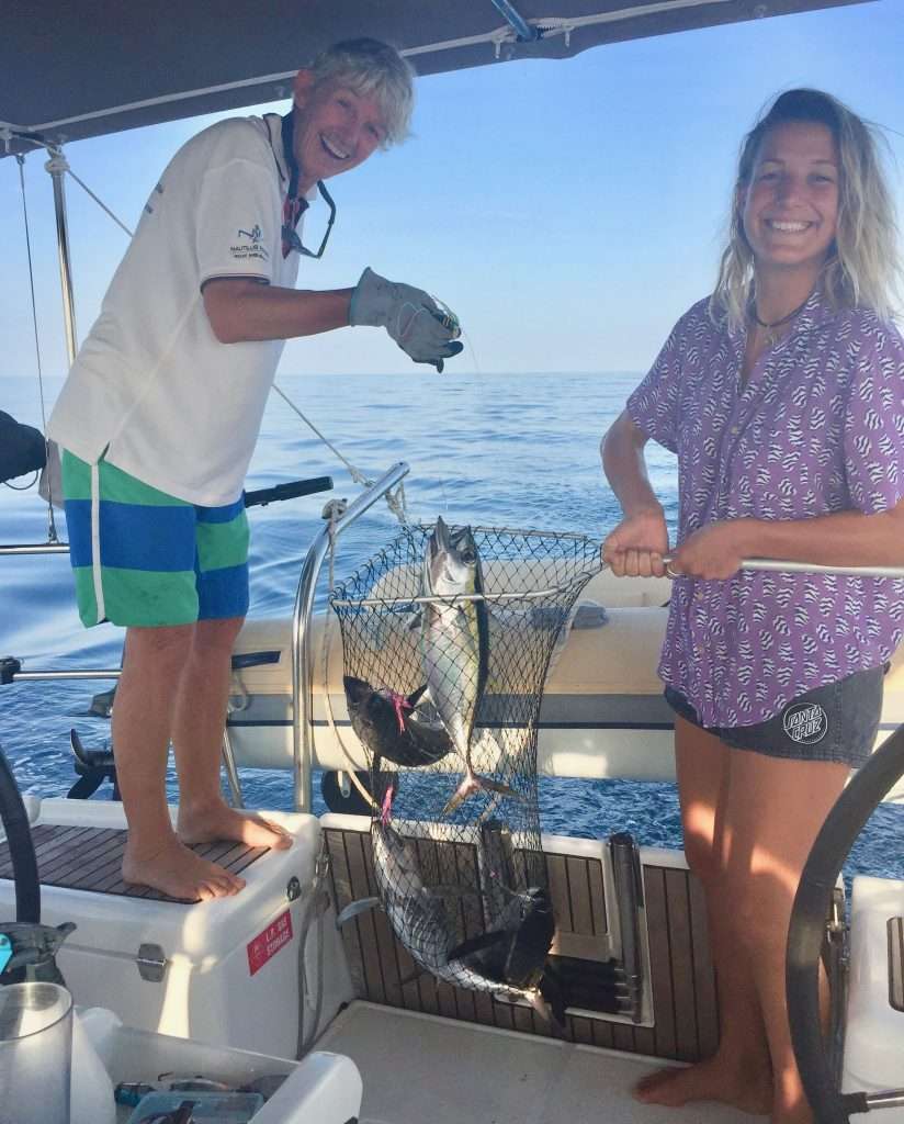
The motoring continued at 13:00 over a beautiful flat sea. An hour later I dropped Naomi Klein’s book “This changes Everything” (a slow burn read over 4 days), when there was a commotion on deck. For the past week, the girls had been trawling a thick line with four lures attached 3m apart, to improve their odds of a bite. We must have motored through a school of Bluefin tuna, because they struggled to pull in 4 tunas – all the hooks taken! We released two and cleaned and cryovacked two for eating. The sea in this area was teeming with dolphins, Orca’s and fish.
Four tunas.
Two for eating.
I just remembered a funny passage from the above book: A cartoon about global warming: A man stands up at a climate summit and asks “What if it’s a big hoax and we create a better world for nothing?”
We entered the IRTC after 9 days and 12 hours of sailing, having covered 1,447nm (2,680km) from Cochin in India. The separation zone was clear as we motored west after sunrise, but the AIS showed up to 30 target vessels on the GPS screen, passing us on both sides.
This behemoth is 400m long.
By day 14 we had cleared the IRTC and were in Djibouti waters and Karen hooked three more Bluefin tunas. Next challenge was getting through Bab-el-Mandeb, Arabic for ‘Gate of Tears’, according to Wikipedia “The strait derives its name from the dangers attending its navigation, or, according to an Arab legend, from the numbers who were drowned by the earthquake which separated Ethiopia and Arabia.” The distance across the strait is about 17 miles so the wind tends to funnel through here and bend around the land, oscillating between northerly and southerly. We had timed our passage to coincide with the change to southerly winds and a rising northern tide.
The route through Bab el Mandeb.
But, we were still a bit early and so on the Djibouti side, the wind turned east, at 15 knots and we had a leisurely sail through Bab el Mandeb up to the Hanish islands (also under dispute between Yemen and Eritrea and best avoided). Then came the expected southerly winds, but gusting up to 35knots – a shock to the system – so we put 2 reefs in the main and with a small bit of headsail we screamed up the western shore, to cover 193nm in 24 hours. Evening day 15 and we anchored in Anfile bay behind a flat, featureless island – exhausted after fighting the steep sea. We cracked a bottle of champagne to celebrate! The following day, a pleasant sail to Port Smythe, on a small island, to anchor overnight.
Predictwind showing the wind we had.
Bare minimum of canvas.
Karen having her hands full in a big sea.
A word on boat insurance for the Red Sea HRA: We have been insured for years with Club Marine in Australia. They provide cover for yachts up to 250nm off mainland Australia, Tasmania and New Zealand, but are not prepared to extend their risk beyond that geographic limit. So we had to look elsewhere and insured with Topsail (Lloyds registered) when we left Australian waters. When we approached the Red Sea, Topsail were not prepared to cover us for the HRA. Annie found a Dutch insurance company who placed the risk with Lloyds, who underwrote our risks for loss and damage in this area, but excluded piracy and war. This cost us USD5,000, but we felt it worth the while for an investment of AUD500,000 to date. Well, this was the quickest USD5,000 blown in 7 days, because of the fear industry! Think twice before spending this money.
Tied up at Massawa tug wharf.
Day 17 and we arrived in Massawa, Eritrea in the Red Sea at 11:00 to tie up at the tug jetty after 2,430nm (4,500km). After 30 minutes, we were boarded by Customs, Immigration and Quarantine for a quick check and paperwork. We received a 48-hour shore pass for free – after 48 hours you pay US$50 per person for a visa to stay longer. Esprit was then anchored 50 metres from the jetty and soon we went ashore with a mountain of washing, which we deposited with Mike (Weldemicael Habtezion) at the Yasmin Bar for washing. Mike showed us to a café he thought was good and we had a lovely seafood lunch with drinks. The girls went shopping and I went back to the boat to make water and fill the tanks, as the local water is undrinkable.
Esprit anchored behind the tugs. Note the bombed out Governor’s Palace in the background.
The restaurant. Great frontage!
Lunch spread. Mike at the head of the table.
Massawa looks like a movie set for “Mad Max” after 30 years of war to get Eritrean independence from Ethiopia. Bombed out buildings everywhere, with people living in squalor and desperately poor, but so friendly you can’t believe it’s possible after all their suffering. After filling the water tanks, I had made 3 tubs of extra water to clean the salt encrusted Esprit after 17 days at sea. The girls were a great help washing the floors and pressure cleaning the deck and fittings with fresh water. Annie and I were pooped after a busy day and after a shower and a bottle of wine, hit the sack – on clean bedding! The girls had enough energy left to hit town and visit a few bars and have dinner, before getting home late.
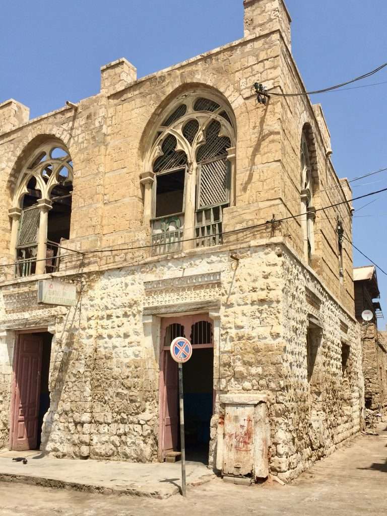
The erstwhile Italian town hall.
The rundown old town.
These places become lively bars at night.
We had a late sleep on Sunday and the girls went shopping for fresh food at the markets while I did some necessary repairs and maintenance on the boat – anything to not go shopping! Sunday evening, we strolled around the old town with its derelict buildings, to discover this town had the highest number of bars per capita – despite the Muslim presence. We did a thorough pub crawl savouring their local beer, gin and vodka, before having dinner at a restaurant serving local dishes. On the way back to the boat, we stumbled upon a wedding and were immediately asked to join in to the festivities. Late to bed, but up early next morning to fetch our laundry at Mike’s shop, before checking out with customs and immigration who went through our boat for stowaways. At 10:00 we set sail outside the harbour for Suakin in Sudan, 240 nm to the north.
Imagine these alley’s in the days of the Italians.
We had one too many at this pub run by two wonderful ladies.